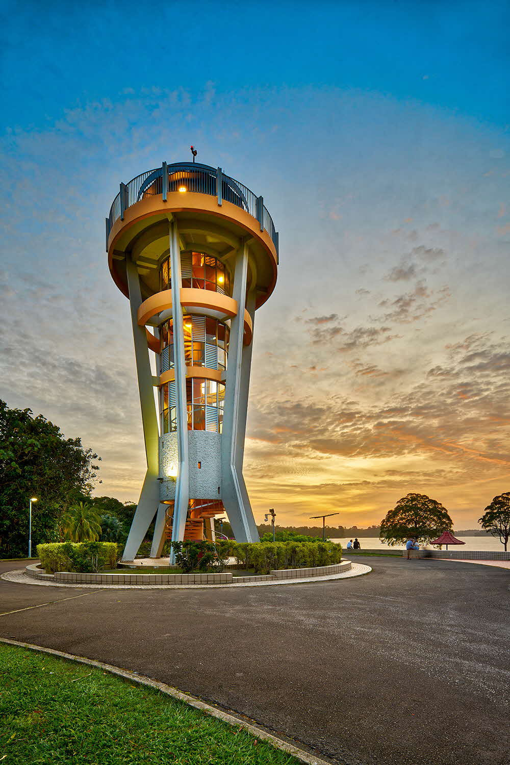
What does Yishun mean to you? In recent years, this neighbourhood has gained a reputation for being the most “happening” (Singlish for “exciting” or “trendy”) town in Singapore. But truth is, this is nothing new, for Yishun has long been a place that hogged the headlines, be it for its heritage or notable happenings in the area.
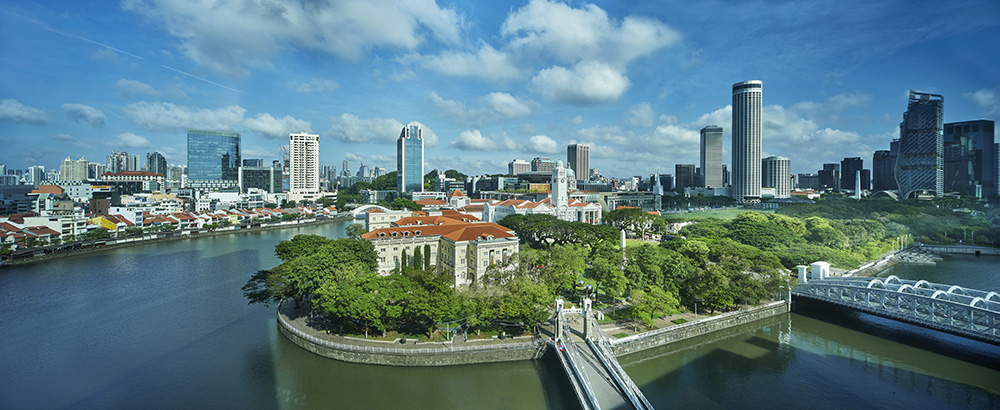
From the northern bank of Singapore River to Fort Canning Park and down Bras Basah Road to the Padang, the Civic District is where Singapore’s story began more than 700 years ago. Uncover these transformations and discover what makes the birthplace of Singapore so special through our curated trails.
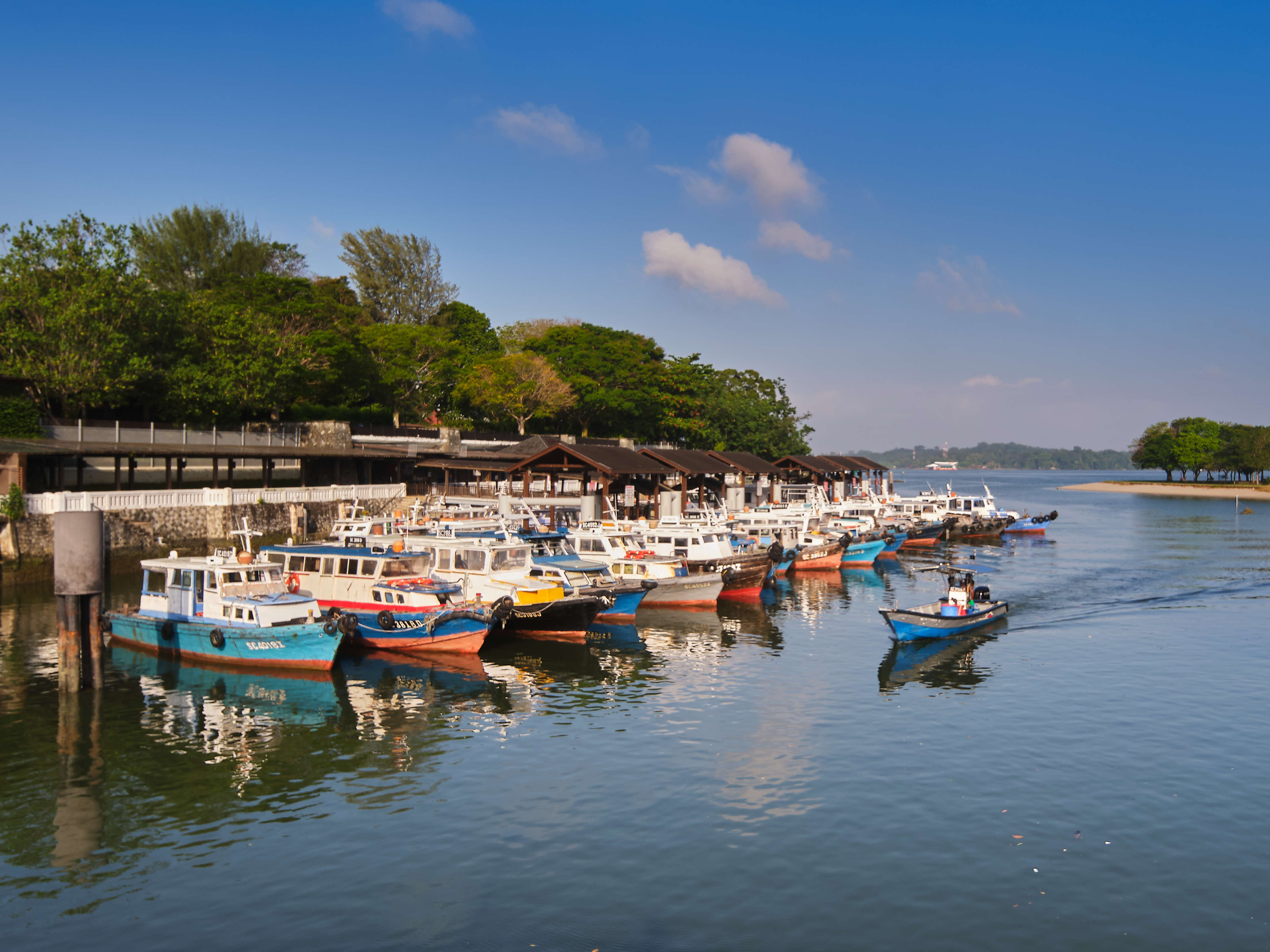
From stately military quarters to well-loved Changi Village, these three thematic trails showcase the landmarks of Changi and the stories of its communities. Pick a route and discover the rich and diverse heritage of Changi today!
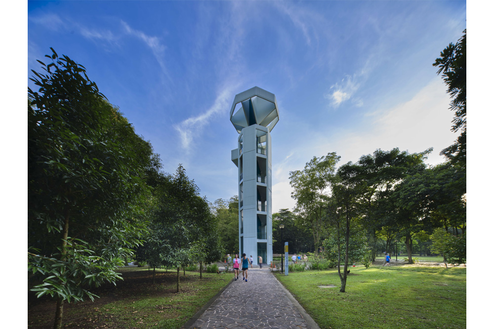
Known as a pioneering Housing & Development Board (HDB) town in the 1960s, Toa Payoh was originally swampland and plantation before it drew settlers who established kampongs and various cottage industries, as well as temples and institutions. This trail brings you to these iconic landmarks of rich heritage and community interest within this model HDB town.
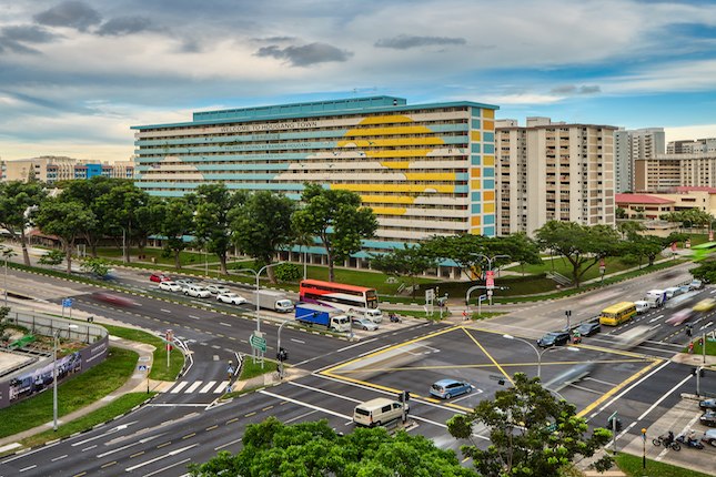
Mention “Hougang” and its Teochew enclave would probably come to mind and for a goodreason. Today, Hougang’s Teochew legacy can still be seen, from road names to institutions and landmarks that were established to serve the Teochew community.
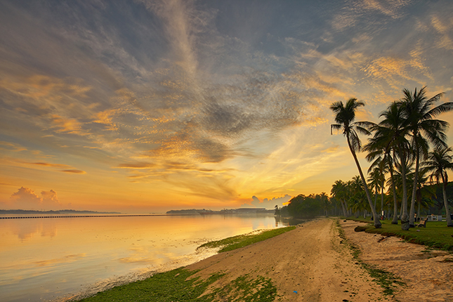
Mention Pasir Ris, and people are likely to recall memories of seaside adventures, holiday stays in chalets and public housing flats distinguished by maritime-themed design motifs. More senior members of the public may remember the Pasir Ris Hotel, converted from a tycoon's mansion, the bucolic kampongs set amidst coconut and rubber estates, as well as early tourist attractions such as Golden Palace Holiday Resort, and Villa Saujana and Dari Laut in Kampong Loyang.
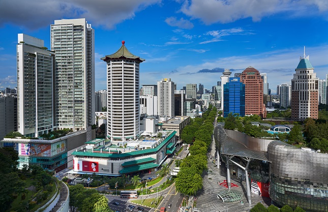
The Orchard Road area has transformed from a countryside retreat in the 1800s to the heart of Singapore’s tourism and retail scene today. Through the Orchard Heritage Trail, discover the communities, institutions, businesses and natural heritage that contribute to this area’s rich history.
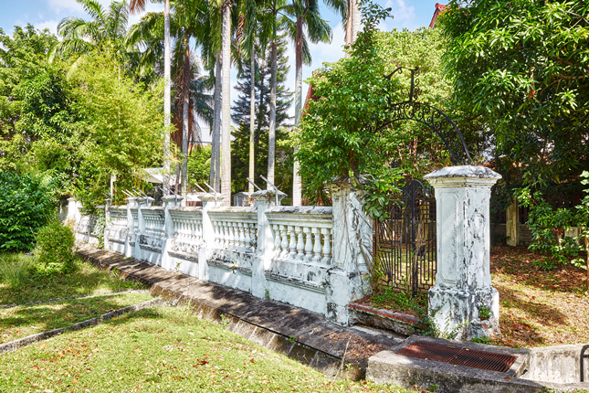
From pirates to beach parties, fishing villages to coconut plantations, the story of the eastern coast of Singapore shares many common threads with coastal settlements across the world. At the same time, the intertwined histories of Bedok, Siglap, Tanah Merah and the East Coast are unique in many ways.
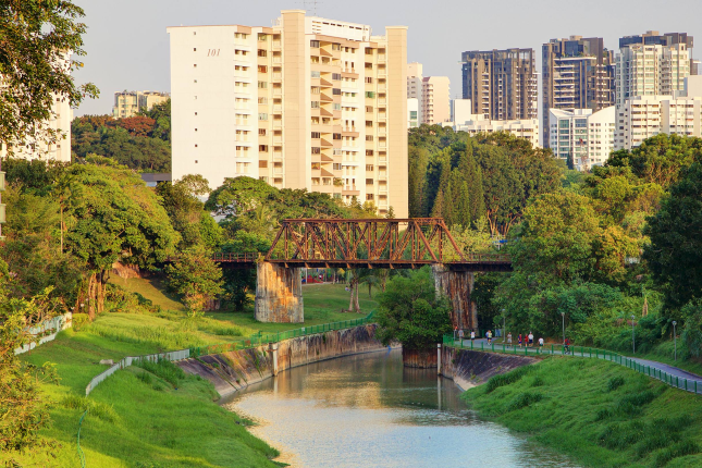
The Jurong Heritage Trail is part of the National Heritage Board’s ongoing efforts in discovering our shared heritage to document and present the history and social memories of places in Singapore. Explore the story of Jurong when it was formerly covered with plantations, and to follow its transformation into Singapore’s first industrial estate.
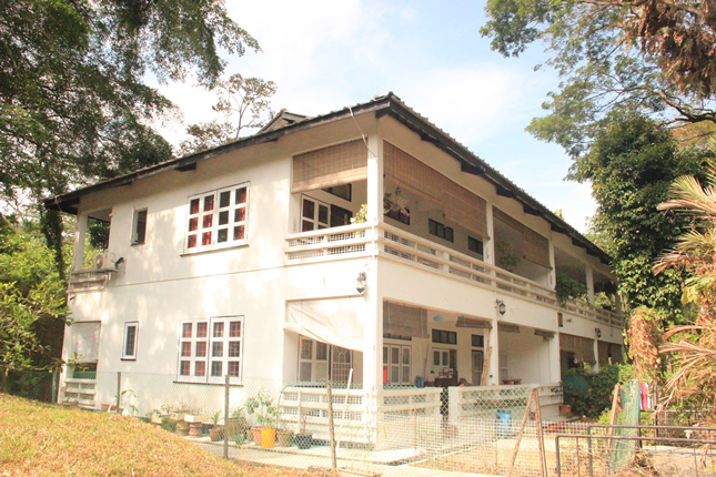
My Queenstown Heritage Trail recounts the story of Queenstown and visits the iconic landmarks which define the Queenstown skyline for the past 60 years. As the first satellite estate, the trail also tells you about the evolution of public housing in Singapore through personal stories of older residents.
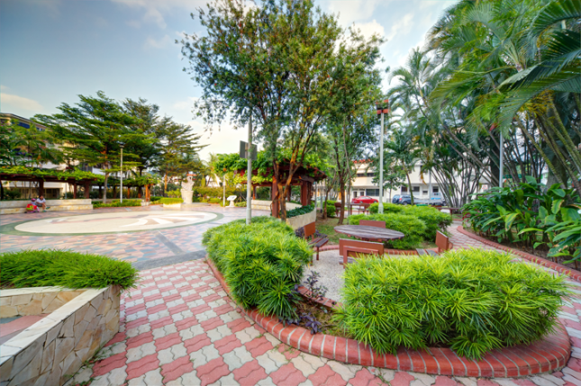
Tiong Bahru Road today stretches for more than three kilometres from Redhill MRT at its western end to Outram Road on its eastern end. For most Singaporeans, Tiong Bahru is a small, charming and chic housing estate awash with good eateries and eclectic little shops. But there is much more to Tiong Bahru than meets the eye, as this heritage trail shows.
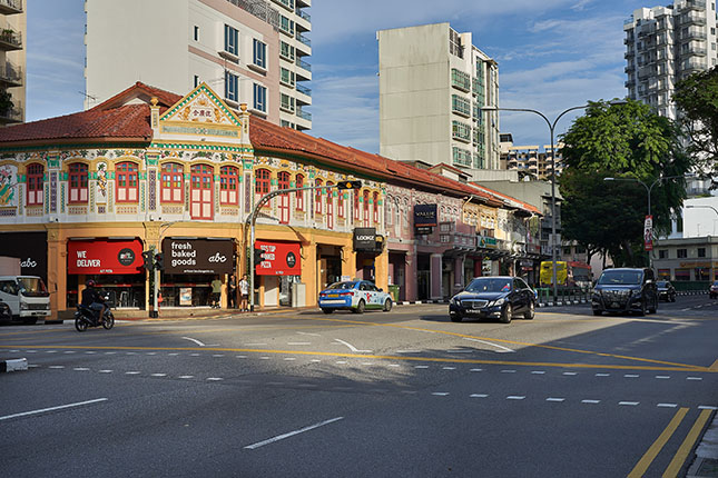
The Balestier Heritage Trail uncovers the rich history of the area as it transformed from a plantation into a precinct filled with shophouses and buildings with diverse architectural styles.
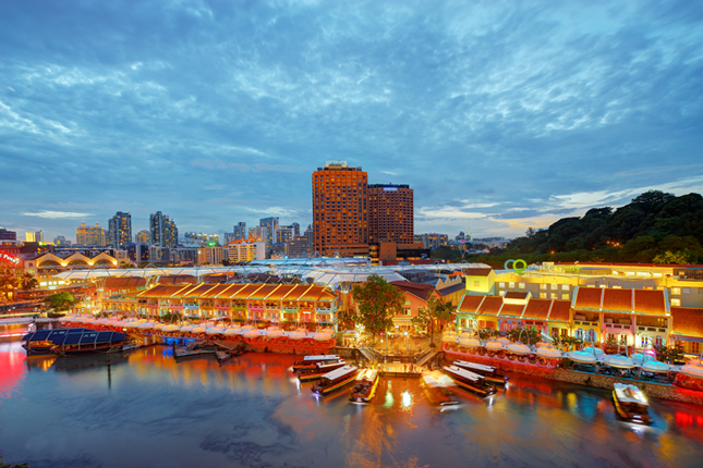
Since 1819, when modern Singapore was founded, the Singapore River has served as an artery of international commerce that drew people from all over the region to work, trade and seek their fortunes on this island. Today, after a major clean-up that ended in 1983, the river continues to bustle with life, flowing past modern skyscrapers and historic buildings.
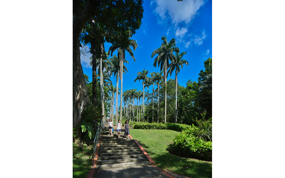
From housing town icons to overlooked heartland gems and scenic outskirts, these three thematic trails bring you on a journey through Ang Mo Kio’s well-known and lesser-known landmarks as well as the lesser-known stories of its communities. Pick a route and start exploring the rich heritage of Ang Mo Kio today!

The Jalan Besar Heritage Trail tells a tale of two former swamps. It traces the urban development of a floodplain that once existed on the north bank of the Rochor River. It also charts the stories of the communities and cultures that sprung up around the muddy basin of Singapore’s longest waterway, the Kallang River.

Did you know that the stretch of Bussorah Street near Masjid Sultan was once known as Kampong Kaji (Pilgrim Village) and the stretch nearer Beach Road was Kampong Tembaga (Copper Village)? Or that Arab Street was called Jawa Koi (Java Street) by the Chinese and pookadai sadakku by the Tamils? Sultan Gate was lined with blacksmiths and Baghdad Street with blacksmiths and traders. Where a car park now stands along Kandahar Street, there was the Pondok Java which housed Javanese migrants and was famed for the Javanese theatre and arts performances it used to host.

The Second World War came to Malaya and Singapore on 8 December 1941, more than two years after it broke out in Europe. After the Fall of Singapore on 15 February 1942, the island was renamed Syonan-To (Light of the South) and it spent the next 3 years and 7 months under the Japanese Occupation (1942–45). The war ended in the Asia-Pacific with the signing of the Instrument of Surrender in Singapore on 12 September 1945.
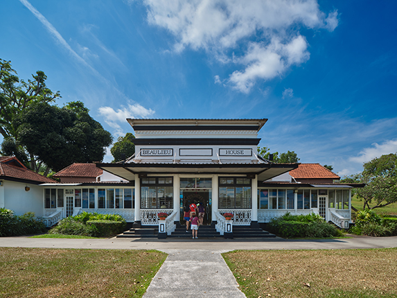
Tucked away at the island’s northern end, Sembawang may be a less familiar neighbourhood compared to historic districts such as Kampong Gelam, Little India and Telok Ayer. Few realise, however, that Sembawang once occupied a central role not just in Singapore but in the British Empire, as a naval base that repaired Royal Navy warships and housed thousands of sailors from Britain’s Far East Fleet. Join us on the Sembawang Heritage Trail to discover the legacies of these communities and learn how they lived, worked and played in this ulu (“remote” in Malay) but enchanting corner of northern Singapore.
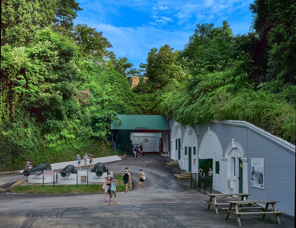
Since the 1970s, Sentosa has been a go-to leisure destination for its beaches and amusement joy-rides, parties, and concerts, as well as theme parks, and attractions. Before its modern incarnation as an island of fun, however, it was known as Pulau Blakang Mati –literally, “Death from the Back Island” in Malay.
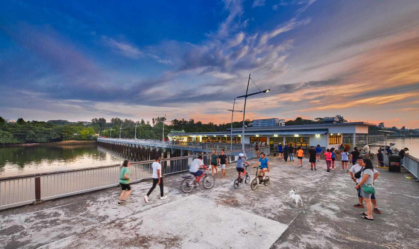
Covering landmarks such as community institutions, military cemeteries and parks, these trail routes are designed to showcase the community history, military legacies and scenic spaces in Woodlands. Select one (or more) of these specially curated trails and start exploring the rich heritage of Woodlands today!
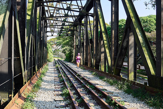
Buildings and institutions that were once part of Bukit Timah’s kampong past can still be found in the area today. This trail features a former railway station as well as houses of faith that were once central to the religious and social lives of kampong residents and now serve the same function for their respective congregations.
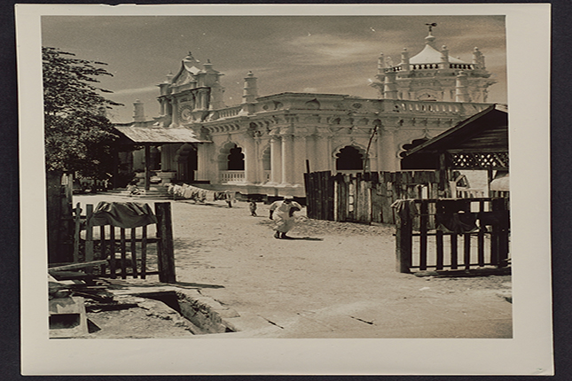
The early 20th century was a defining period that shaped today's Little India as migrants from India, China and Britain settled in the area and established a diversity of trades and institutions. Follow this trail and explore the rich history of the Little India precinct.
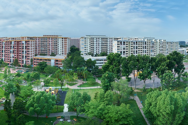
This trail explores some of the town planning innovations introduced by the Housing & Development Board (HDB) as well as sites of everyday heritage that are part and parcel of the Tampines community.