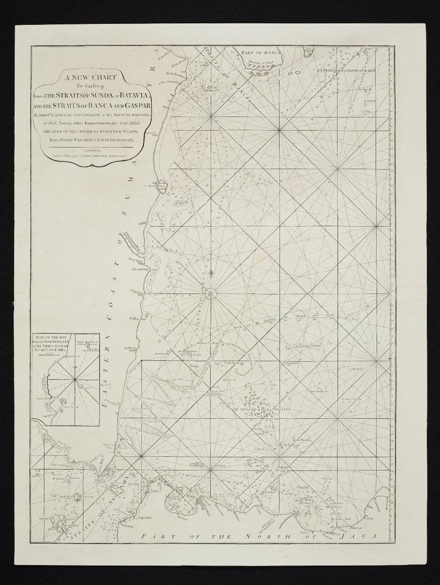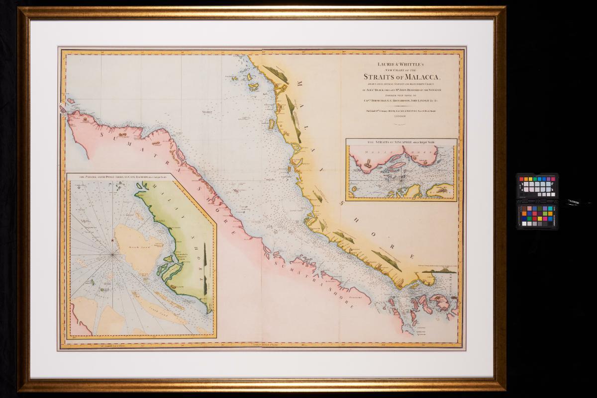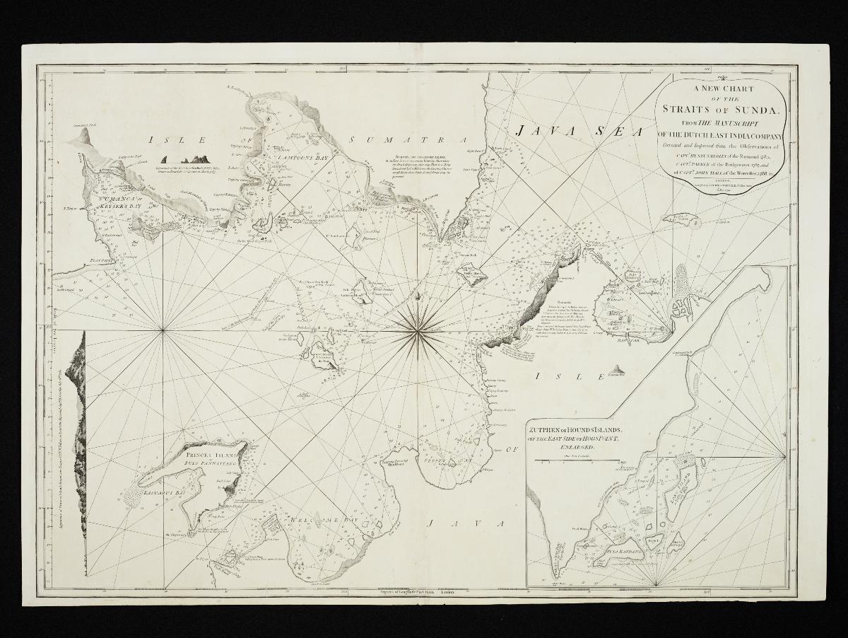
Title
Laurie & Whittle's New Chart of the Straits of Sunda
Year/Period
1794
Material
Technique
Dimension
Image size: 60.5 x 86.8 cm,
Object size: 83.3 x 91.8 cm
Object size: 83.3 x 91.8 cm
Accession No.
2018-00070
Collection of
The Sunda Strait, which lies between Sumatra and Java, was an important shipping route used especially by the Dutch East India Company as a gateway to the Spice Islands. This chart, published by Laurie & Whittle, provides detailed information for navigating this Strait, which was known to be especially challenging. The information contained derives from Dutch sources as well as the observations of three English East Indiaman captains.