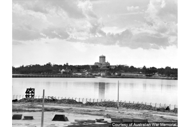
Opened in 1924, the Causeway facilitates travel between Singapore and Malaysia. It was an important military site during World War II. After the last Allied defenders of Malaya crossed the Causeway on 31 January 1942, it was blown up to prevent the Japanese from crossing over into Singapore.
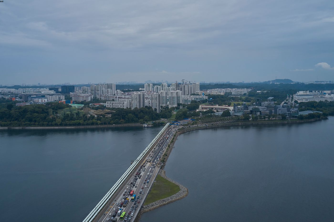
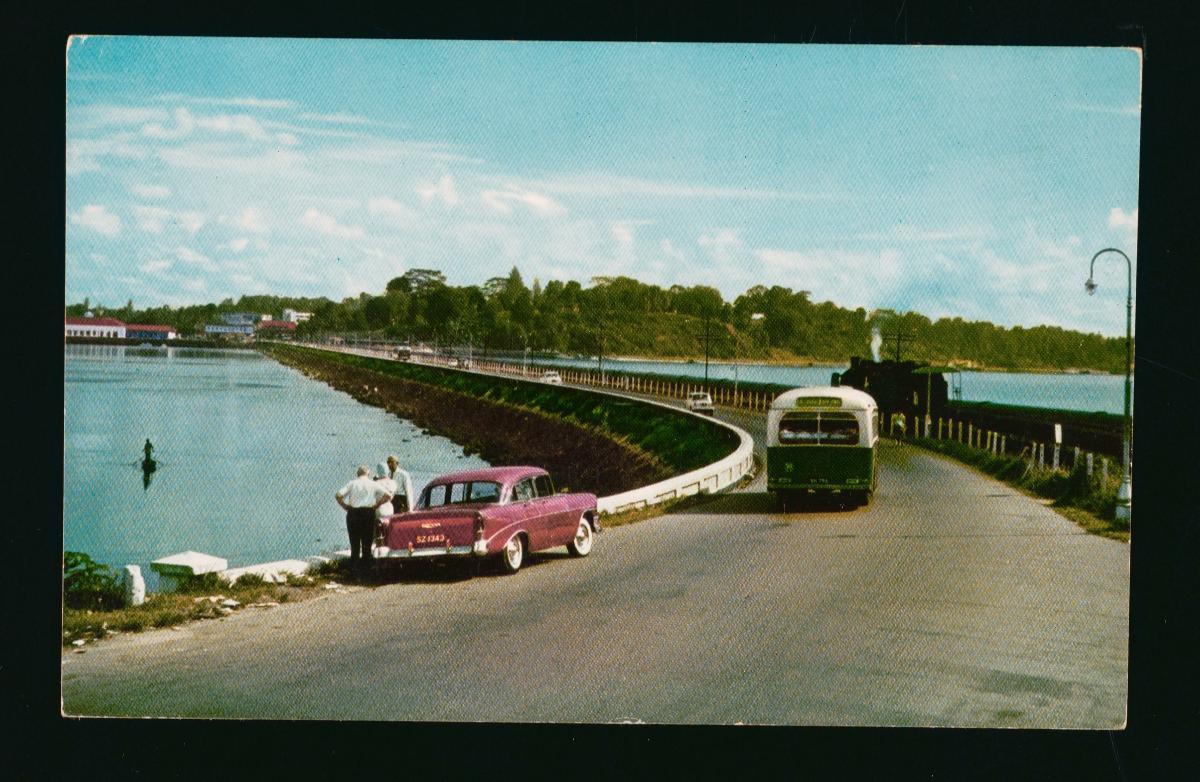
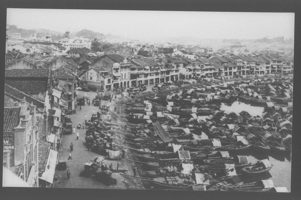
After the war ended, the Causeway was reopened to the public on 15 September 1945. Traffic on the Causeway surged after the war, as thousands of vehicles crossed the strait daily, with even greater numbers during holidays and festive seasons. Traffic jams were already a familiar sight in the 1950s. The only period that was free of congestion was during the early hours of the morning.
To tackle congestion, the Causeway’s roadway was widened in 1964 from 8 metres to 9 metres and a raised footpath was provided for pedestrians. Further expansions were made in 1976.
Other Suggested Short Trail Routes
Explore the Suggested Short Trail Routes:
- Communities of Woodlands, 1.5 hours with public transport (4km)
- Woodlands at War, 2 hours with public transport (9km)
- A Journey through the Woods, 1.5 hours on bike; 2.5 hours on foot with public transport (15km)
Downloads
Woodlands Heritage Trail Booklet
Woodlands Heritage Trail Map - English
Woodlands Heritage Trail Map - Chinese
Woodlands Heritage Trail Map - Malay
Woodlands Heritage Trail Map - Tamil
Woodlands Heritage Trail Markers - Chinese
Woodlands Heritage Trail Markers - Malay
Woodlands Heritage Trail Markers - Tamil