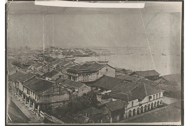
Named after the distinctive red clay of its cliffs that formerly fronted the sea, Tanah Merah (“red cliffs” in Malay) used to function as a strategically located headland both to spot approaching enemies, and as a friendly lookout that sailors could use to navigate their course.
In 1603, a historical event occurred in the waters off Tanah Merah during which a Portuguese trading ship, the Santa Catarina, was captured by the Dutch in an attempt to break the Portuguese trade monopoly along the Straits of Malacca. To justify the seizure of the ship, Dutch lawyer Hugo Grotius wrote two tracts: Mare Liberum (“The Free Sea” in Latin) and De Jure Praedae (“On the Law of Spoils” in Latin), which were instrumental in the development of modern notions of international waters, freedom of navigation and maritime trade as well as legal justifications for war.
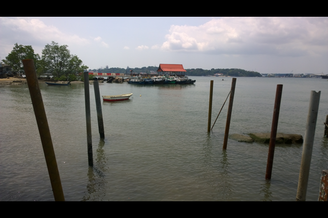
The strategic position of Tanah Merah is also evident in the many pillboxes that used to dot the area. A prominent gunpowder magazine was built and artillery guns installed by the British, with a nearby jetty for boats to bring in supplies and cargo. This magazine was left intact until land reclamation commenced in the 1970s, during which it was dismantled. After World War II, Tanah Merah’s hills were the place from which the very first lorry of earth was removed for land reclamation works along the former coastline, from Bedok all the way to Tanjong Rhu.