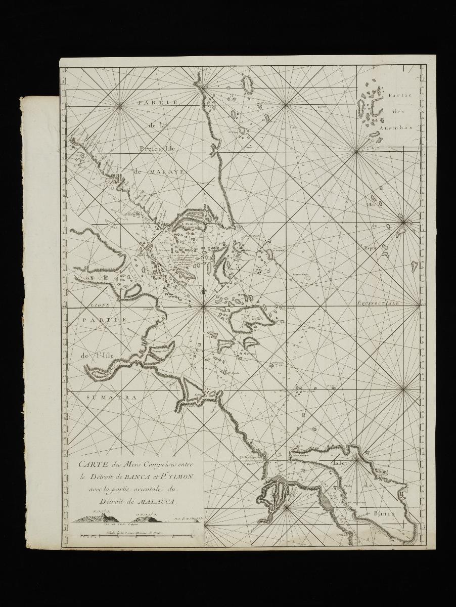
Title
Mannevillette’s New Chart of the Straits of Malacca
Year/Period
1775
Region
Singapore and Southeast Asia
Object Type
Material
Technique
Dimension
Gross measurement: 54.2 x 76.1 cm,
Frame size: 64.3 x 82.6 x 3.5 cm,
Image size: 51.0 x 69.3 cm
Frame size: 64.3 x 82.6 x 3.5 cm,
Image size: 51.0 x 69.3 cm
Accession No.
2021-00232
Collection of
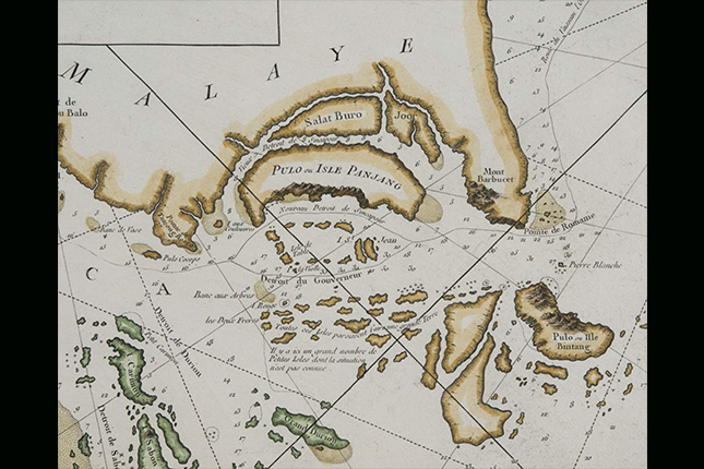
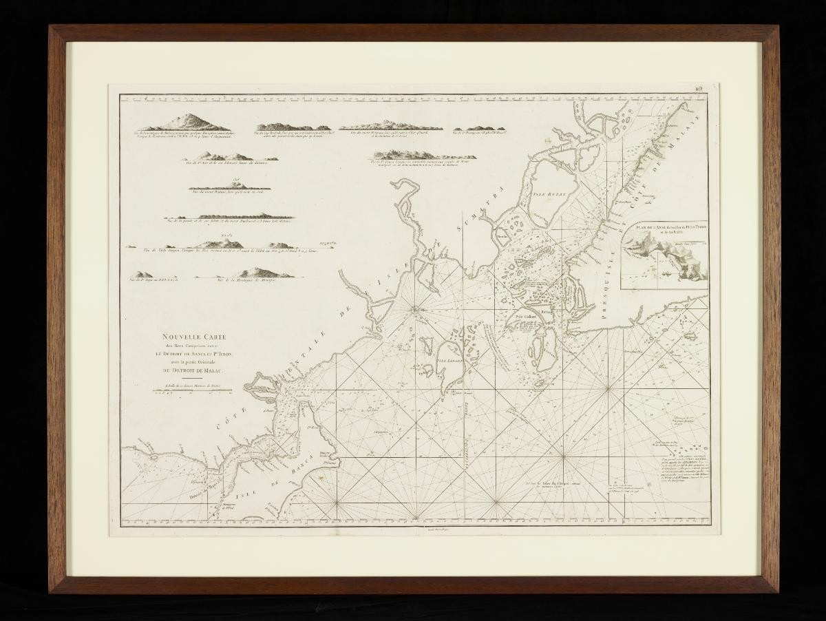
This 1775 chart of the Straits of Malacca was produced based on materials gathering during the travels of Jean Baptiste Nicolas Denis D’Après de Mannevillette, a captain for the French East India Company. It was part of an expanded atlas – Le Neptune Oriental – published by Mannevillette charting much of the known world at that time. Singapore is identified in this map as “I. de Jatana ou de Saincapour” – a reference to the island being named either Singapore or Ujong Tanah, or land’s end.