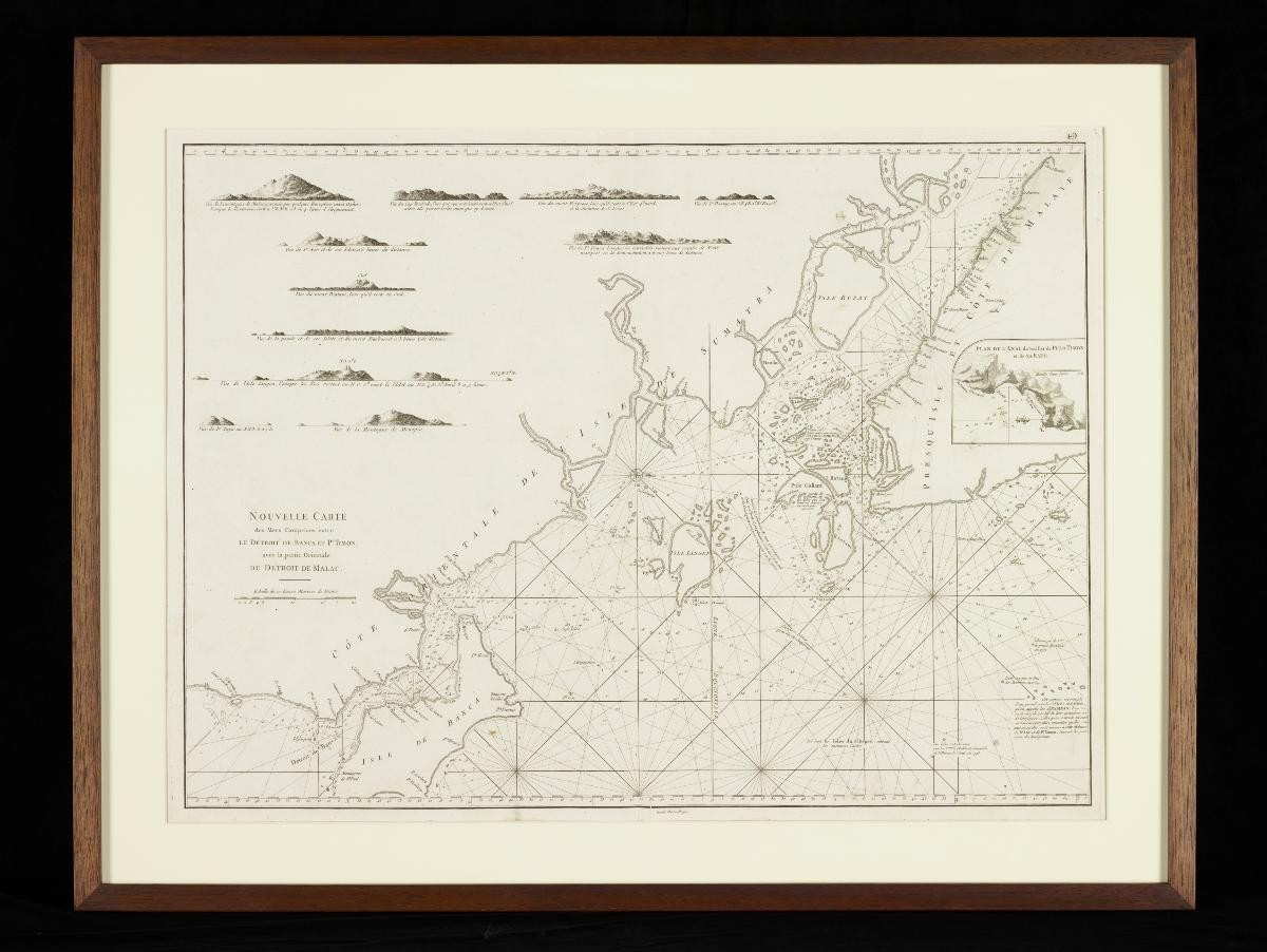
Title
Mannevillette's Chart of the Straits of Banca and Malacca
Year/Period
1745
Region
Singapore and Southeast Asia
Object Type
Material
Technique
Dimension
Object size: 60.4 x 50.0 cm
Accession No.
2023-00512
Collection of
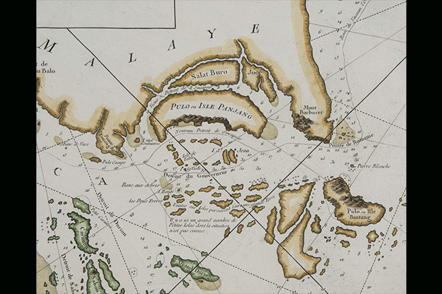
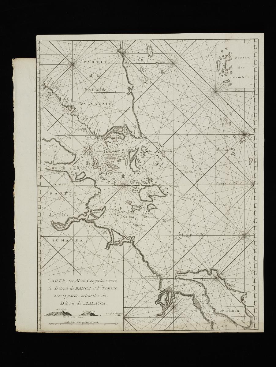
This chart of the the Straits of Banca and Malacca was produced by the French hydrographer Jean-Baptiste Nicolas Denis d'Après de Mannevillette as one of 22 charts compiled for the atlas Le Neptune Oriental, published in 1745. This sea chart atlas was commissioned by the French East India Company, with support from the French Academy of Sciences. Singapore is indicated on this chart as “I. Panjang”, referencing its common Malay name at that time, Pulau Panjang. The Old and New Straits of Singapore are also marked along the north and south coasts of the island.