Title
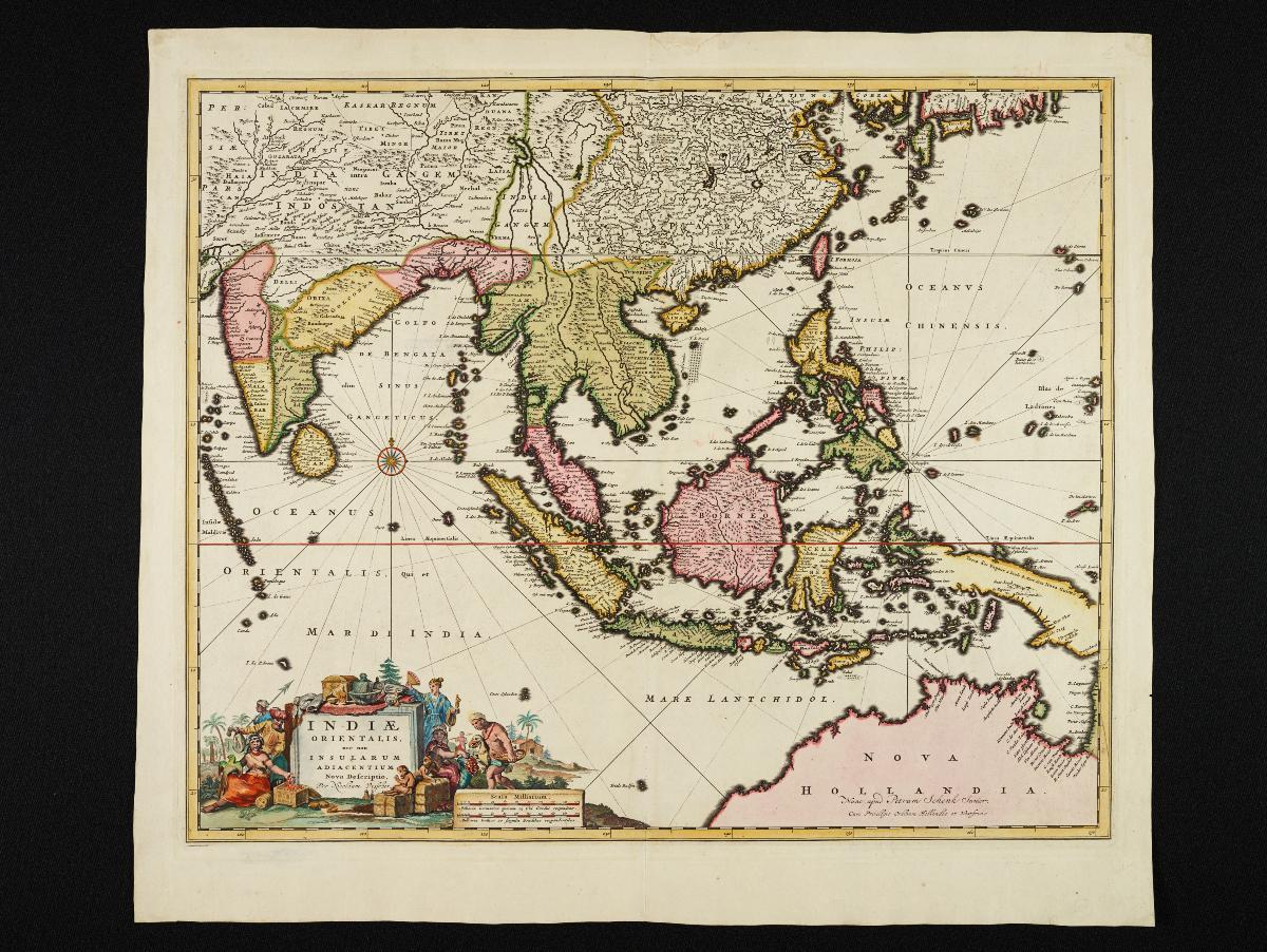
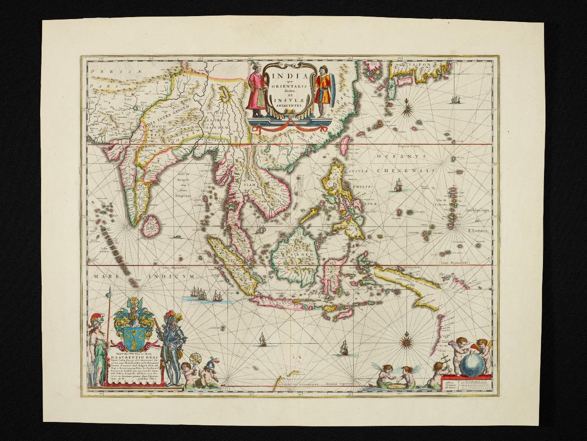
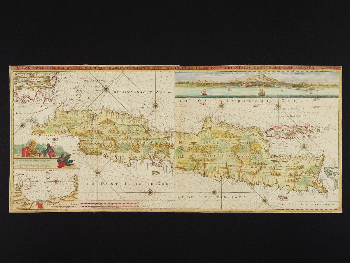
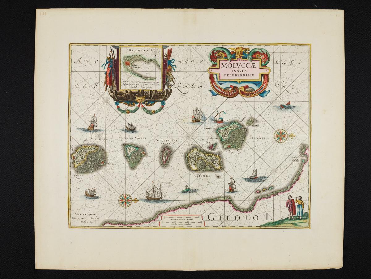
Blaeu's Map of the Moluccas
Year/Period
c1640
Material
Paper
Technique
Hand-coloured copper engraving
Dimension
Image size: 37.0 x 49.0 cm,
Frame size: 52.7 x 62.9 cm
Frame size: 52.7 x 62.9 cm
Accession No.
2018-00064
Collection of
NLB Type
Map
This map of the Moluccas or Spice Islands was first produced by the map engraver Jodocus Hondius and subsequently bought over by cartographer and map publisher Willem Blaeu who published this map. As the first large scale map of the Moluccas, this map shows its various islands, along with pictorial depictions of the relief and settlements on the islands, including that of the early Dutch settlement on Bachian.