Title
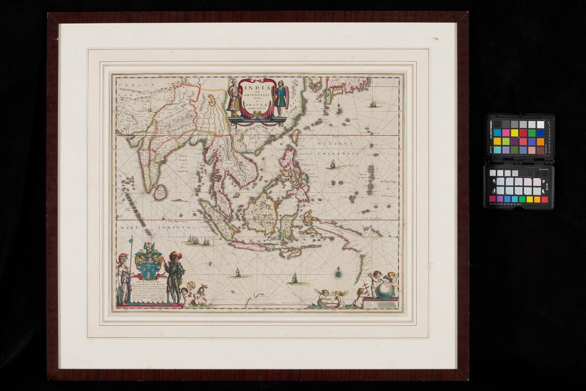
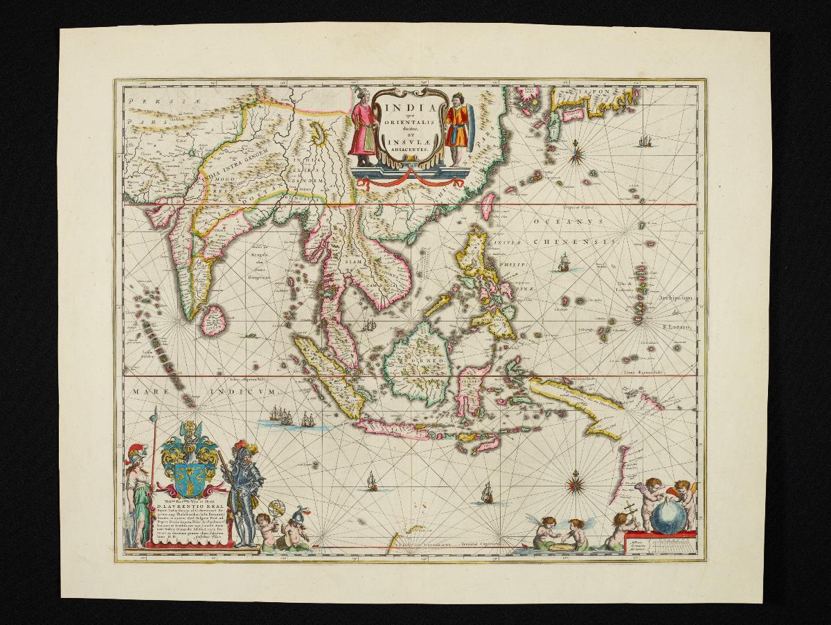
Willem Blaeu's map of the East Indies
Year/Period
c1650
Material
Technique
Dimension
Image size: 41.0 x 48.5 cm,
Object size: 50.5 x 59.5 cm
Object size: 50.5 x 59.5 cm
Accession No.
2018-00072
Collection of
This map was first published in 1635 by the Amsterdam mapmaker Willem Janszoon Blaeu. Constructed from the Mercatgor projection, this map was a significant improvement over previous maps of Southeast Asia, and was published for several decades. This particular map was published by his son Joan Blaeu at around 1650. It contains a dedication on the lower left cartouche to Laurens Real, one of the directors of the Dutch East India Company (VOC) in Amsterdam and former Governor-General of the Dutch East Indies from 1616 to 1619.