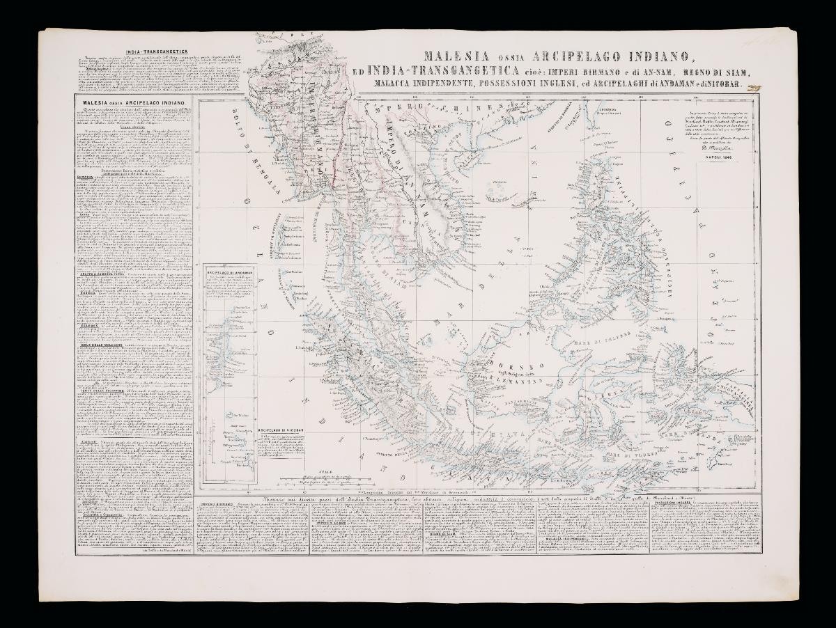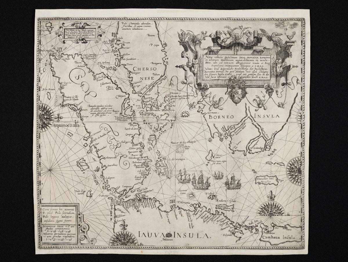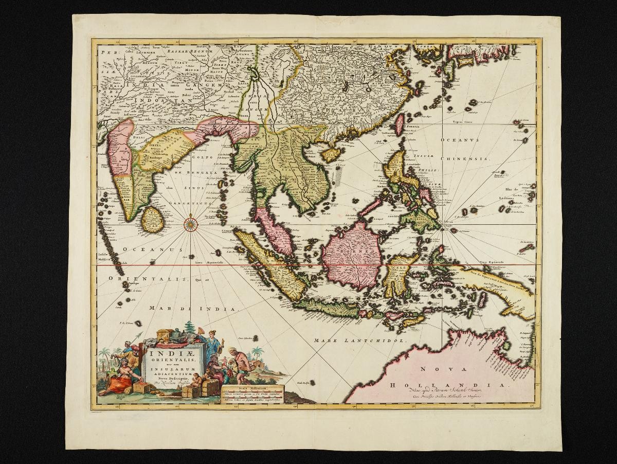
Title
Visscher's Map of Southeast Asia published by Pieter Schenk
Year/Period
Early 18th century
Object Type
Material
Technique
Dimension
Image size: 53.5 x 46.0 cm,
Frame size: 61.5 x 56.0 cm
Frame size: 61.5 x 56.0 cm
Accession No.
2018-00062
Collection of
This map of Southeast Asia by Nicolas Visscher was printed in the early 18th century by Pieter Schenk. It depicts the sphere of influence of the Dutch East India Company, spanning from India to the northern coastline of Australia. The focus, however, is that of the East Indies around which the spice trade was centred.