Title
A comprehensive map of the East Indies, published as four separate maps By Reinier and Josua Ottens
Year/Period
1761
Region
Dutch East Indies/Indonesia
Dimension
Object size: 55.5 x 63.5 cm
Accession No.
2017-00625
Collection of
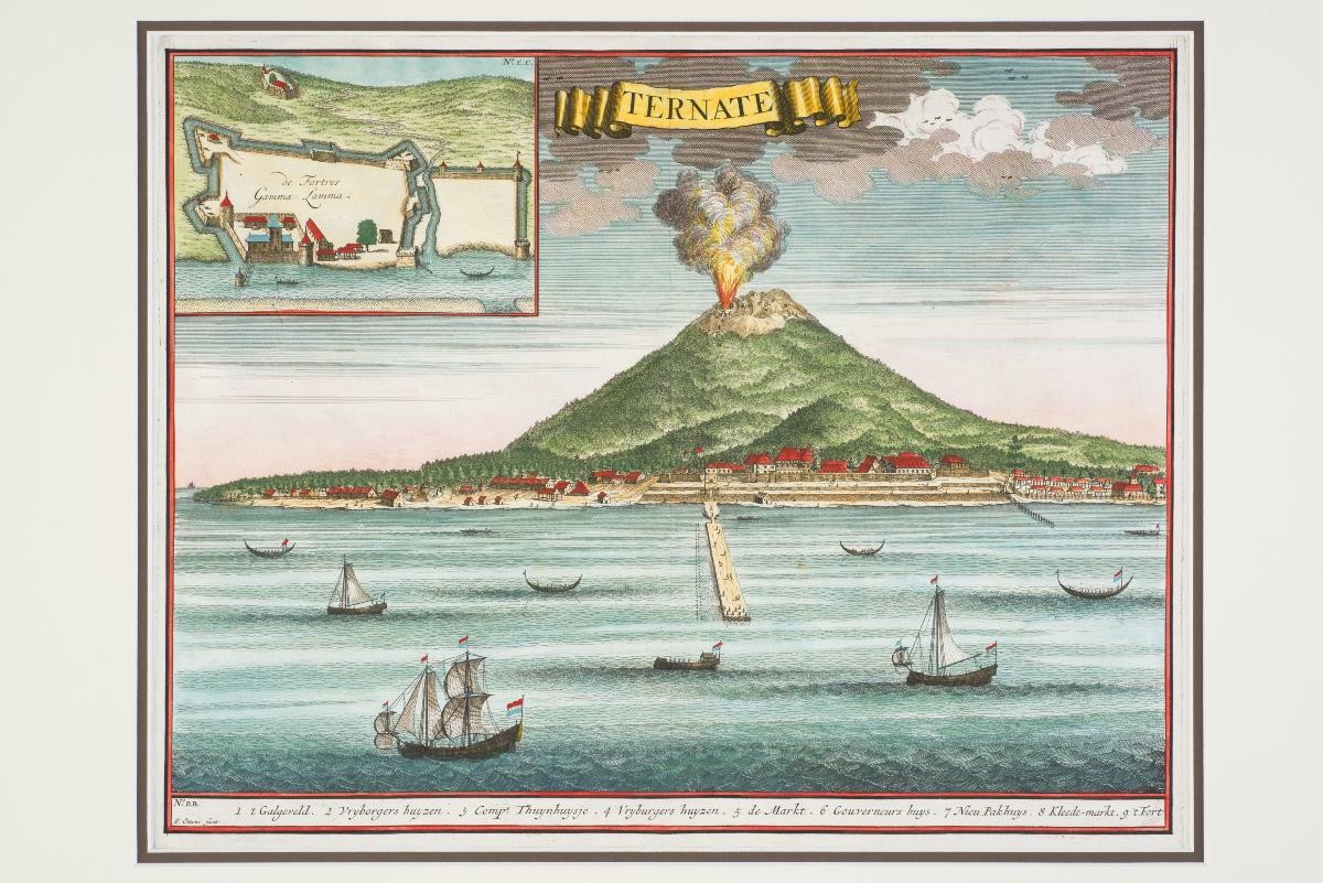
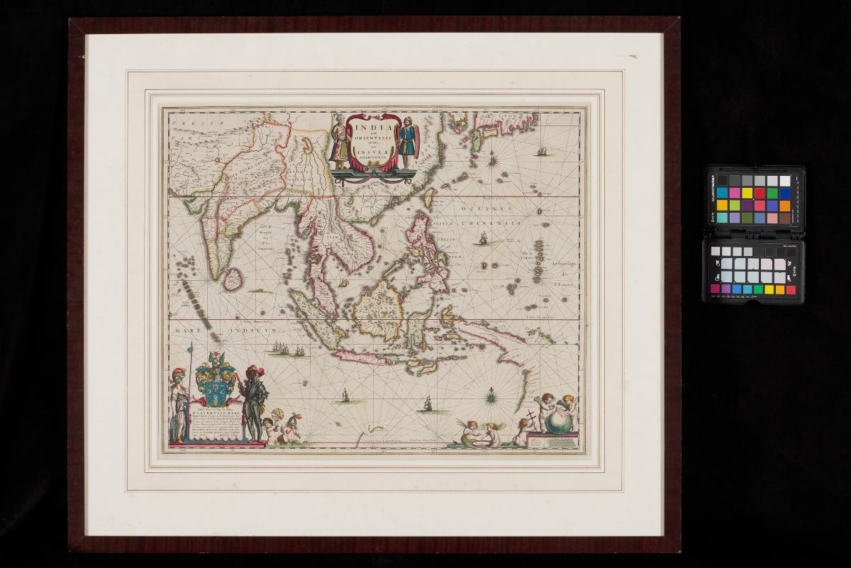
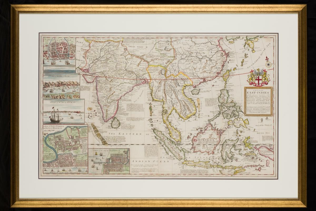
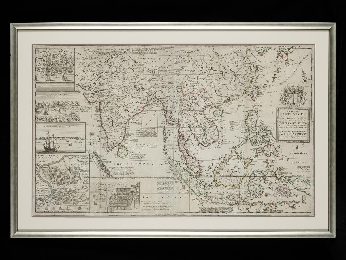
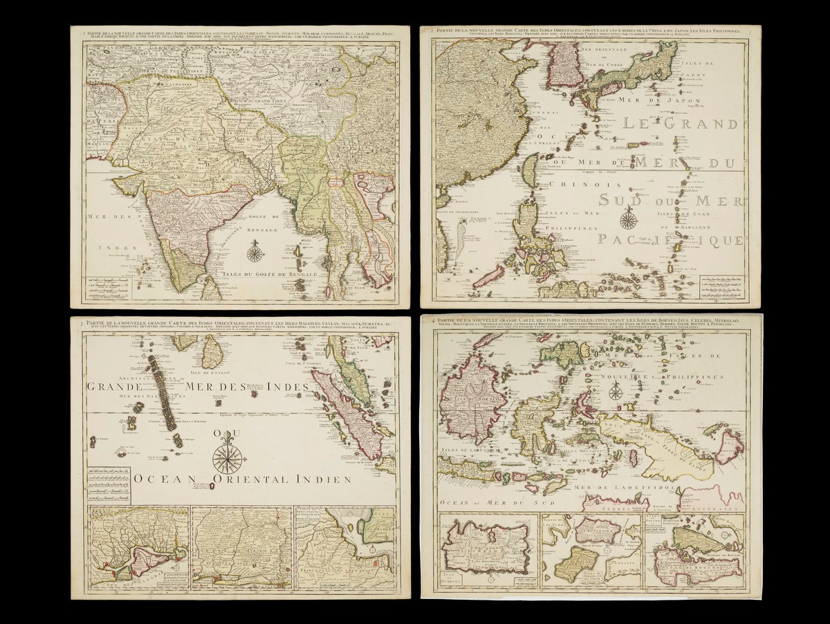
This set of four maps, produced by Reinier and Josua Ottens, together depict the East Indies. The first map extending from India to most of Mainland Southeast Asia and part of China; the second map the east coast of China, South Korea, Japan, the Philippines and the Mariana Islands; the third map shows Malaysia and Singapore, Sumatra, the Maldives and Sri Lanka, with 3 inset maps of Cochin china, part of the Sri Lanka coast and the Maduran Strait; the fourth map covers the Malay archipelago.Coloured by a contemporary hand, the map is a striking example of the 18th century cartographic tradition in Holland.