Title
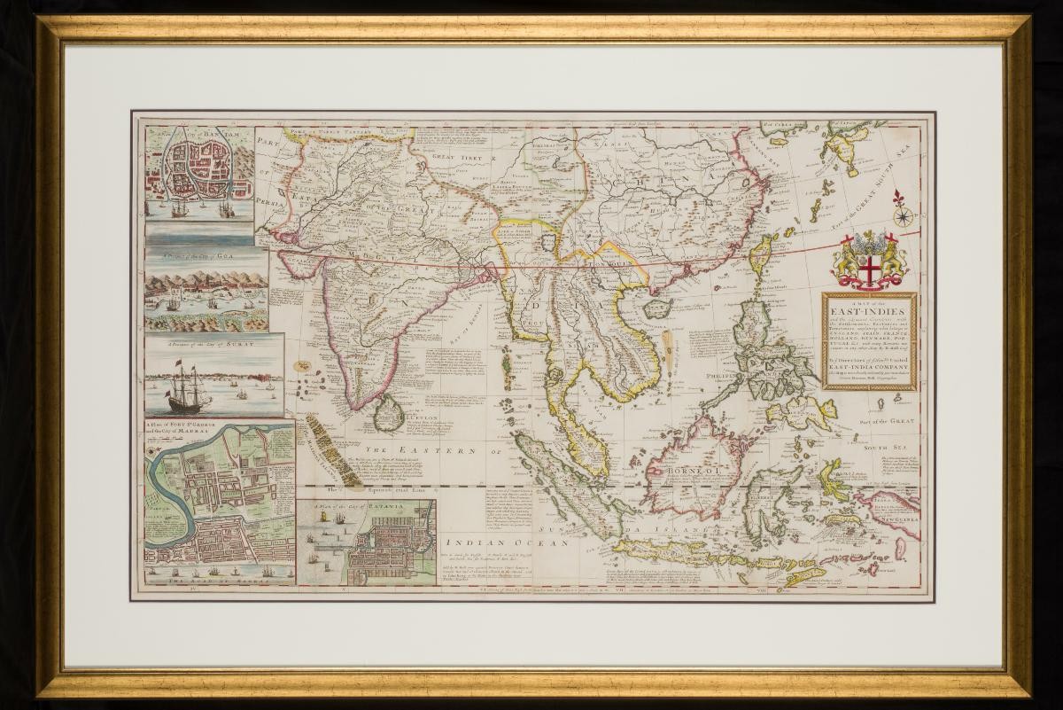
A Map of the East Indies by Herman Moll
Year/Period
Early 18th century
Object Type
Material
Technique
Dimension
Object size: 63 x 103 cm,
Frame size: 88 x 127.5 cm
Frame size: 88 x 127.5 cm
Accession No.
2016-00049
Collection of
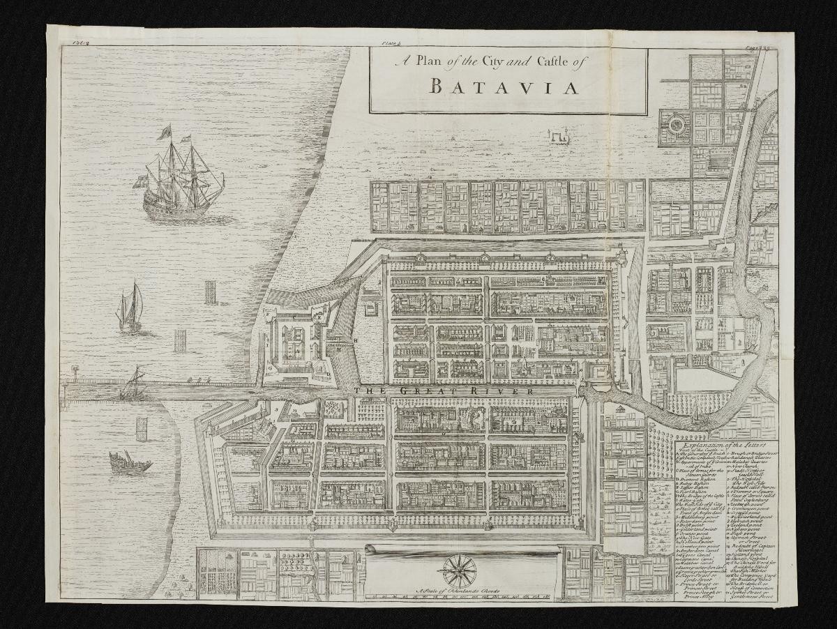
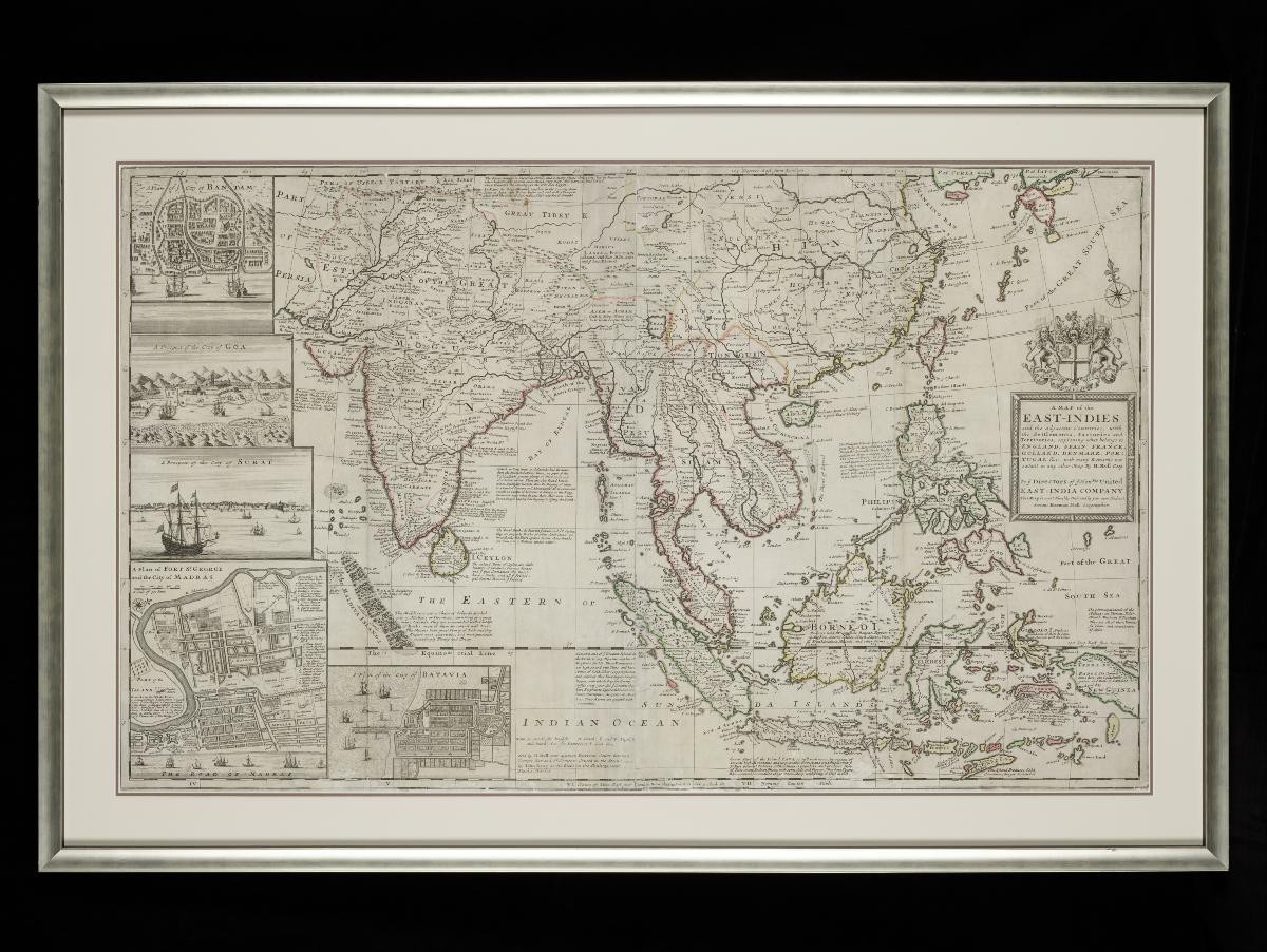
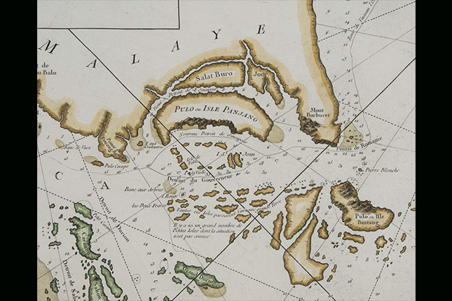
This map by Herman Moll, a Dutch geographer based on London, is dedicated to the Directors of the East India Company. It depicts the East Indies, with detailed captions explaining the territories belonging to England, Spain, France, Holland, Denmark and Portugal. It also features inset plans of the city of Bantam, Fort St. George, Madras and Batavia, as well as inset views of the cities of Goa and Surat.