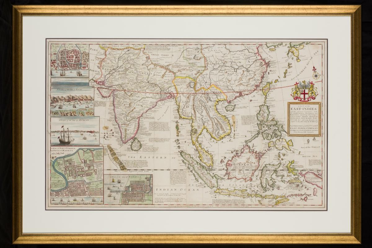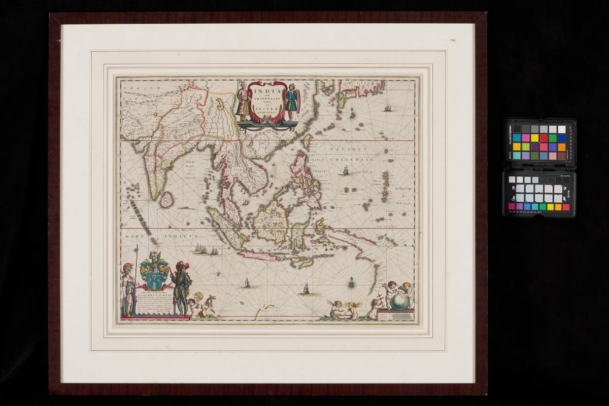
Title
Framed map of the East Indies by Willem & Joan Blaeu
Year/Period
1640
Region
Netherlands
Object Type
Material
Dimension
Frame size: 63.4 x 72.6 x 2.0 cm,
Image size: 59.3 x 68.6 cm
Image size: 59.3 x 68.6 cm
Accession No.
2018-00492
Collection of
Credit Line
Donated by President’s Office
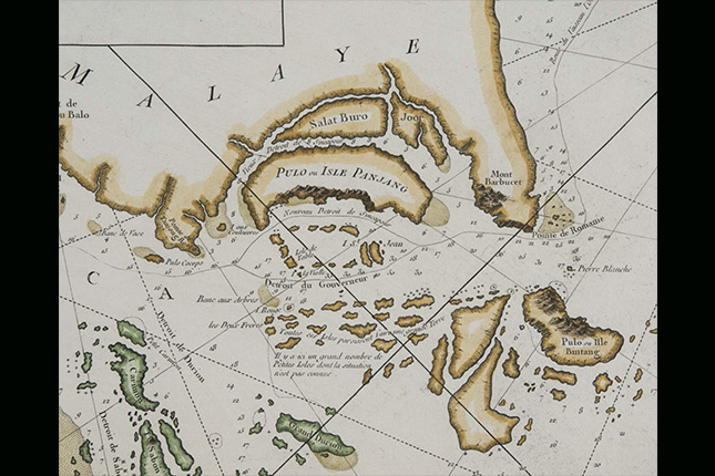
This map was first published in 1635 by the Amsterdam mapmaker Willem Janszoon Blaeu. Constructed from the Mercator projection, this map was a significant improvement over previous maps of Southeast Asia, and was published for several decades. This particular map was published at around 1640. It was presented by Dutch technology company PHILIPS to Prime Minister Goh Chok Tong in October 1996.