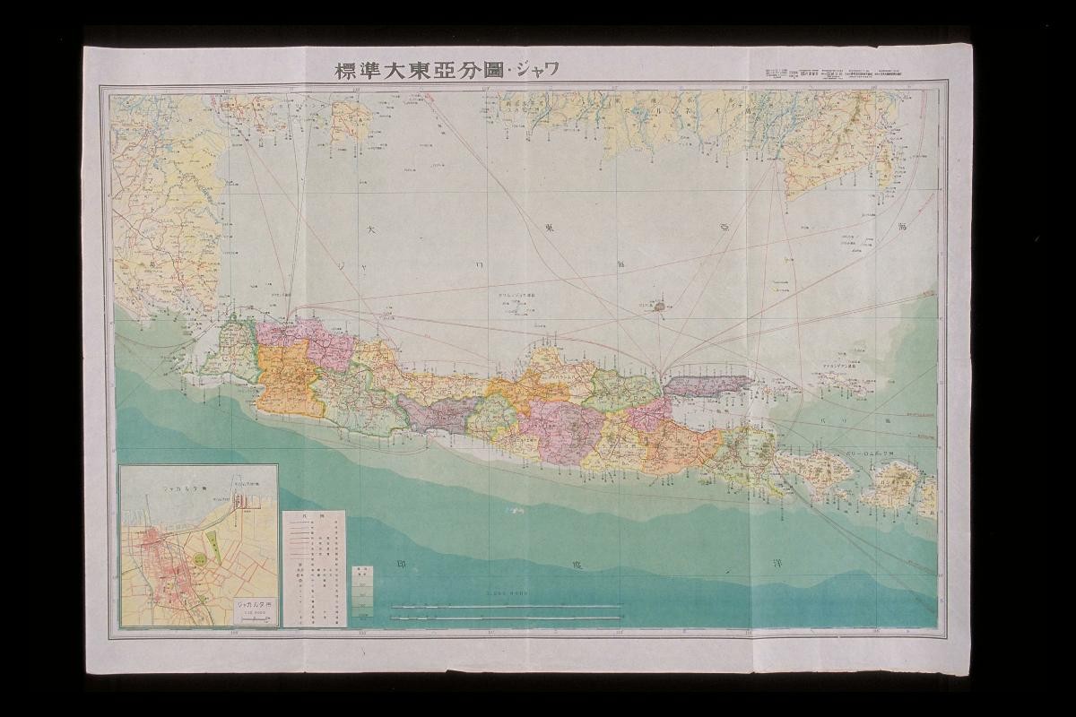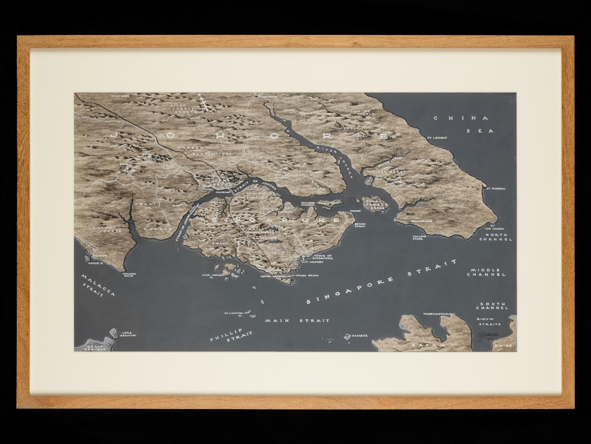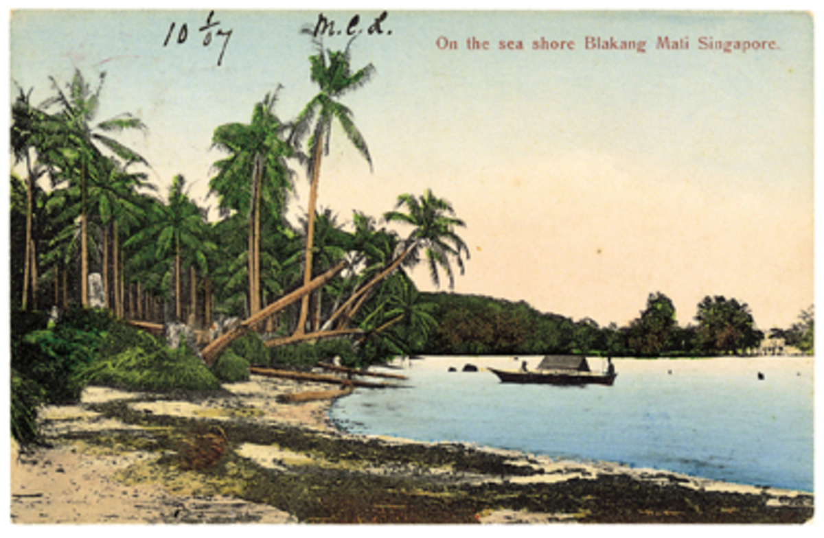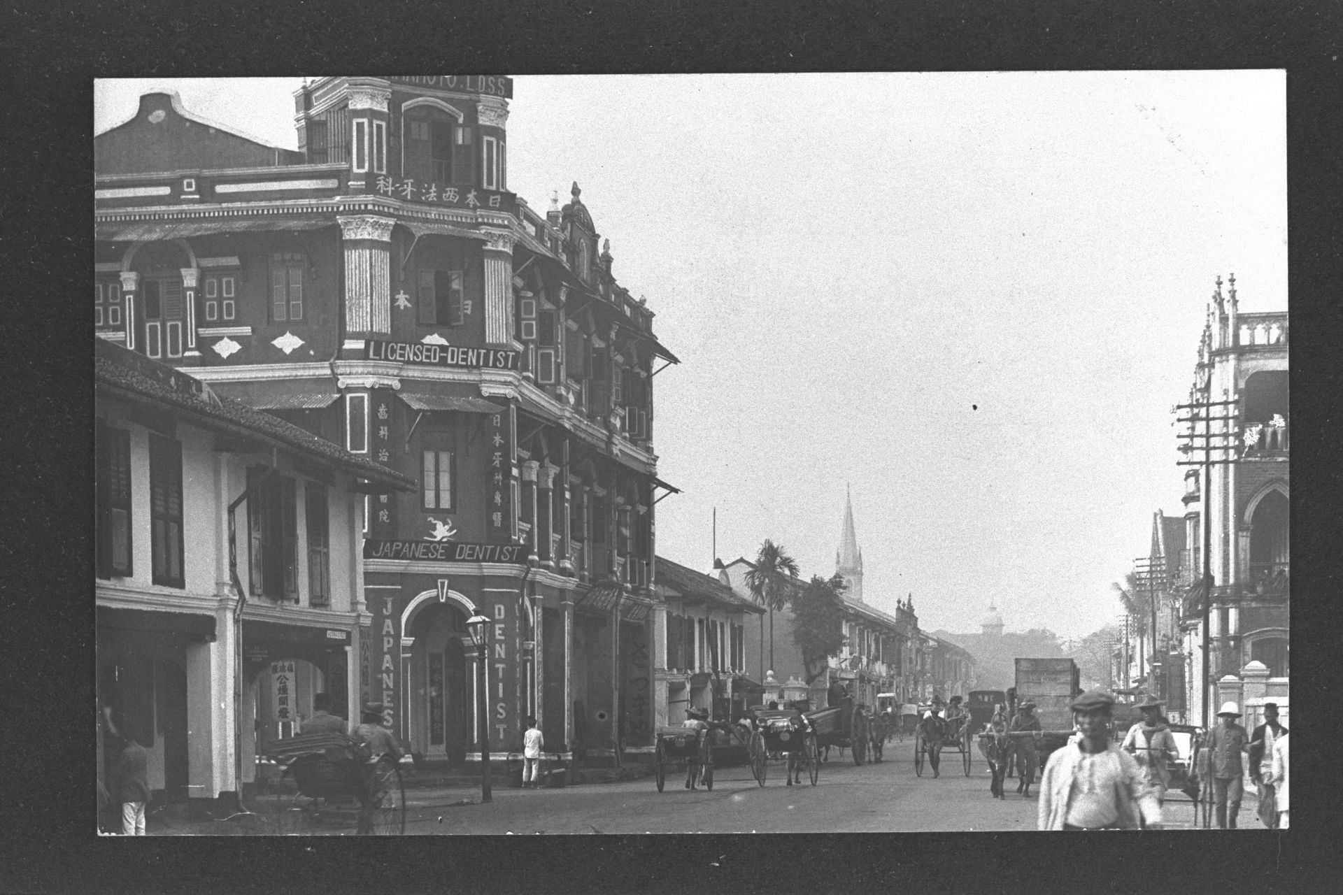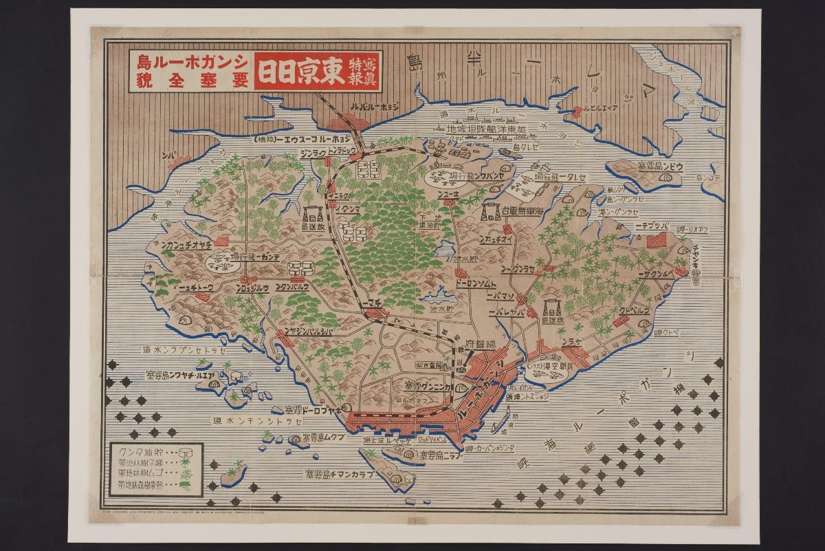
A rare, large coloured pictorial map of Singapore Island during World War II, published by the Tokyo Nichinichi Shimbunsha. It shows resources and military infrastructure including airfield, naval bases, artillery batteries, oil supplies including subterranean, and electrical substations are shown. The waters near the island show mine fields. The railway line from Malaysia and the offshore islands such as Pulau Blakang Mati and Pulau Ubin are also clearly marked out. Even the forests and hills that used to cover much of Singapore are clearly depicted. Tokyo Nichinichi Shimbunsha (Tokyo Daily News Agency), which printed newspapers from 1872 to 1943, published this map on 8 February 1942. Although such material were presented in a manner that heavily favoured Japan, they were also deemed historically important documents.A rare, large coloured pictorial map of Singapore Island during World War II, published by the A rare, large coloured pictorial map of Singapore Island during World War II, published by the Tokyo Nichinichi Shimbunsha. It shows resources and military infrastructure including airfield, naval bases, artillery batteries, oil supplies including subterranean, and electrical substations are shown. The waters near the island show mine fields. The railway line from Malaysia and the offshore islands such as Pulau Blakang Mati and Pulau Ubin are also clearly marked out. Even the forests and hills that used to cover much of Singapore are clearly depicted.Tokyo Nichinichi Shimbunsha (Tokyo Daily News Agency), which printed newspapers from 1872 to 1943, published this map on 8 February 1942. Although such material was presented in a manner that heavily favoured Japan, they are deemed historically important documents.