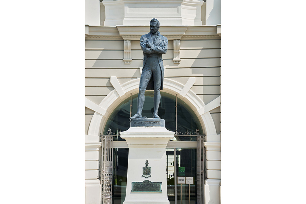
The Raffles Town Plan (1822), drawn up by Sir Stamford Raffles and Lieutenant P. Jackson, together with a Town Planning Committee was aimed at curbing disorderly growth of the settlement.
Using the Singapore River as a natural boundary, functional and ethnic zones were marked out. The North Bank was reserved for government use, the South Bank for finance and commercial use.
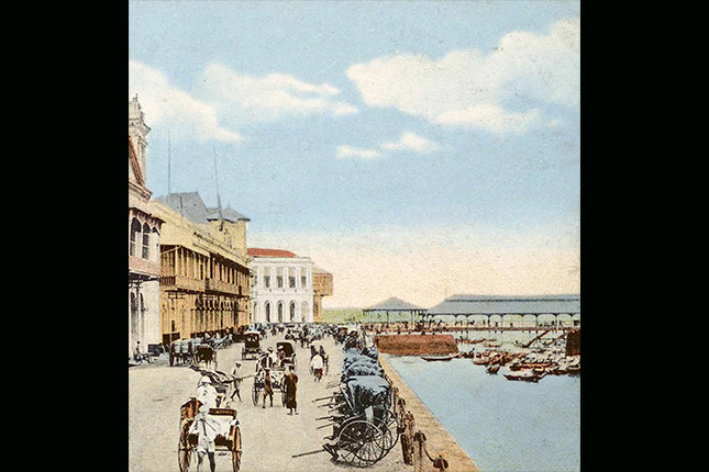
The Plan also included clear instructions on the layout and design of new buildings, shophouses and streets, for example the five-foot walkways and right-angled junctions.Today's Kampong Glam area was allocated to the Malays, Bugis, Javanese and Arabs as the Sultan's palace was located there. Chinese immigrants were initially allocated the Telok Ayer district, but due to the influx of immigrants, Kreta Ayer, Tanjong Pagar and Bukit Pasoh were added. Similarly, Indian immigrants were initially allocated Kampong Chuliah (opposite today's Clarke Quay), but they expanded to Market Street and finally to Serangoon Road. European Town was centred around the Beach Road and Rochor Road vicinities.
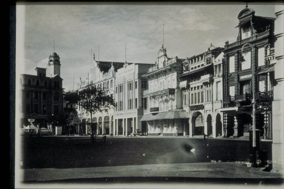
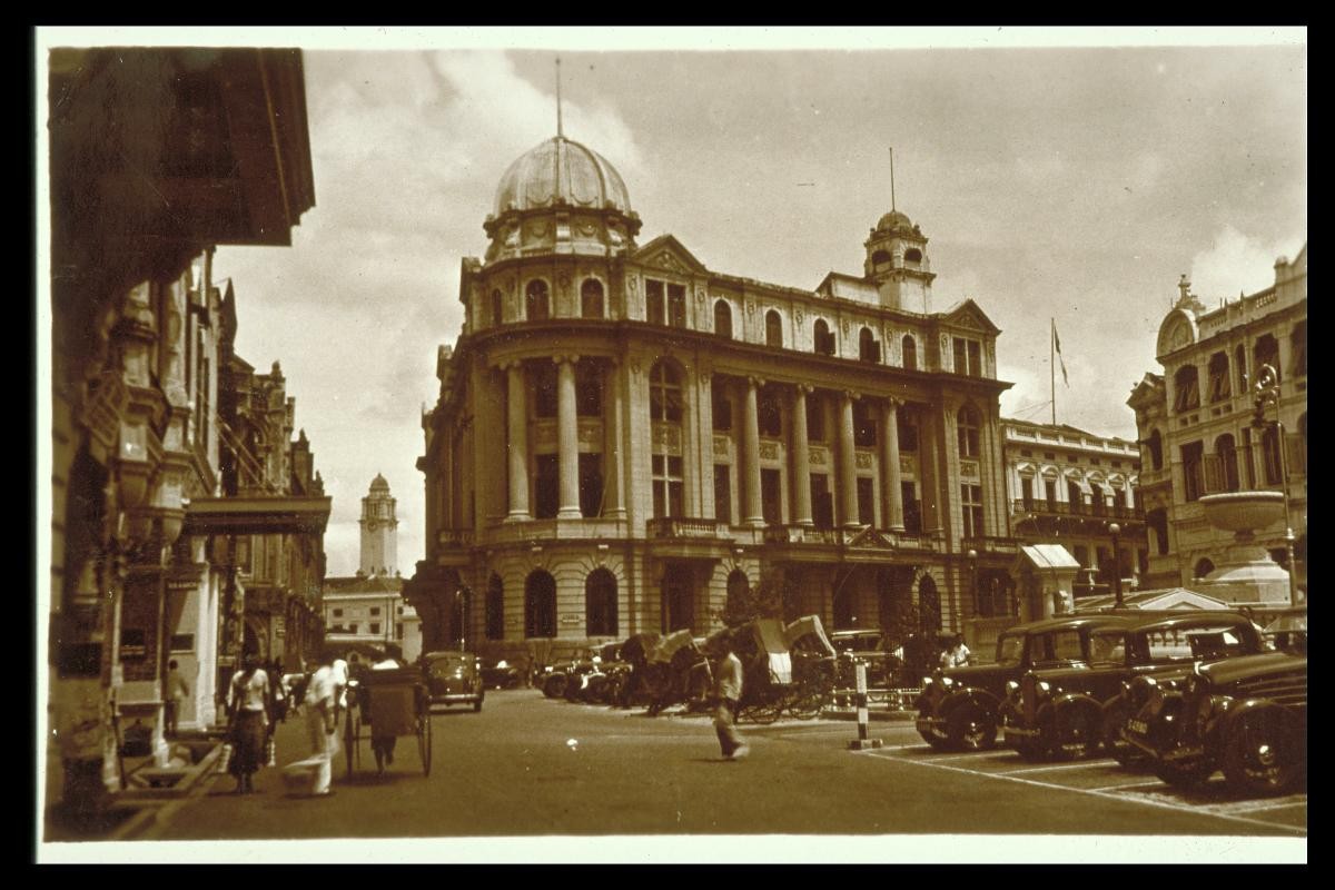
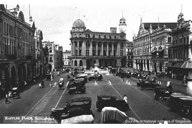
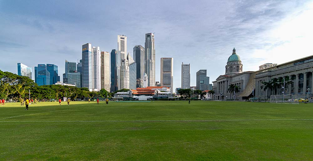
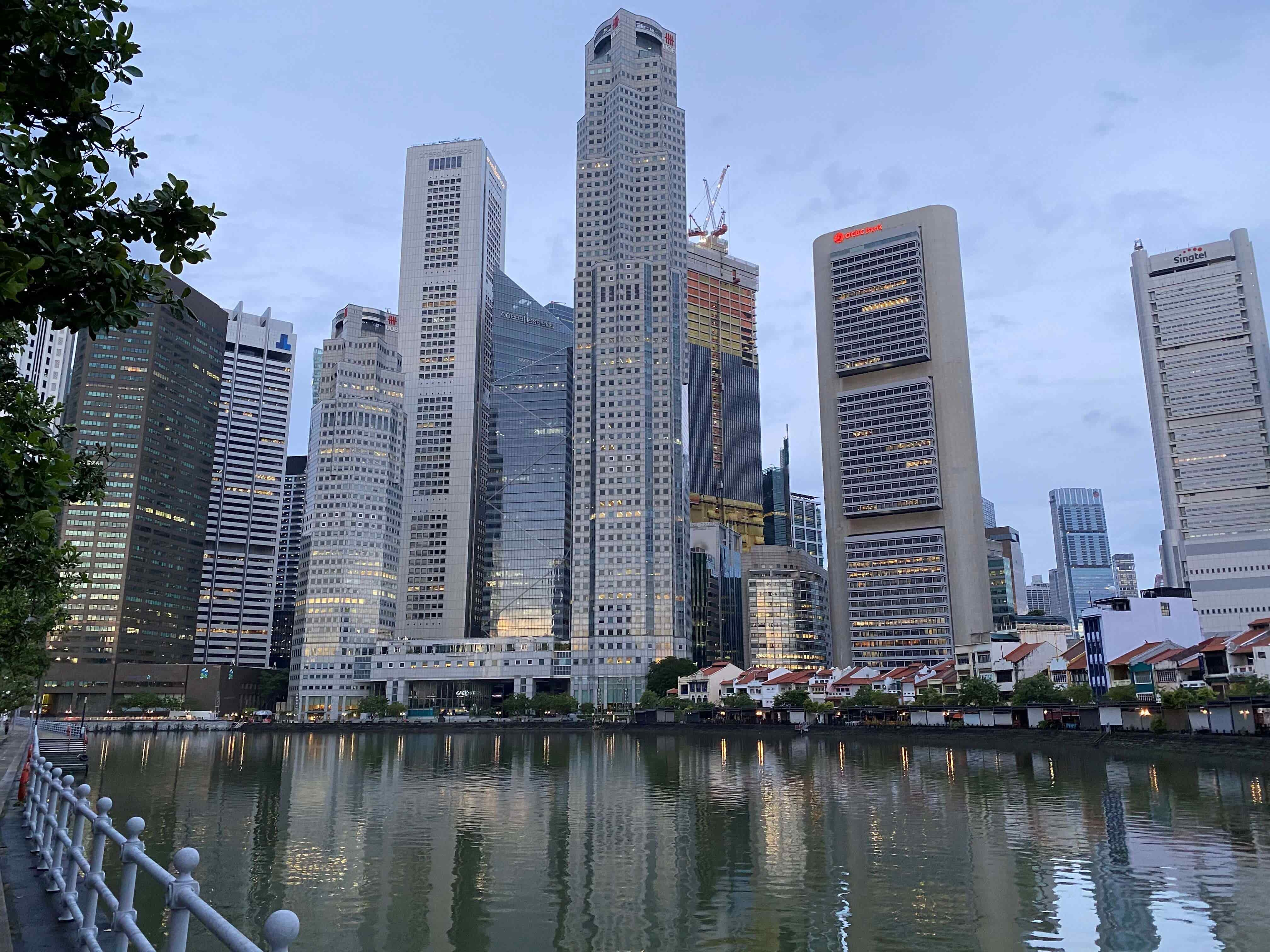
The legacy of Raffles' Town Plan remains today. The North Bank is still the Civic District, while on the South Bank, Raffles Place, once known as Commercial Square, remains the heart of the Central Business District. The various ethnic enclaves are still regarded as cultural centres of the respective ethnic groups, even though many of the residents have long moved out of these areas.