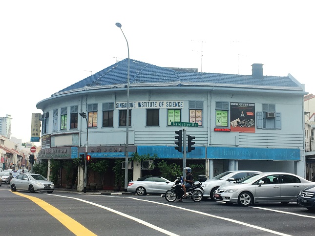
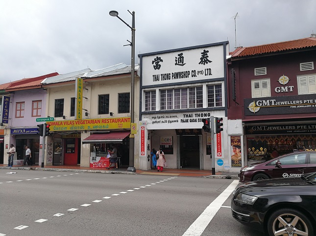
Built in the 1930s, the site is one of many terrace shophouses that still dominate the streetscape of Serangoon Road today. One of the site’s earliest occupants are also its current ones – The Singapore Institute of Science (SIS) moved into the premises in 1952, and still resides there as an institution of education.
The SIS’s inception in 1940 marked a time when science education was introduced into Singapore schools. It was one of the first institutions in Singapore to hold science laboratory classes as part of its wider mandate of providing private science tuition, a service it still provides.
While the SIS occupies the second floor of the site, the building’s first floor enterprise starkly contrasts it.
Sin Peng Lounge has its own rich history, albeit of a different ilk. Known as the ‘Gold Cup Bar & Restaurant,’ or the ‘Gold Cup Mid-Nite Bar’ in the 1970s, it was one of the famous night-spots around the New World Amusement Park. Bars and their waitresses in this area were patronised by local businesses and the working class. Like SIS, Sin Peng Lounge is still situated there.
“The road leading across the island”
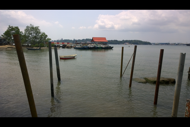
Serangoon Road was dubbed “The road leading across the island” in an 1828 map, which is part of today’s conserved Little India area; gazetted on 7 July 1989. It linked the settlements in town with the Serangoon Harbour located between the mainland island of Pulau Ujong and Pulau Ubin in the Johor Straits, which was an important northeast harbour – it facilitated access to the lucrative lumbering and quarrying businesses in Pulau Ubin and Johor.
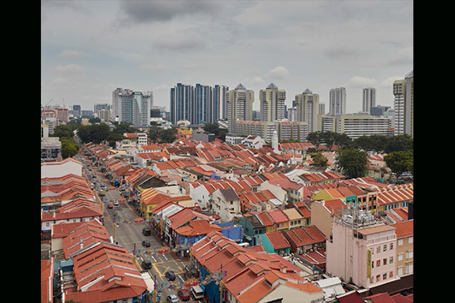
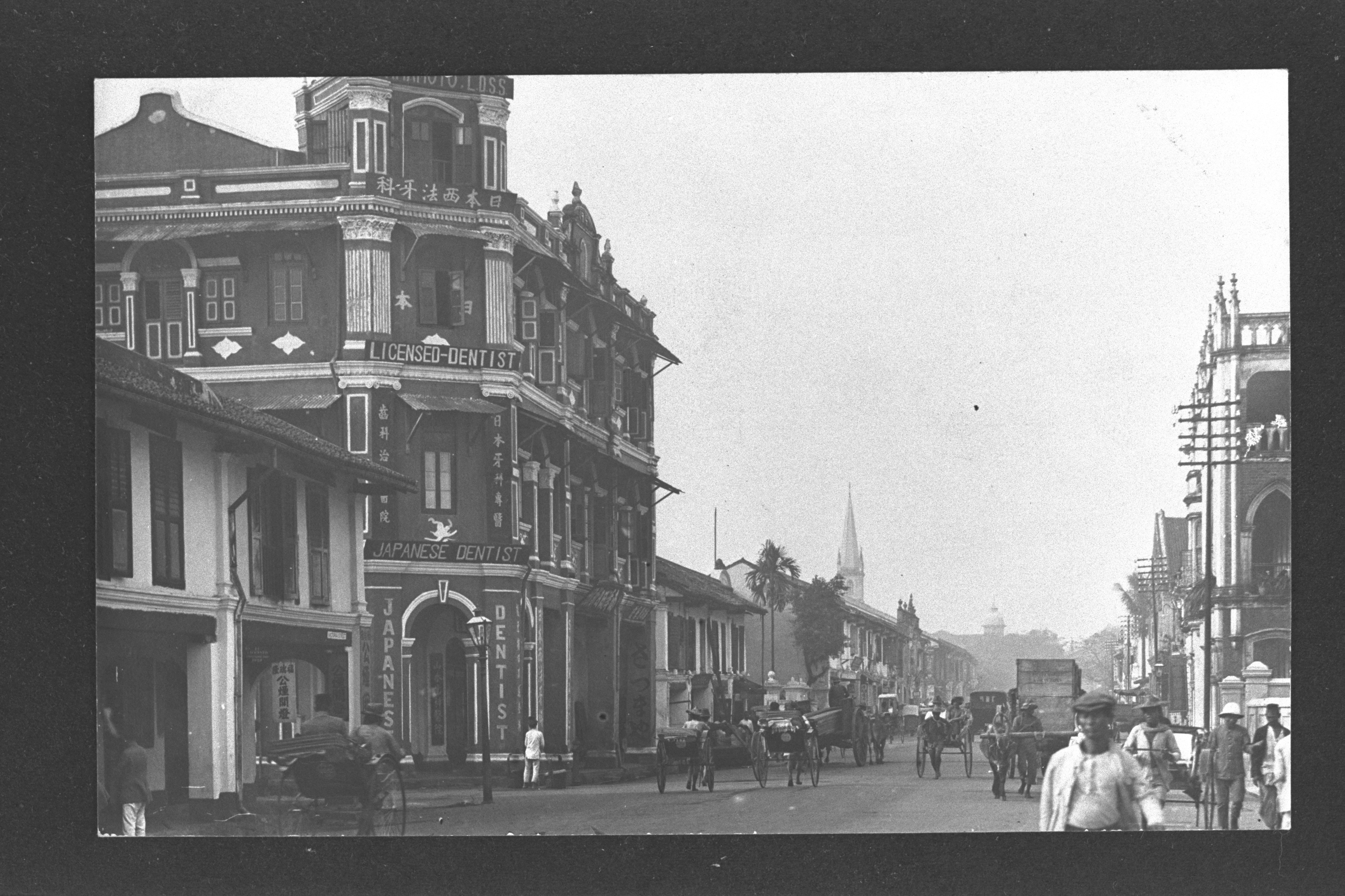
One of the earliest roads built and still one of the most iconic in Singapore, Serangoon Road cuts through Little India, a lively centre of commerce, culture and religion for the Indian community.
Built by brick and cattle
Unlike Kampong Glam and Chinatown, which were areas designated for the Malays and Chinese respectively in the Raffles Town Plan of 1822 (also known as the Jackson Plan), Little India was not officially designated by the colonial government for the Indian Community.
Besides being an industrial area for brick kilns (furnaces where bricks are made), the presence of abundant water and grassland made the area suitable for cattle farming. Thus, it attracted many Indian brick kiln businessmen and cattle farmers to the Serangoon area since the 1820s. Despite the decline of both industries over time, Indian migrants that had come to work there stayed on, and an Indian community soon flourished in the area.
Buildings and sites featured on Roots.SG are part of our efforts to raise awareness of our heritage; a listing on Roots.SG does not imply any form of preservation or conservation status, unless it is mentioned in the article. The information in this article is valid as of August 2019 and is not intended to be an exhaustive history of the site/building.