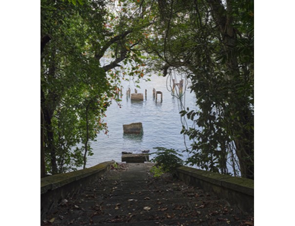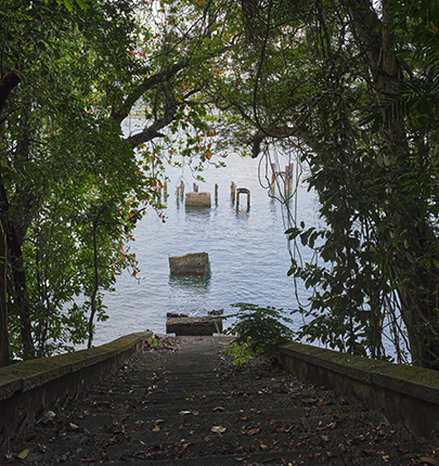
This pier at Siloso Point was built in the late 19th century to service the nearby Fort Siloso. Before roads were laid in this area, the pier was the only access point and was used to transport guns, building materials, equipment and other supplies from mainland Singapore for the construction and maintenance of Fort Siloso.
Located in the west of the island, the pier overlooks the straits around Singapore, traditionally a key passage within global trade routes. The pier was near an area known as Sarang Rimau (“tiger’s den” in Malay) by the Orang Laut, before being named Siloso Point during the colonial era. When sailing ships dominated maritime trade routes, vessels often anchored off Sarang Rimau to hire Orang Laut as navigators and purchase fresh supplies.
Over the years, several jetties and piers were built on Pulau Blakang Mati (the former name of Sentosa). These included those at Fort Serapong, the main jetty on the northern coast, and a pier for a 19th century dynamite store on the south-eastern coast.
The main jetty north of the island, near the former Kuching Creek, became the landing stage for vessels ferrying passengers between Blakang Mati and Jardine Steps (now HarbourFront) on the mainland. Over time, Siloso Pier was used less frequently, and became a gathering and fishing spot for soldiers and their families, as well as kampong residents.
Explore the Suggested Short Trail Routes:
-
Kampong and Barracks, 2 hours with public transport, 3km
-
Forts, 2 hours on foot, 4km
-
Memories of Sentosa, 1 hour on foot, 2.5km
Downloads