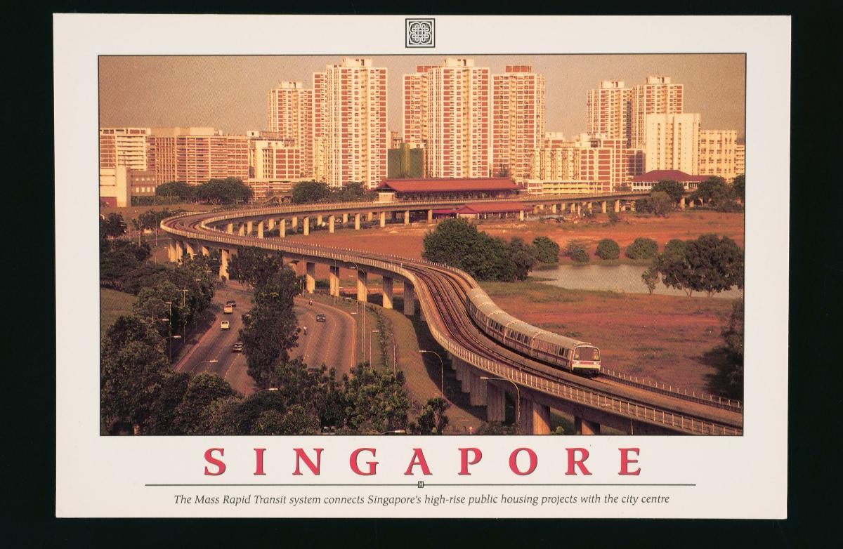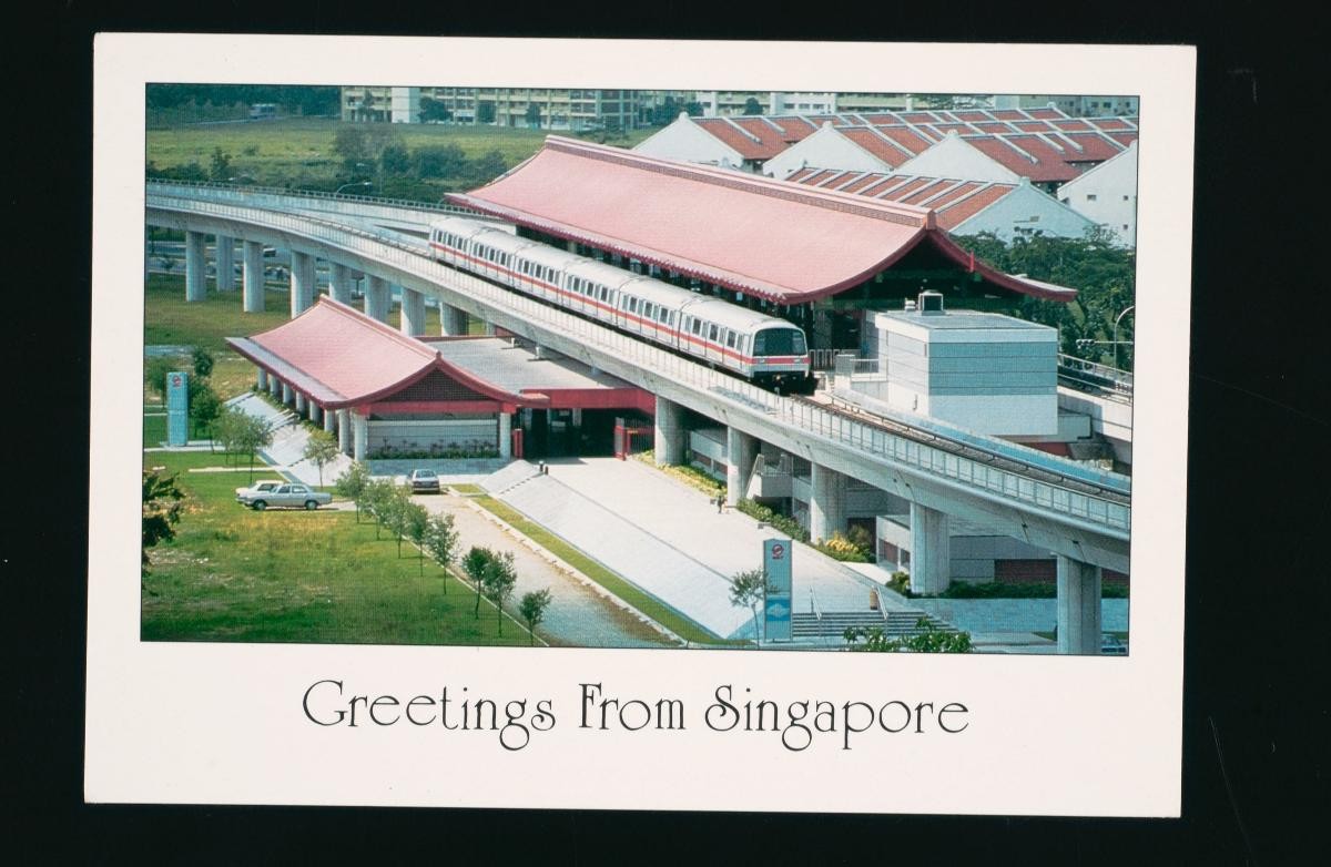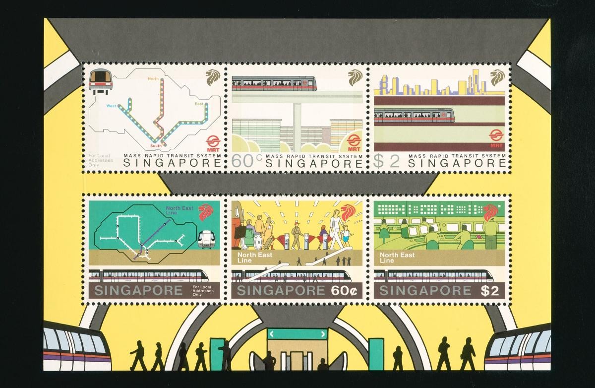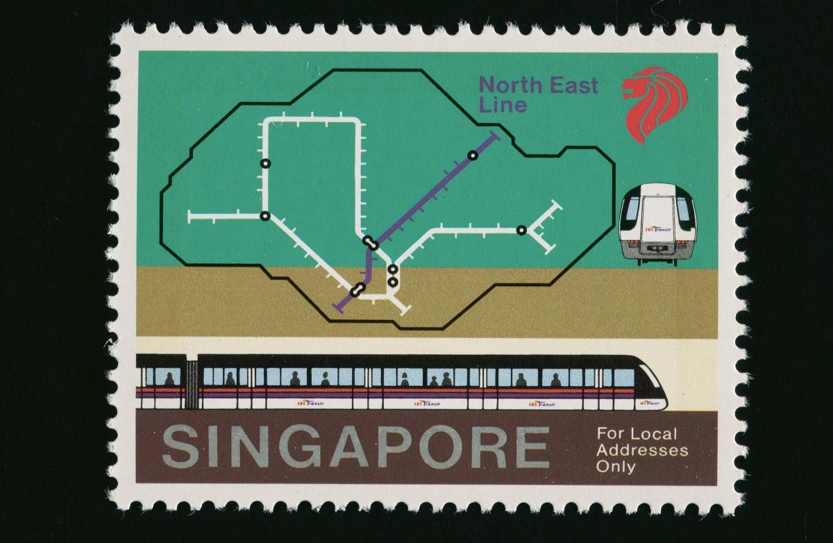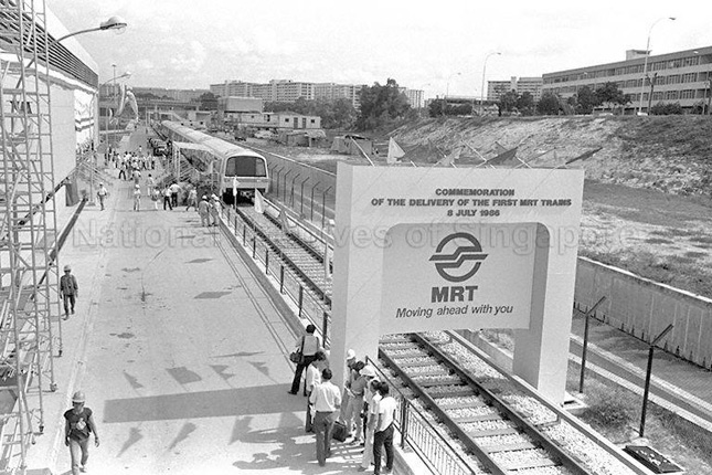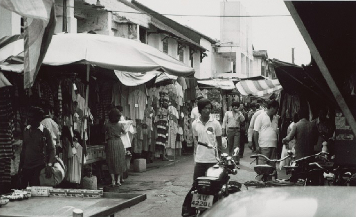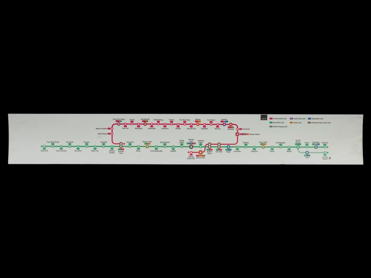
This is a route map of the North-South and East-West lines from a Siemens C651 train, which was introduced in 1995 as the second generation of rolling stock on the Singapore Mass Rapid Transit (MRT) network. Built by Siemens in Austria, these carriages were characterised by their full white livery with a thick red strip running horizontally across the exterior.Singapore's MRT network was first conceptualised in 1967, when the four-year State and City Planning Study was jointly carried out by the Singapore government and the United Nations Development Programme. It was the subject of budget debates in the 1980s, when then-Minister for Communications Ong Teng Cheong had to defend the proposal for the S$5 billion needed for the rail network. The first section of the North-South line, from Yio Chu Kang to Toa Payoh, opened in November 1987. Since then, the MRT network has expanded progressively, with a system length of 230 km, 134 stations, and 6 lines as of mid-2024. With an annual ridership of almost 1.2 billion in 2019 (the number of unique journeys on a metro system per year), it ranks within the top 20 most utilised metro systems in the world alongside the São Paulo Metro, the Toei Subway in Tokyo, and the London Underground.