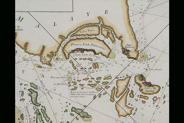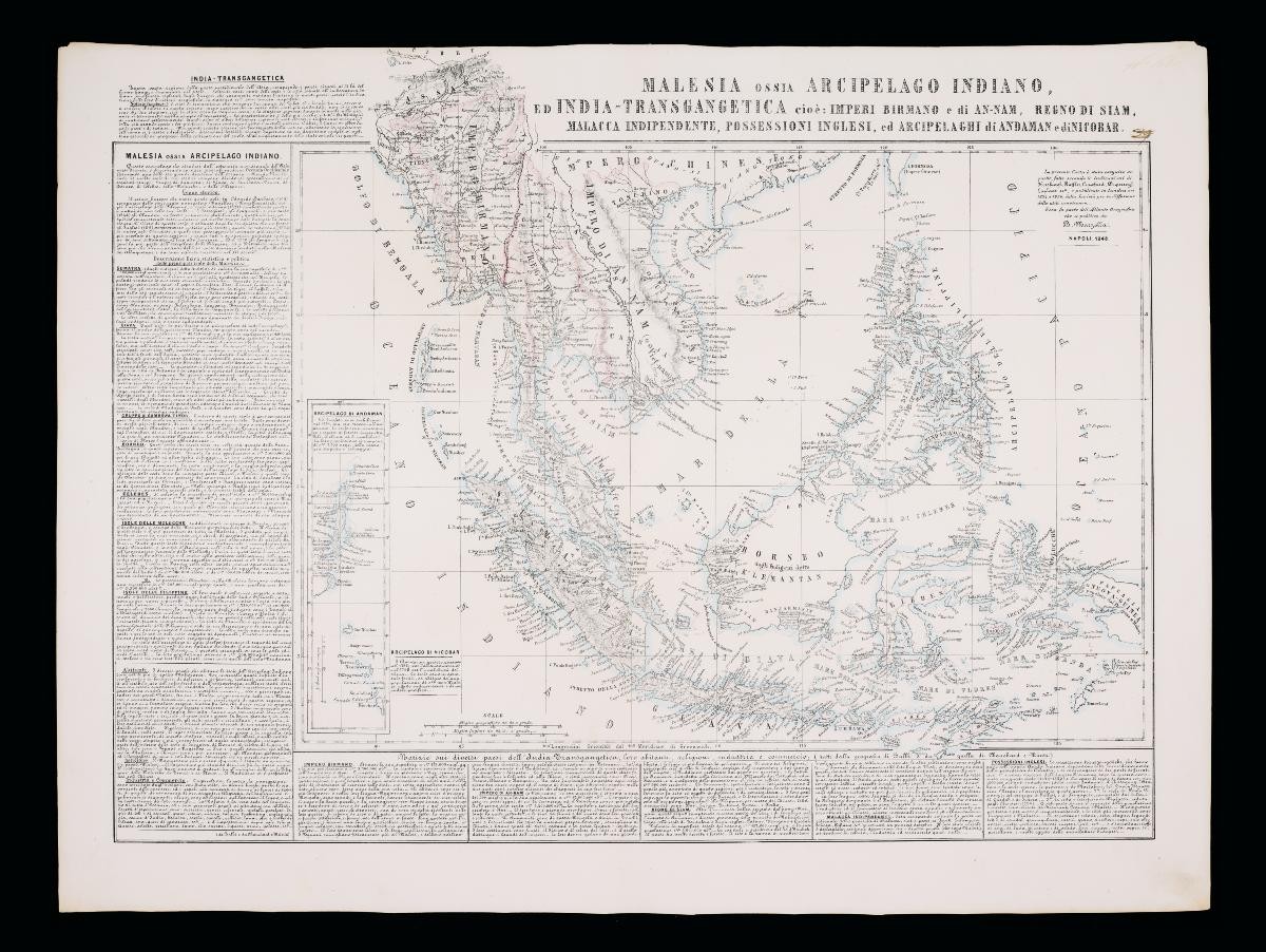
This atlas map of Southeast Asia by Benedetto Marzolla not only features detailed topographical detail of the region, but also extensive entries for various ports and towns. Singapore is described as part of British possessions alongside Penang, with brief remarks of its population makeup, as well as the types of goods exported and imported. Notable exports include teak, sandalwood, shellac and precious stones; whereas notable imports included paper, opium, tea, porcelain and various Europe-manufactured products.Marzolla was an Italian cartographer, geographer, topographer and lithographer active in mid-19th century Naples. Although he worked with the Royal Topographical Office for most of his life, he eventually set up Stabilimento Geografico Strada San Carlo, a private litho-cartography office aimed at "reproducing notable and important maps for the purpose of science". Marzolla's atlas maps were considered revolutionary for blending both geographical drawings wirh physical and anthropological descriptions, which some have argued anticipated the emergence of present-day Geographical Information System (GIS).