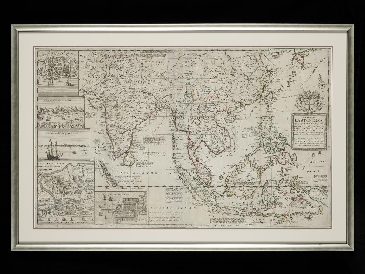
Frame size: 77.0 x 117.0 cm,
Frame size: 77.0 x 117.0 x 3.7 cm,
Image size: 61.0 x 101.0 cm
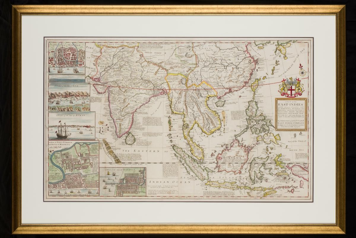
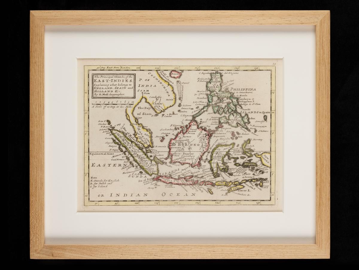
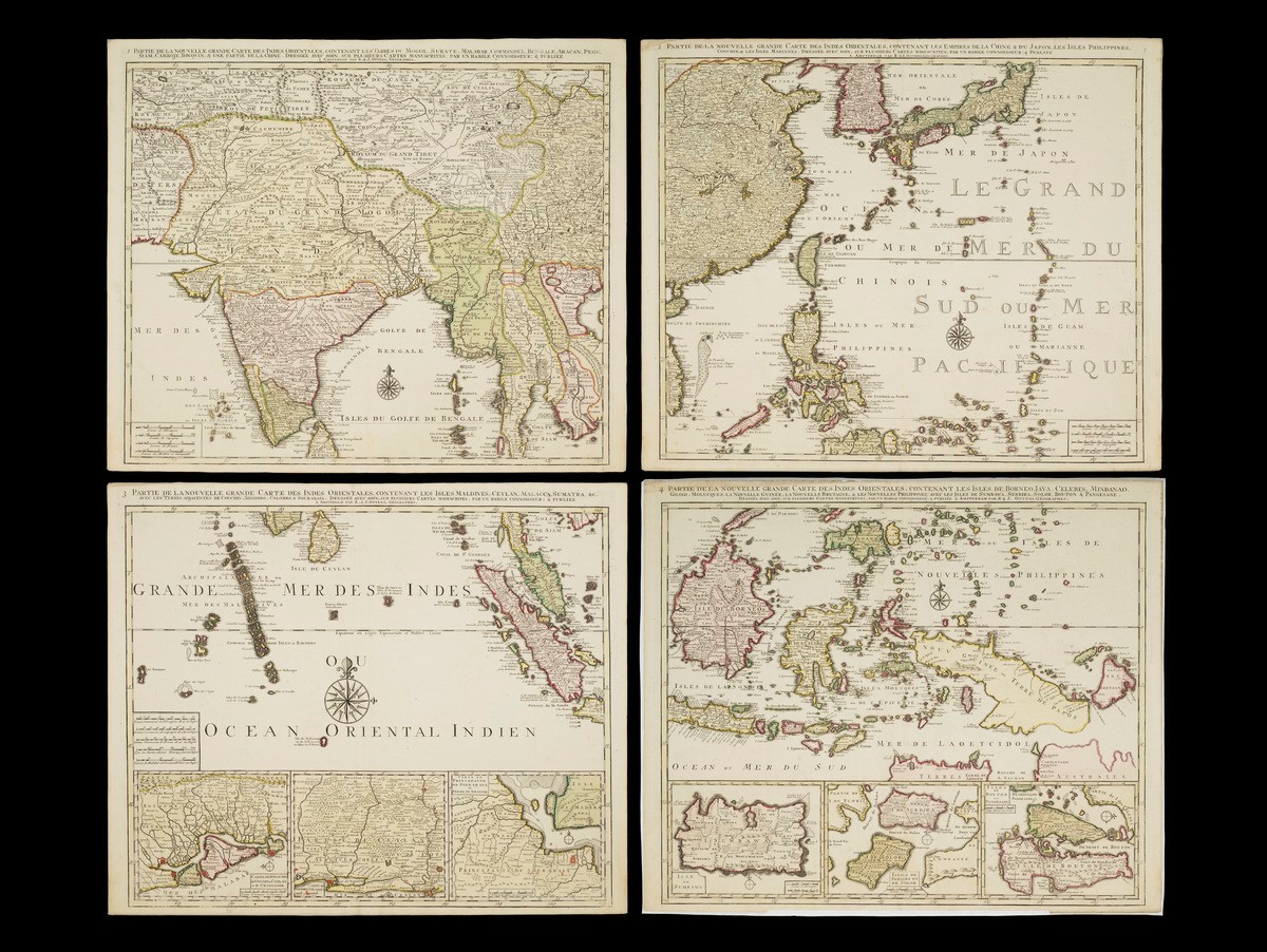
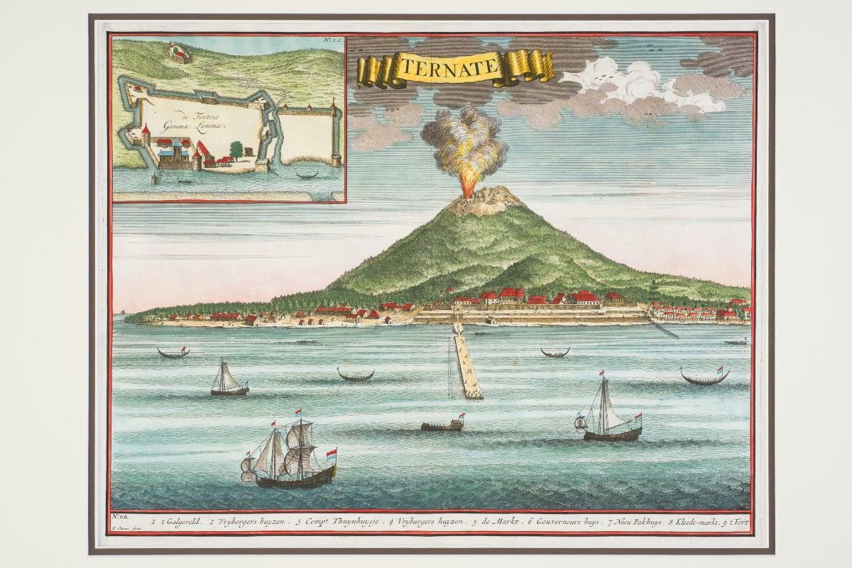
Herman Moll was a German cartographer who emigrated to England, where he was active as a map-engraver, geographer and bookseller. In this period, travel accounts were often supplemented by maps for the interest of the reading public, and much of Moll’s work as an engraver came about from this trend. This large-scale map is a survey of Asia, featuring extensive annotations on the current state of knowledge about the represented territories, their features and resources, and the “settlements, factories and territories” of various European powers active in the region. The map is dedicated to the Directors of the United East India Company, and in its information and presentation, demonstrates the interest of the period in the resources and trade networks of Asia. The map features vignettes of major Asian port cities, including Bantam, Goa, Surat, Madras and Batavia. These are similar to the topographical images and prints which would also have circulated in travelogues of the period.