Frame size: 53.4 x 66.7 x 3.5 cm,
Image size: 40.0 x 52.7 cm
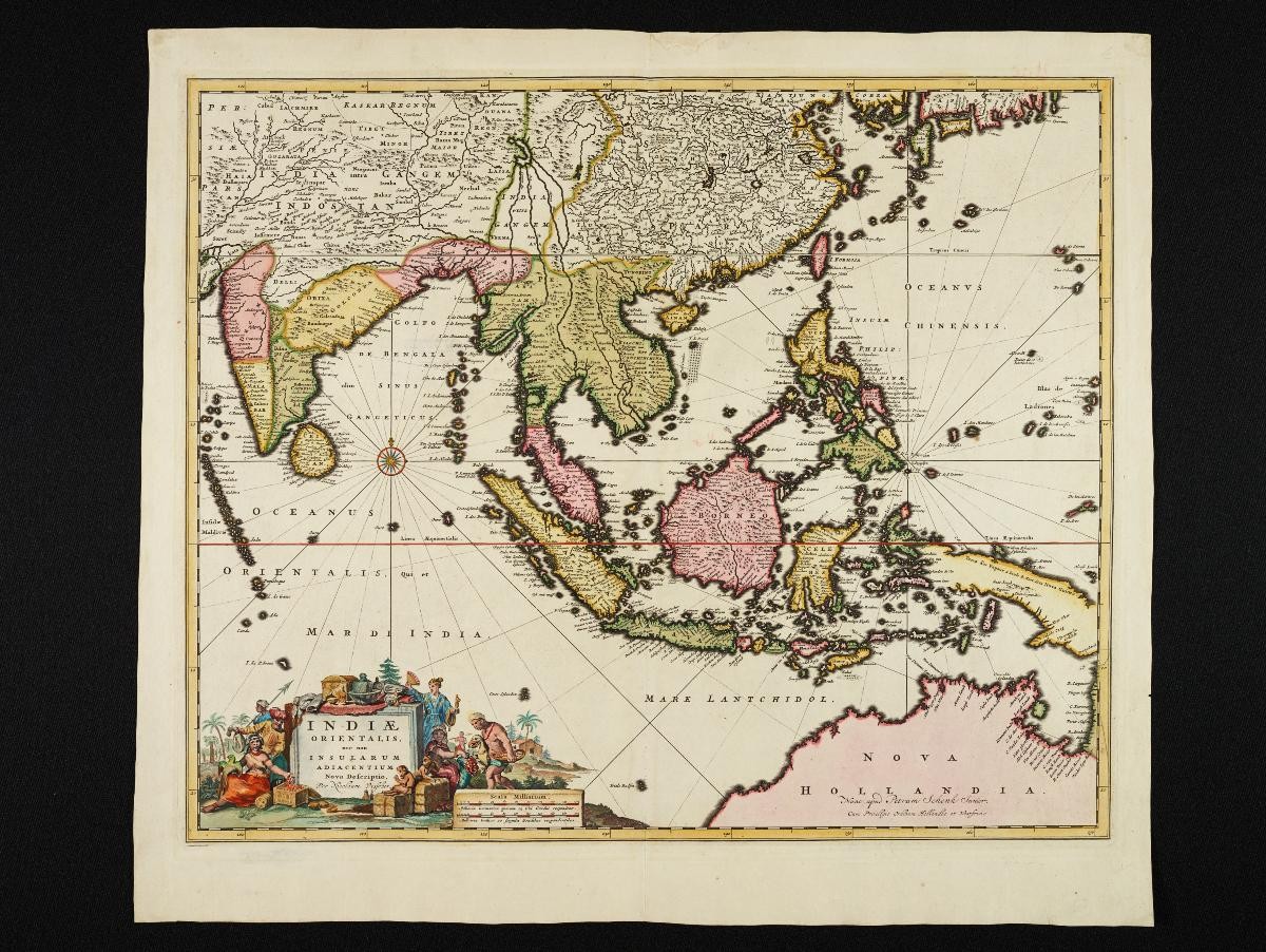
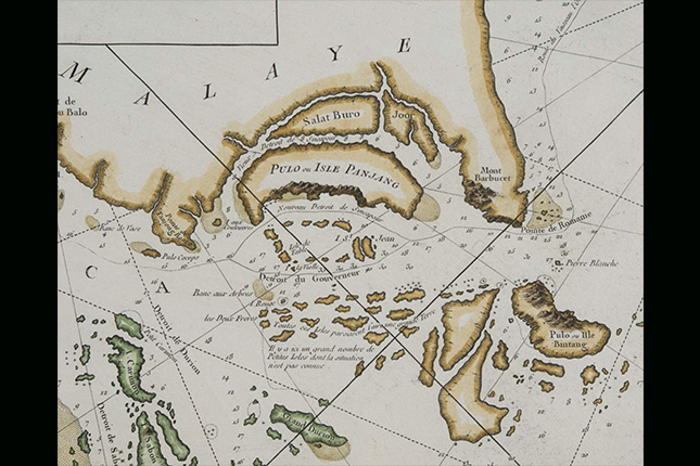
The map was produced by Jan Huygen van Linschoten, a Dutchman who spent five years in the service of the Archbishop of Goa, which was then under Portuguese rule. During his employment, Linschoten obtained crucial information from Portuguese sources on sailing routes in the East Indies, publishing them in 1596 in his landmark book Itinerario. This map was engraved in 1595 for inclusion in the Itinerario using, in Linschoten’s words, “the most correct charts that the Portuguese pilots nowadays make use of”. The first Dutch expedition to the East Indies that same year relied heavily on Linschoten’s information, having brought manuscripts of the soon-to-be-published Itinerario on board. Singapore is labelled in this map as "Sincapura" and located on the southern tip of the Malay Peninsula.