Title
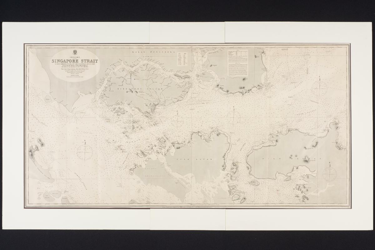
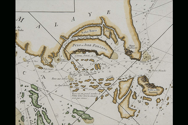
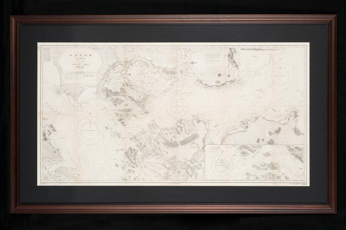
Map of China Sea - Singapore Strait
Year/Period
1923
Region
Singapore and Malaysia
Dimension
Frame size: 94 x 158.3 cm,
Image size: 67.4 x 131.5 cm
Image size: 67.4 x 131.5 cm
Accession No.
2014-00358
Collection of
This is a 1923 Japanese hydrographic chart with English-Japanese text. The chart shows the soundings in fathoms of the Singapore Straits, a crucial piece of information for ships navigating the waterway between Singapore and the Riau islands.