Image Size: H:9.0 x W:14.0 cm
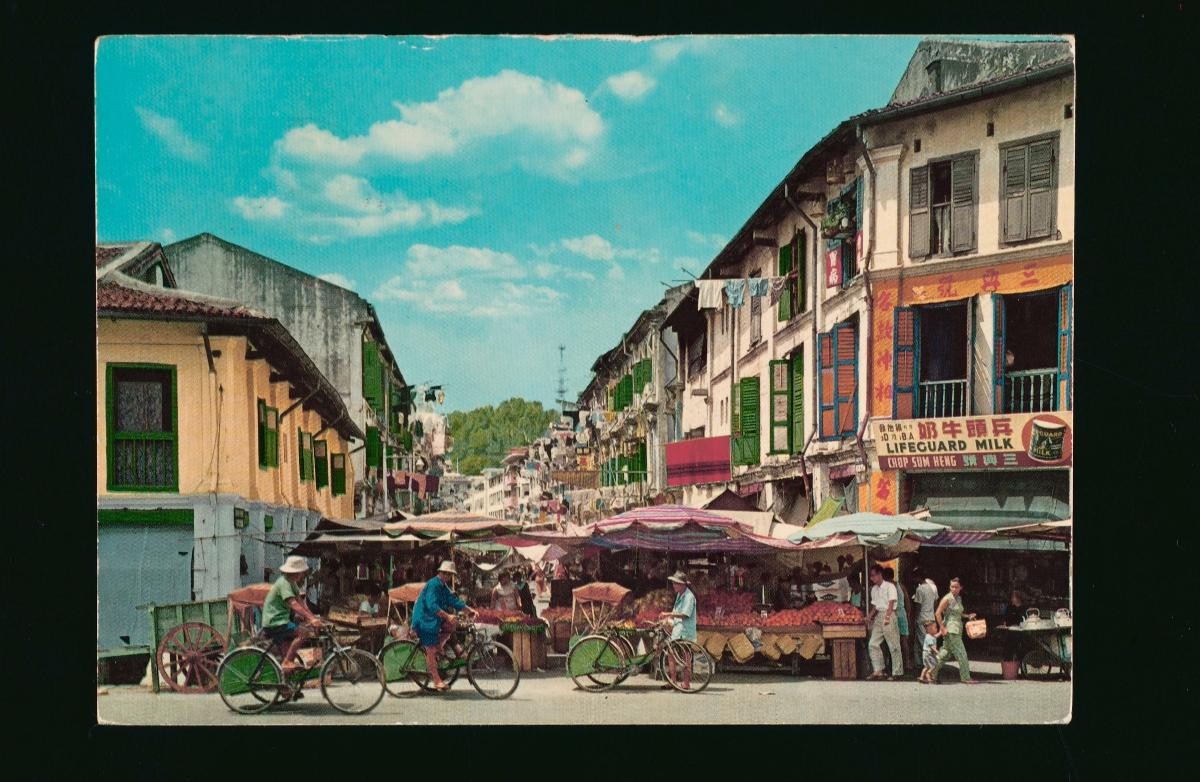
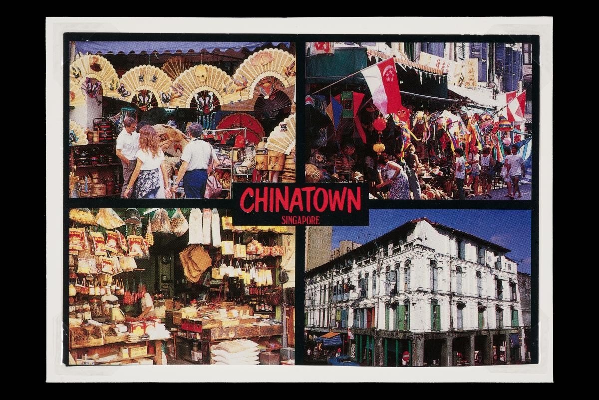
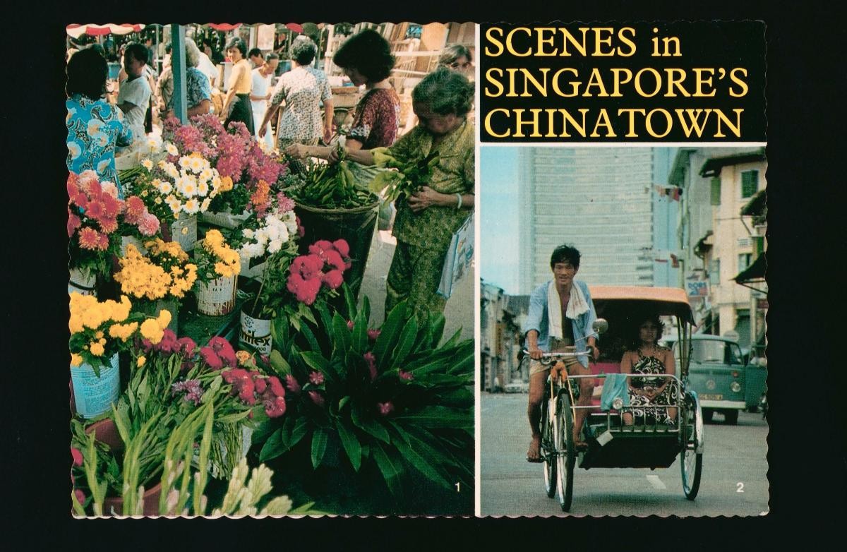
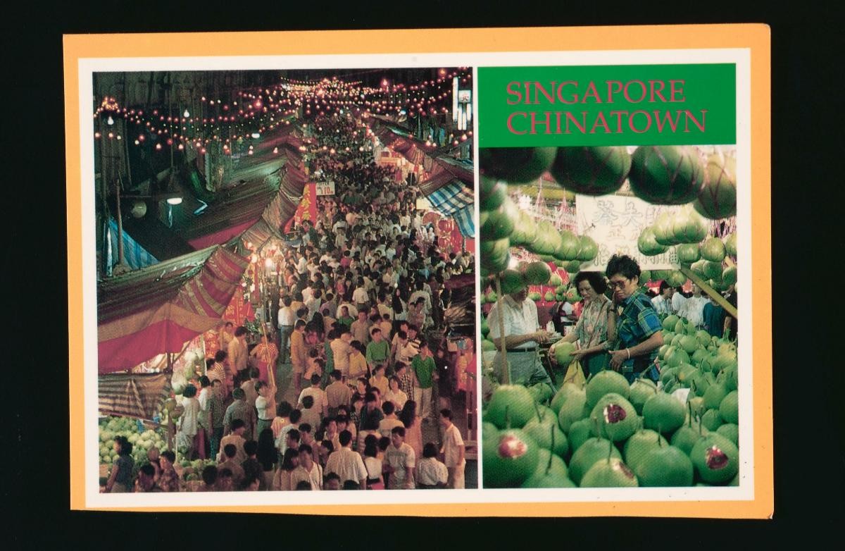
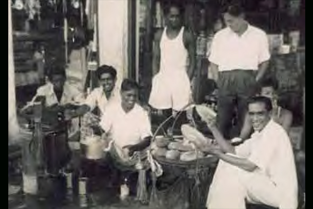
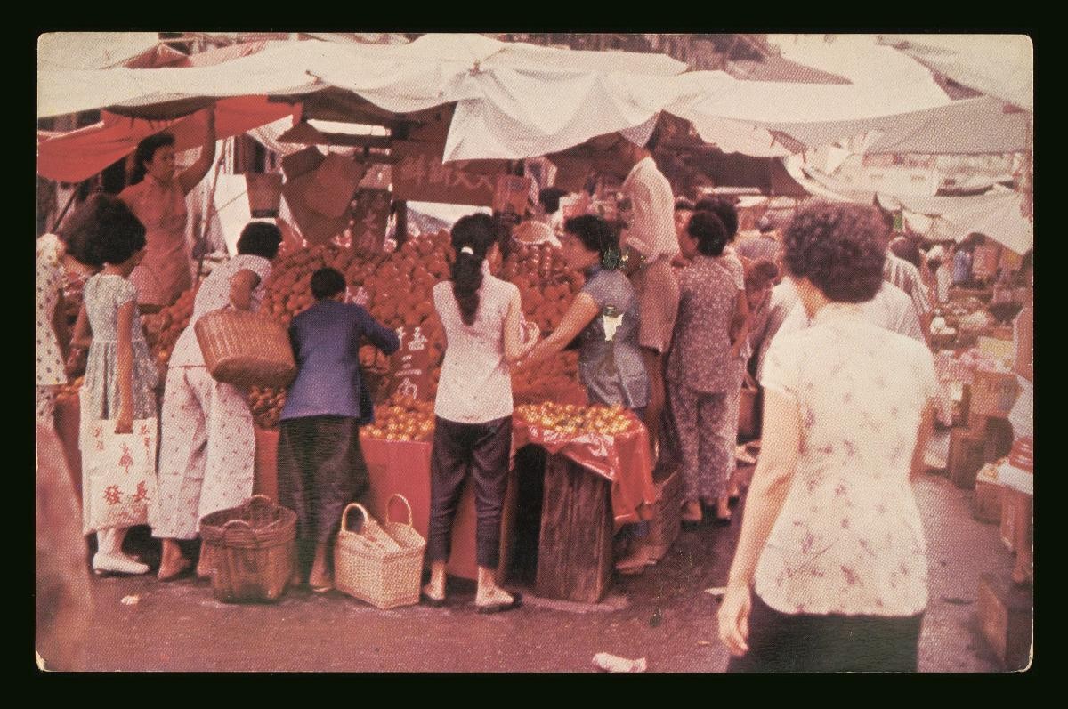
This postcard is part of a set acquired by the museum. The collection provides a glimpse into the physical and social landscape of Singapore during the 19th and 20th century which were characterised by European colonialism, the Japanese Occupation, and the post-war years. These postcards also give a glimpse into the type of architecture that was seen in Singapore in those days, as well as the range of activities, businesses, trades, and industries that the people of Singapore were involved in at that time. Some of these postcards still contain the original handwriting of the senders themselves.The historic district of Chinatown grew from the Chinese settlement known as the ‘Chinese Campong’ designated by Sir Stamford Raffles in his 1822 Town Plan for Singapore. Located on the southwestern bank of the Singapore River, the settlement initially covered an area of one square mile and was separated into zones each occupied by a particular Chinese dialect group. Major development of the district began in the 1840s following the granting of more land leases to build shophouses, and by the turn of the century, overcrowding and congestion were commonplace in the area. Starting from the mid 1960s, many of Chinatown’s residents were moved to new housing estates as part of the government’s urban renewal and resettlement schemes. Major upgrading works on the shophouses in Chinatown were carried out in the 1980s and many of the street hawkers in the area were moved to the Kreta Ayer Complex. In 2002, the Singapore Tourism Board opened the Chinatown Heritage Centre along Pagoda Street to showcase the area’s long history.