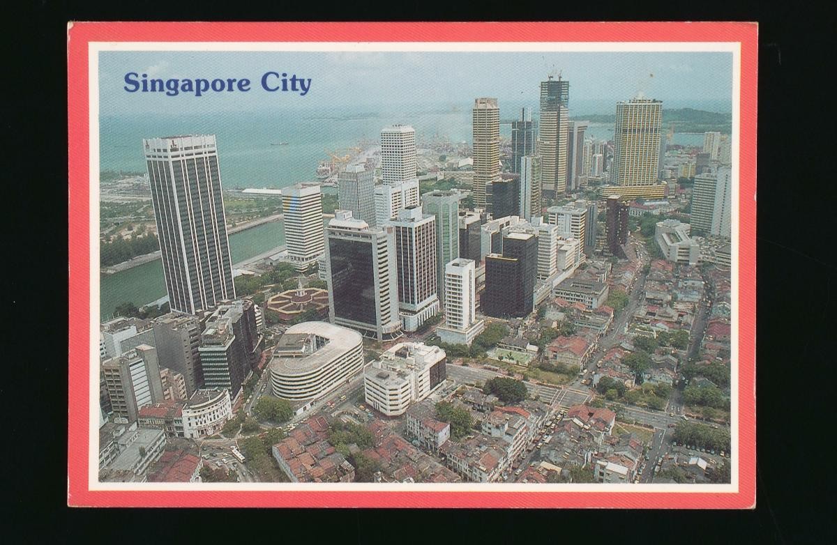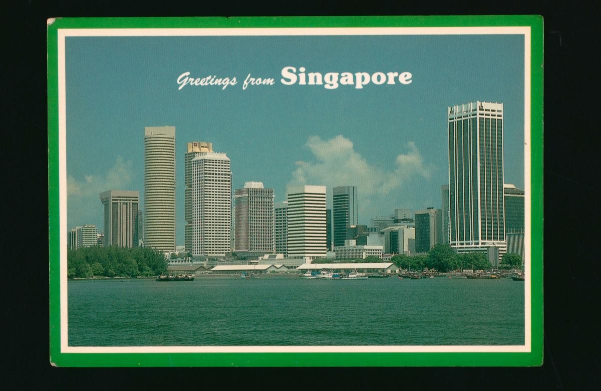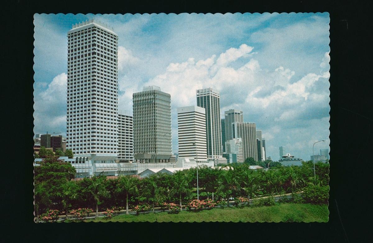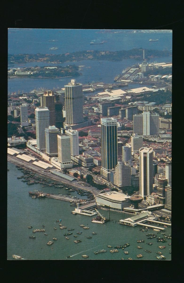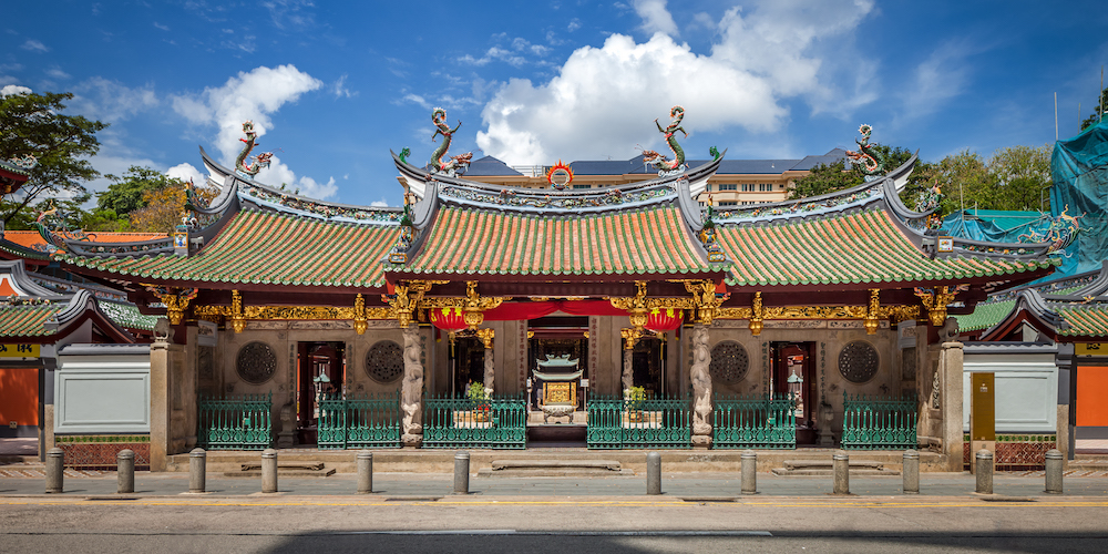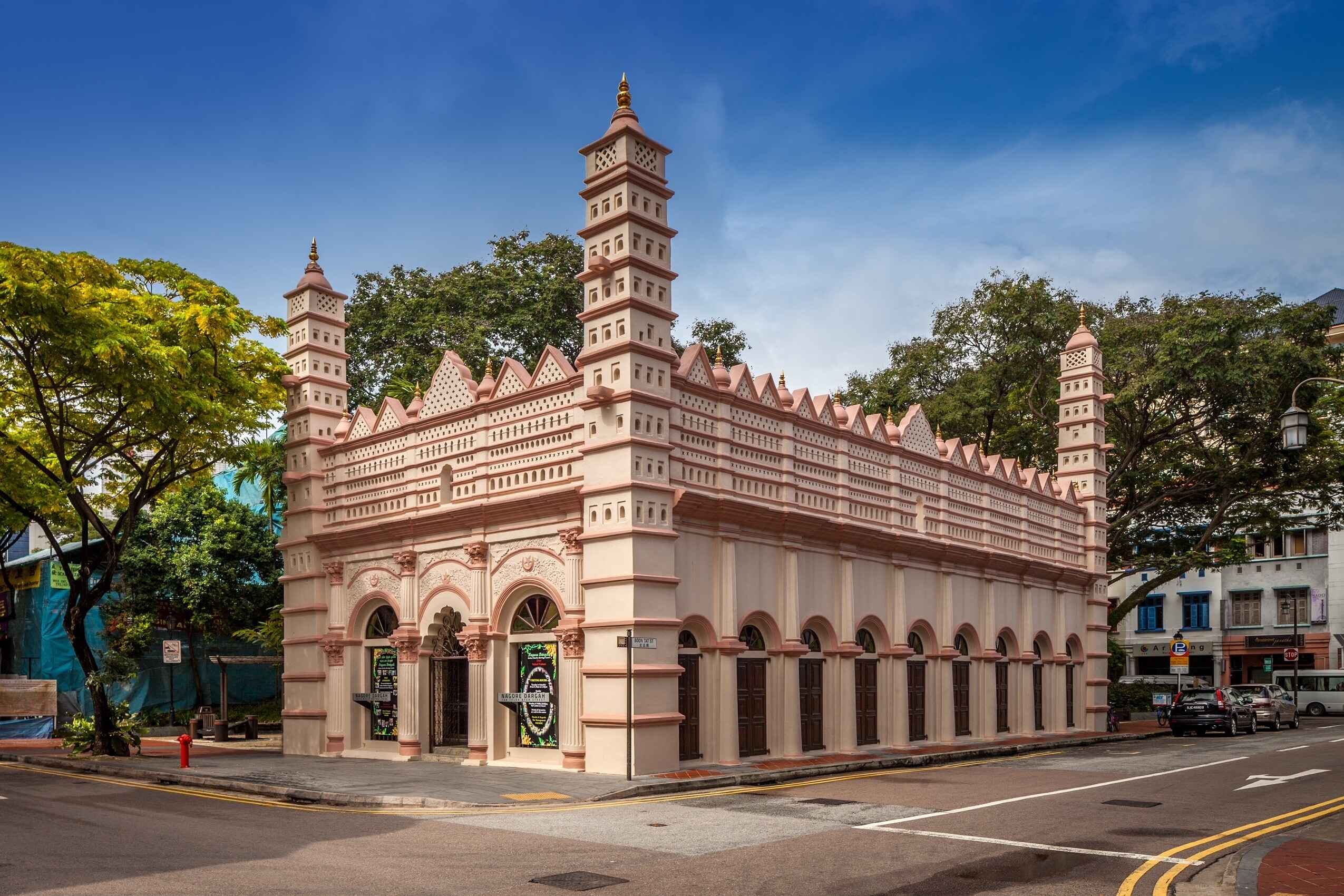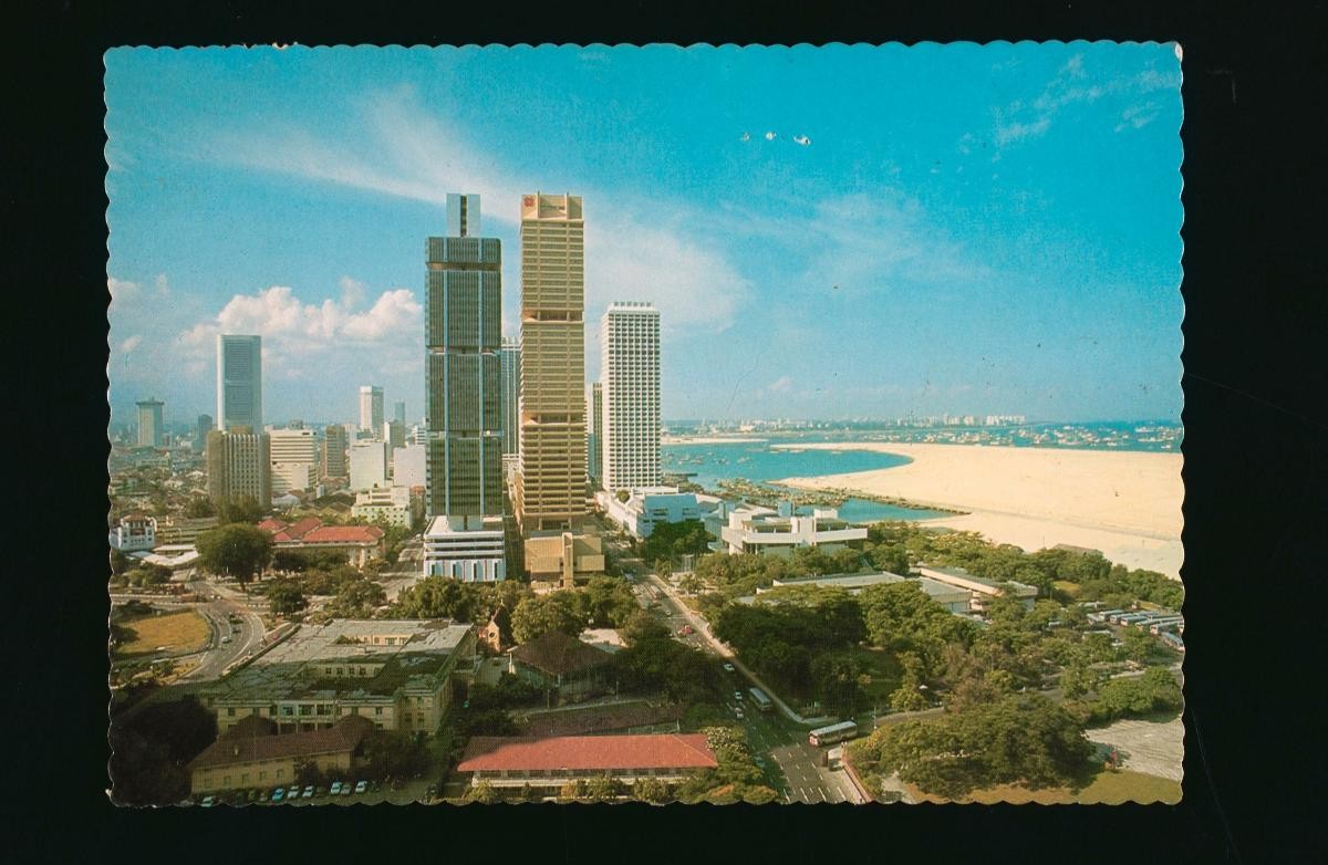
Telok Ayer (Malay for ‘water bay’) Bay was located off the shoreline of the then sea-facing Telok Ayer Street, which was the place where many of the early immigrants docked at when they first arrived in Singapore. The area surrounding the street, which was on the western edge of the British settlement around the mouth of the Singapore River, was designated as a Chinese district in Sir Stamford Raffles’ town plan of 1822. The first major land reclamation project in Singapore was carried out around Telok Ayer Bay in the 1880s using soil from nearby Mount Wallich, which pushed the coastline outwards to where Cecil Street and Robinson Road are located today. In the 1930s, further land reclamation works were carried out around what is now called the Telok Ayer Basin and a new road, Raffles Way, was subsequently built on the reclaimed land. The road was renamed Shenton Way in 1951 after Sir Shenton Thomas, the former Governor of the Straits Settlements (1934-1946). The land around it was also opened up for redevelopment and by the 1970s, the Shenton Way area had developed into Singapore’s main financial district.