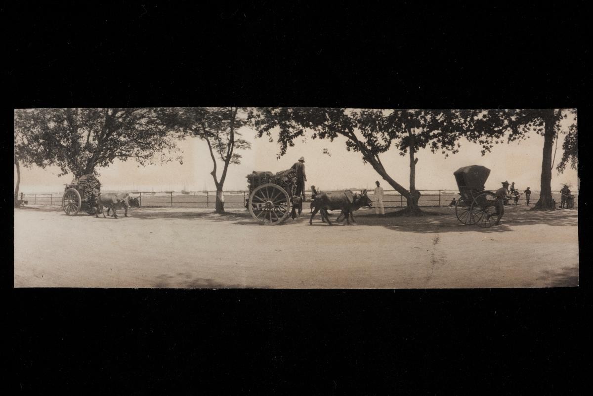
Title
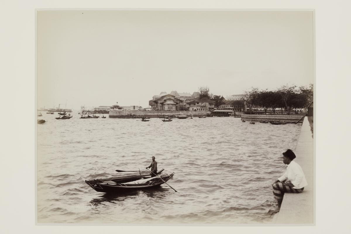
View of the Singapore waterfront from the Esplanade
Year/Period
Late 1890s
Region
Singapore
Object Type
Material
Technique
Dimension
Object size: 20.9 x 27 cm
Accession No.
2007-50905
Collection of
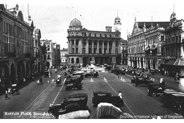
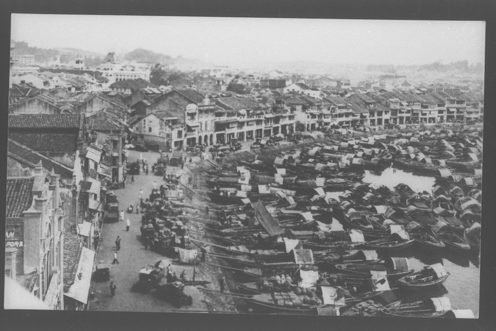
This prime sea-facing area along the south bank of the Singapore River extending towards Telok Ayer was reserved for the use of European and other merchants. This location, according to the Land Allotment Committee, was the most appropriate for the construction of godowns (warehouses) and other port facilities. Between 200 and 300 coolies and convicts toiled to level and clear the hill between Raffles Place and Battery Road, and the soil was used to fill drains, holes and the swampy south-west bank of the river. In this photograph, one can see Johnston’s Pier, the mansard rooftops of the Post Office (Fullerton Hotel today) and the gabled roofs of the Hongkong and Shanghai Bank building.