Title
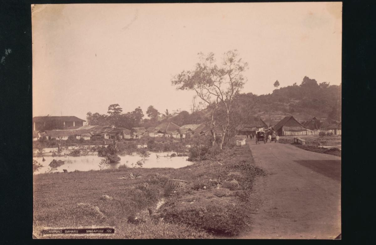
Kampong Bahru
Year/Period
1880s
Region
Singapore
Object Type
Material
Dimension
Image size: 16.8 x 21.9 cm
Accession No.
1995-01559
Collection of
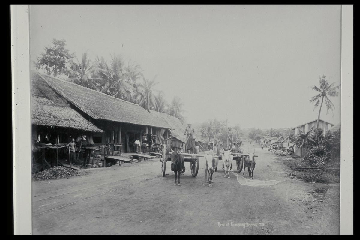
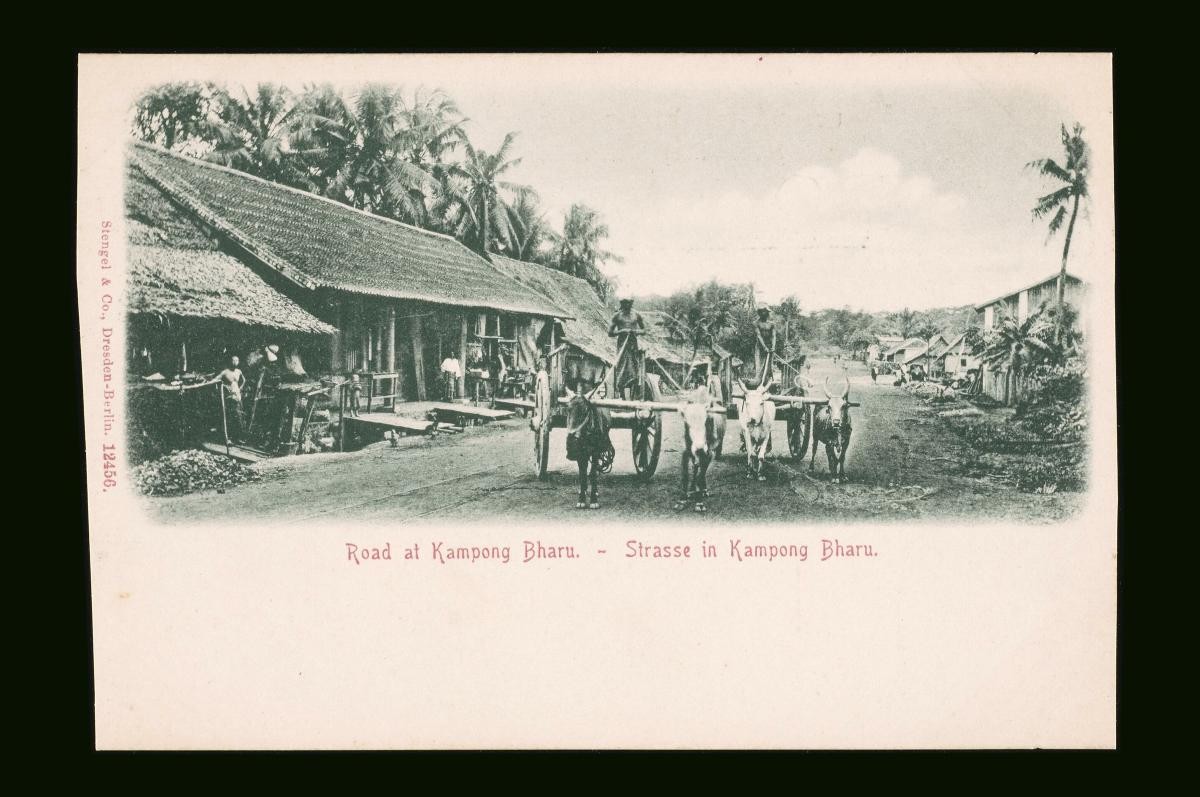
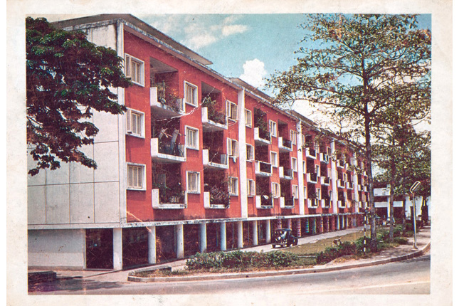
Situated along Telok Blangah Road, this country suburb lies on the western fringes of the city, as shown in a 1892 map of Singapore. In the photograph, there is a Malay village on the right side of the road and a Chinese village on the left, leading towards Pasir Panjang. Bullock carts such as the one in the midground were commonly used to transport goods from the wharves, or in this case, to move produce to the markets in the town.