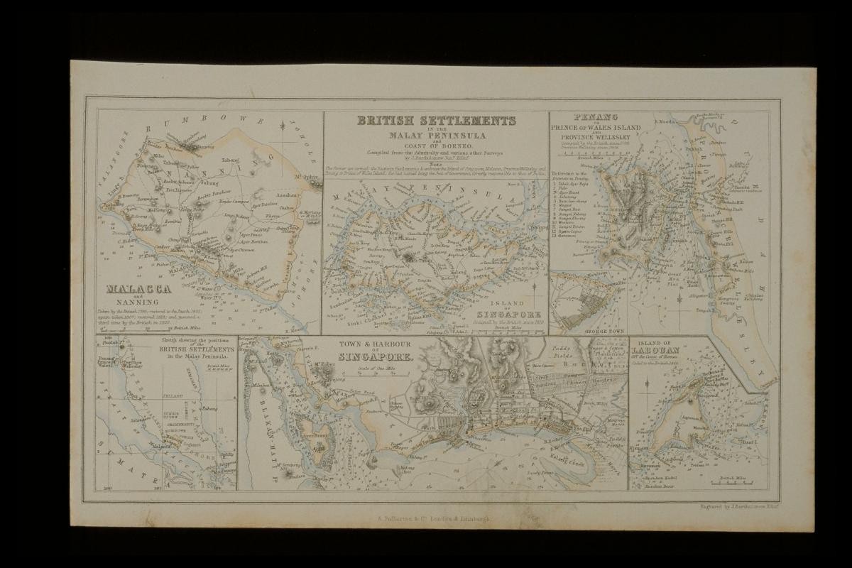
TitleA map of the British Settlements in the Malay Peninsula and Coast of BorneoYear/Period1870RegionSingapore, Malaysia and BorneoObject Typemaps (documents)Materialink, paper (fiber product)Techniqueprinting (process)DimensionImage size: L:25.5 x W:16.0Accession No.2000-07452Collection ofNational Museum of SingaporeShare on