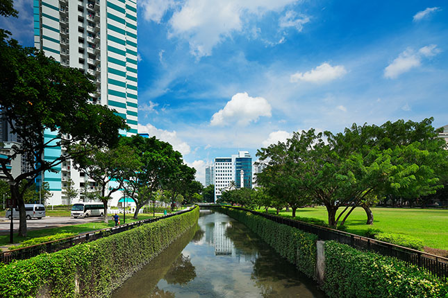
Like much of Singapore back in the early 1800s, the Balestier precinct was a forested region. A small river, initially known as Balestier River and later renamed Sungei Whampoa, ran through the area and emptied into the Kallang River Basin.
Sungei Whampoa was fed by tributaries that originated in the vicinity of Bukit Brown, Mount Pleasant and Thomson Road. In the 1860s, the area west of Thomson Road was developed into Thomson Road Reservoir, which was renamed MacRitchie Reservoir in 1922 after municipal engineer James MacRitchie. MacRitchie Reservoir remains the primary source of Sungei Whampoa today.
North of Sungei Whampoa were hills and swamps that later became known as Toa Payoh (“big swamp” in Hokkien, payoh being derived from paya, Malay for “swamp”). Meanwhile, Balestier Road’s southern side was a hilly area which was later occupied by a Teochew cemetery and Tan Tock Seng Hospital.


