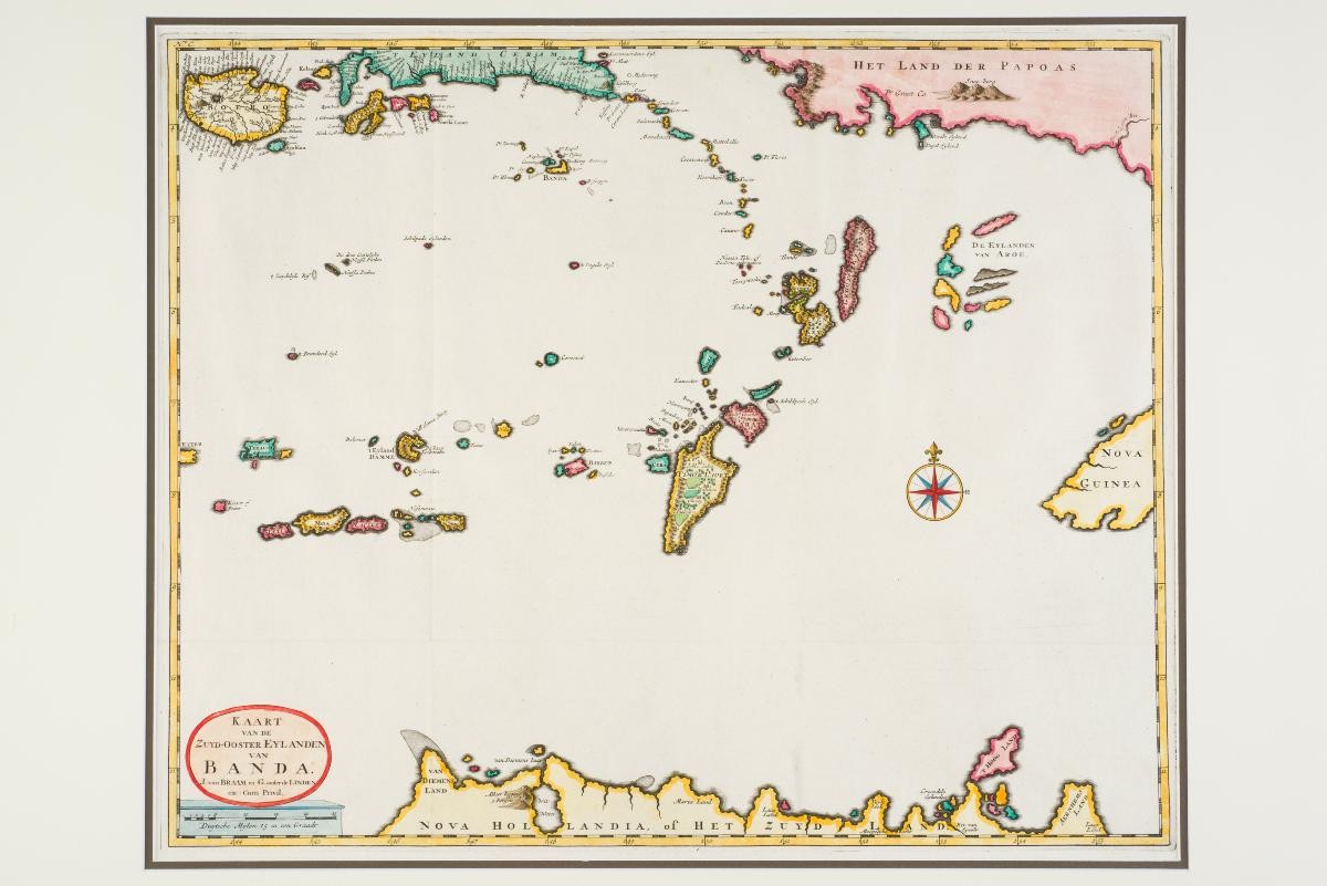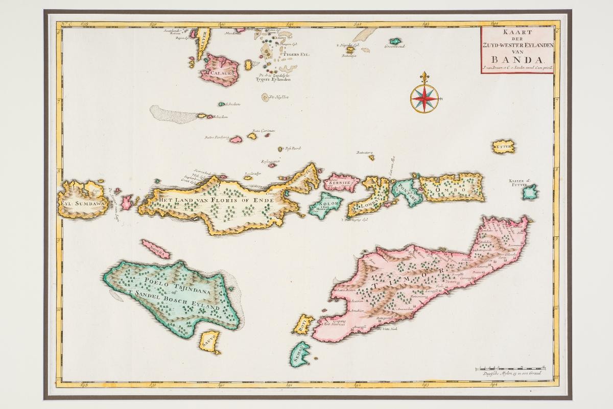
Title
Kaart der Zuyd-Wester Eylanden van Banda (Map of the South-wastern Banda Islands)
Creator
Year/Period
1726
Region
Holland
Dimension
Image size: 35.0 x 47.2 cm,
Frame size: 50.8 x 63.5 cm
Frame size: 50.8 x 63.5 cm
Accession No.
2016-00307
Collection of
Francois Valentijn (1666–1727) was a minister, naturalist and writer who served the Dutch V.O.C. in the East Indies in the late 17th and early 18th centuries. His monumental work Oud en Nieuw Oost-Indien (Old and New East-India), published between 1724 and 1726, offers a comprehensive mapping of the East Indies with a large selection of scale maps and views. This map of the South-western Banda islands was published in that work.