Title
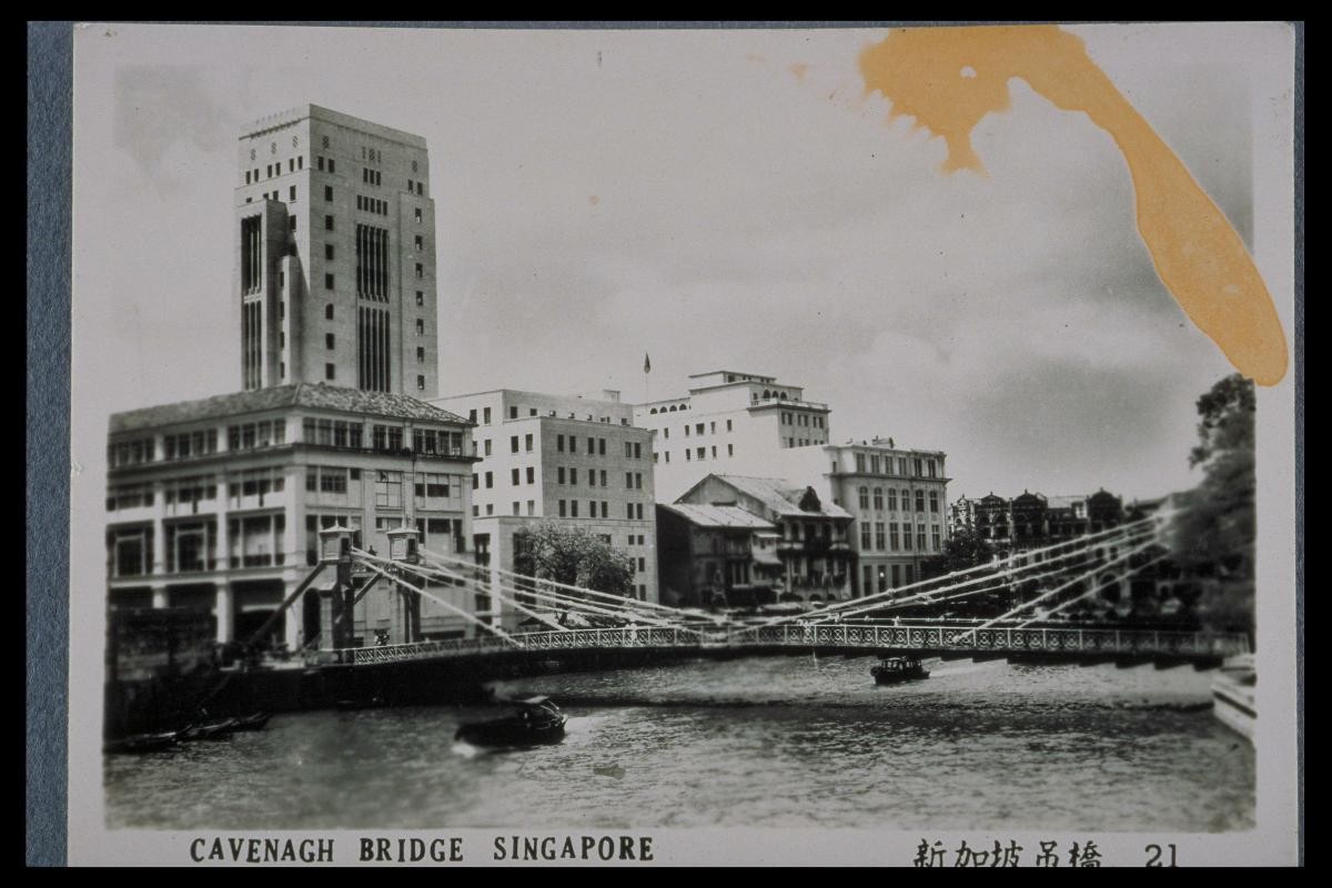
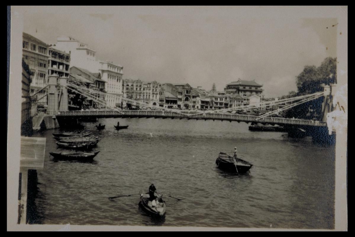
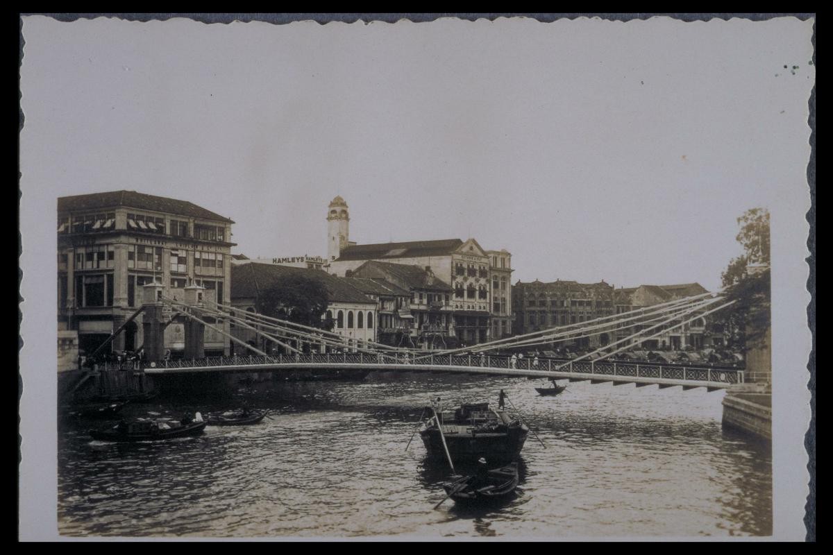
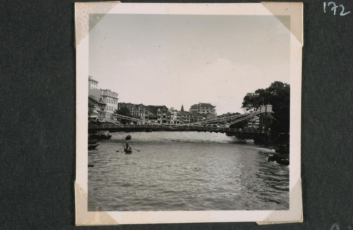
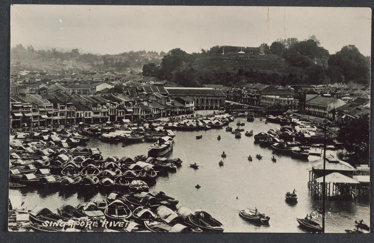
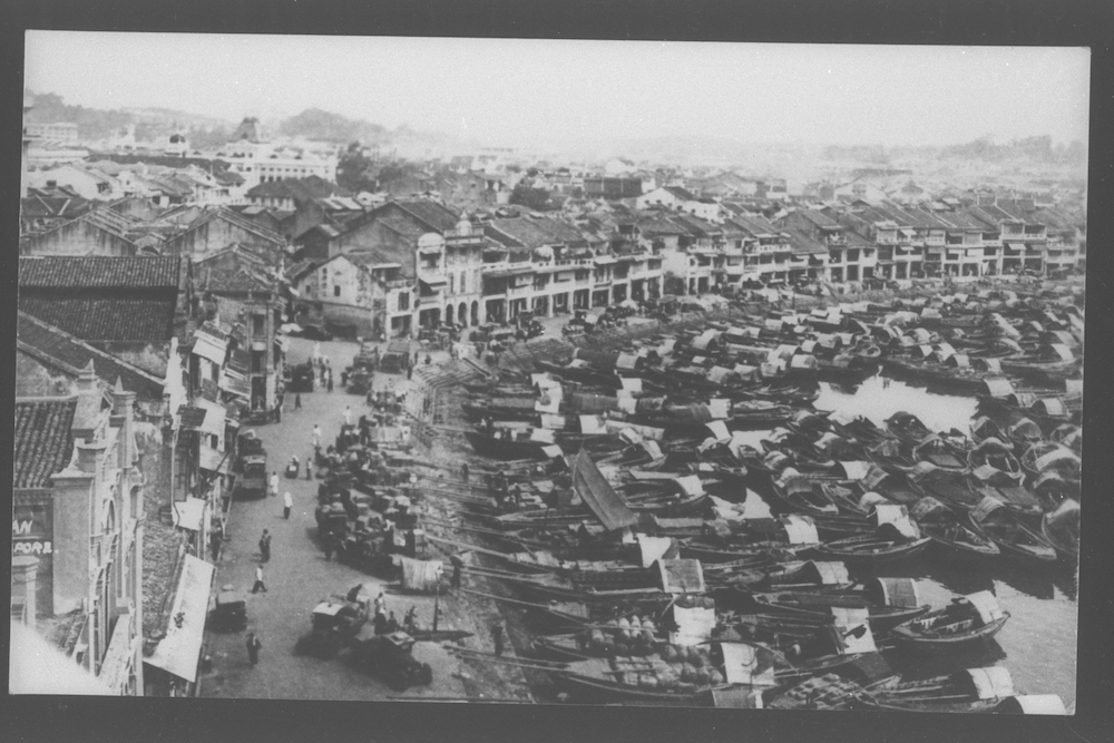
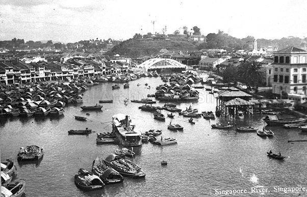
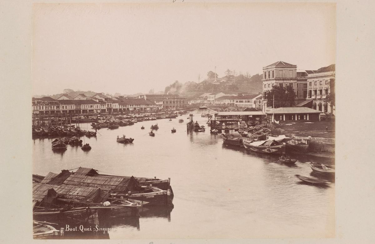
View of Boat Quay from Cavenagh Bridge
Year/Period
1880s
Region
Singapore
Object Type
Material
Dimension
Image size: 21.5 x 27.5 cm
Accession No.
1994-04904
Collection of
Boat Quay curves around the northern and southern banks of the Singapore River. Its north bank (today’s Empress Place) was set aside for government purposes, and the south bank was demarcated for commerce and was part of the designated area for the “Chinese Campong”. The Government Offices building is visible on the right of the photograph. At its widest, the river is shaped like the belly of a carp, an auspicious symbol for the Chinese, thus its nickname “the Belly of the Carp”.