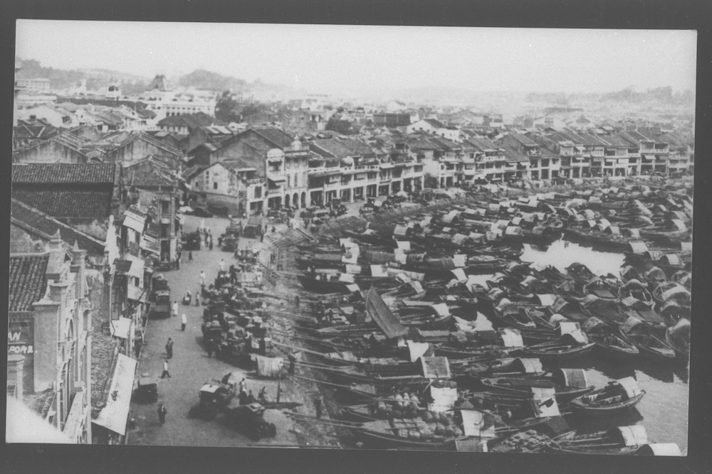
Early geographers and town planners of Singapore saw the Singapore River as a valley between two high points: Fort Canning and Pearl’s Hill, and thus named two roads on either bank of the river, River Valley Road. Naturally, this proved rather confusing. In 1858, the Municipal Commission decided to rename the former River Valley Road that leads towards New Bridge Road by the foot of Pearl’s Hill. Specifically, the stretch from the junction of Kim Seng Road towards Upper Cross Street was renamed Havelock Road, while the stretch from the junction of Kim Seng Road to New Bridge Road was renamed Outram Road. This was done to honour the two British heroes of the Indian Mutiny: Lieutenant-General James Outram (1803–1863) and Lieutenant-General Henry Havelock (1795–1857), who had put down the Indian Mutiny the year before.
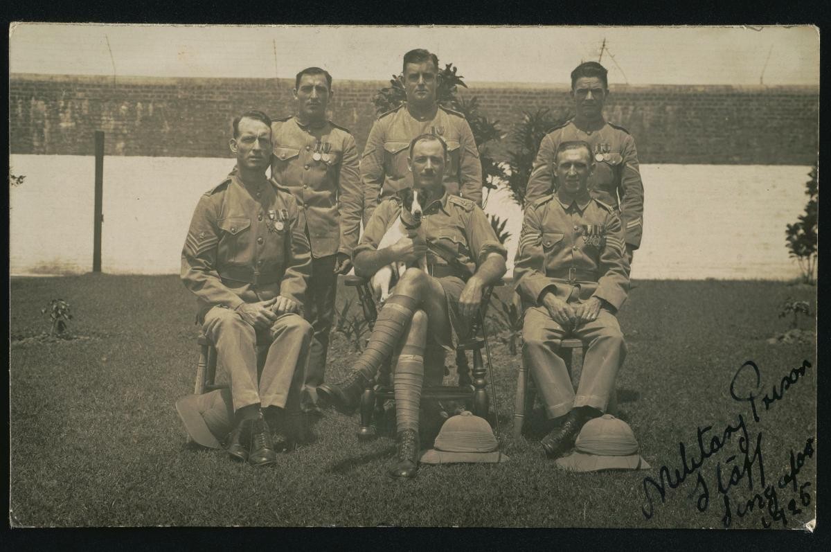
This hilly area near the junction of Jalan Bukit Merah and Outram Road had long been a military area. It was first settled when the 35th Regiment of the Madras Native Infantry built their barracks at this junction in 1827. Members of this regiment were Sepoys – Indian soldiers employed by the East India Company – and the area became known as Sepoy Lines. The Sepoys occupied this area till the 1860s when they moved to Tanglin Barracks where the Dempsey Road and Dempsey Hill eateries are now located. In 1873, the Singapore General Hospital relocated to Sepoy Lines. As the Sepoys had by this time relocated to Tanglin Barracks and to Fort Canning, the hospital was able to use the buildings that previously housed the troops.