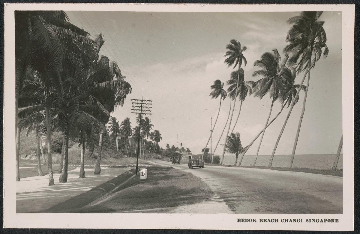
Bedok Rise represents the highest point of the trail and can be approached either through the undulating road of Bedok Rise or the historical Tanah Merah Kechil Road South. From the top of Bedok Rise, residents used to be able to keep a lookout for fires and other incidents all the way to Eunos. While the lower lands of Kampong Bedok were home to a thriving Malay village that remained in existence until the early 1980s, these hills were once cultivated as fruit and vegetable farms by Chinese residents.
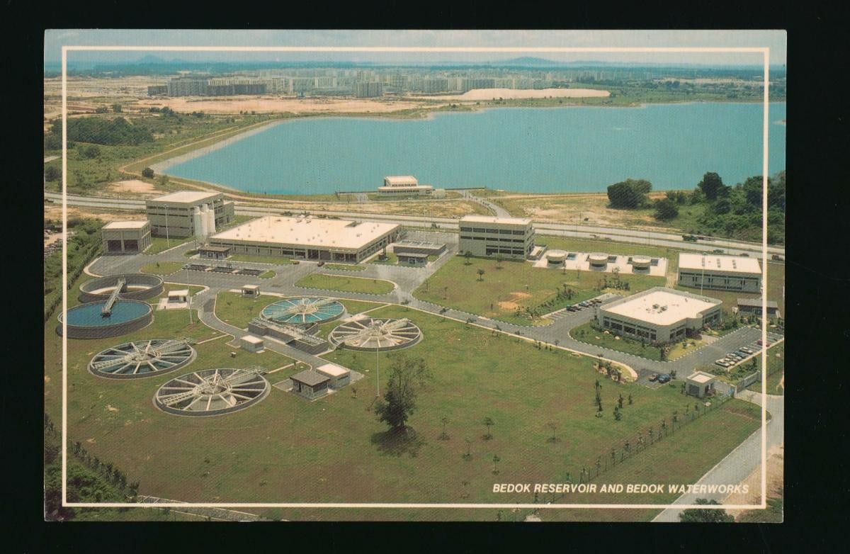
This area provides visitors with an idea of the undulating elevation of the Bedok area prior to the levelling of land in the 1960s to 1980s for land reclamation. Excavated earth from former hills in the area was used to fill the sea from the edges of Bedok to Tanjong Rhu, to form today’s East Coast Park and Marine Parade.
The multi-phase land reclamation project was carried out by bucket wheel excavators which flattened the hills of Bedok while a 16 kilometre-long conveyor belt transported the earth to the coast. When the project was completed, the coast at Bedok had been extended by more than half a kilometre seawards.
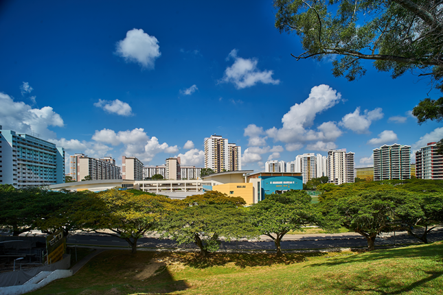
Through land reclamation, the Housing and Development Board (HDB) envisioned a New Town at Bedok with a population of over 200,000 like Queenstown and Toa Payoh before it. Following HDB’s New Town model of the 1960s and 1970s, Bedok would feature an integration of housing, amenities and services and serve as an early example of today’s live-work-play concept.