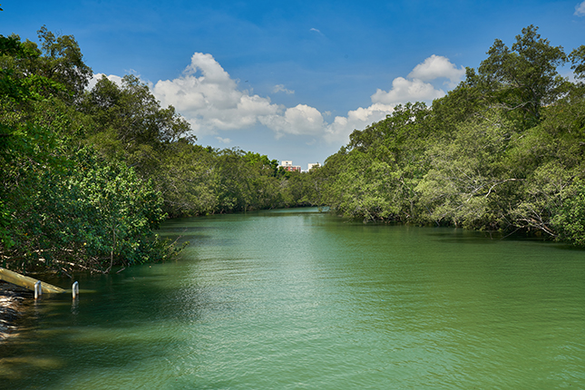
Sungei Api Api and Sungei Tampines are two rivers that flow through Pasir Ris Town and into the Strait of Johor. The rivers take their names from the Api Api (Avicennia) family of mangroves and the Tempinis (Streblus elongatus) tree, both of which were previously widespread in this area.
Before the redevelopment of Pasir Ris in the late 1980s, these two waterways converged into a common river mouth, and were the largest of more than 10 sungai (“rivers” in Malay) in Pasir Ris. Most of these rivers have since been filled in along with their neighbouring mangrove swamps and marshland.
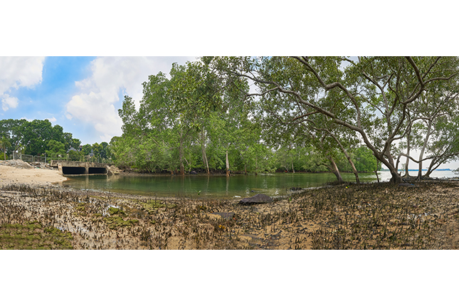
Sited along Sungei Api Api and Sungei Tampines were kampongs (“villages” in Malay), including Kampong Pasir Ris and Kampong Tampines. Kampong residents tapped the rich mangrove ecosystem for timber and fish, among other uses. Other useful natural resources in the area included the leaves of the attap palm for thatched roofing and baskets, and its fruit for the local dessert ice kacang.
When Pasir Ris Town was developed in the 1980s, both rivers were realigned and made into canals. Nevertheless, sections of mangrove forest were preserved within the public housing estate at Sungei Api Api and within the six-hectare Mangrove Forest in Pasir Ris Park, sustaining a biodiversity-rich ecosystem for research, education and public enjoyment.
Explore the Suggested Short Trail Routes:
- Coastal Heritage , 3.5km: 1 hour on foot; 30 mins on bicycle
- Play @Pasir Ris , 4.5km: 1 hour on foot
- Architectural Highlights , 5.6km: 1.5 hours on foot