

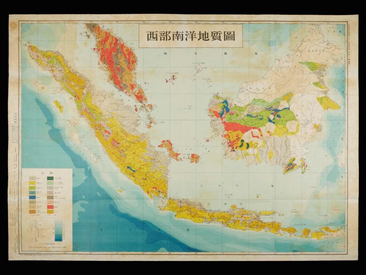
Title
Seibu nan’yo chishitsuzu (Geological Map of the Western South Seas)
Year/Period
1943
Region
Island Southeast Asia
Object Type
Material
Technique
Dimension
Image size: 76.7 x 109.1 cm
Accession No.
2025-01338
Collection of
This map titled Seibu nan’yo chishitsuzu (西部南洋地質圖) or the Geological Map of the Western South Seas was commissioned by the Japanese administration and compiled by Omura Ichizo. The map depicts Borneo, Sumatra, the Malay Peninsula, Java, and surrounding islands, capturing several details including the geological age of the area, train networks, population density and locations of oil fields. First published in 1943 by the Nihon Tosei Chizu Kabushiki Kaisha (日本統制地図株式会社) , it was compiled a year after these territories were occupied by Japan to assess the feasibility of acquiring resources such as oil, which were crucial for sustaining the ongoing war.