

Title
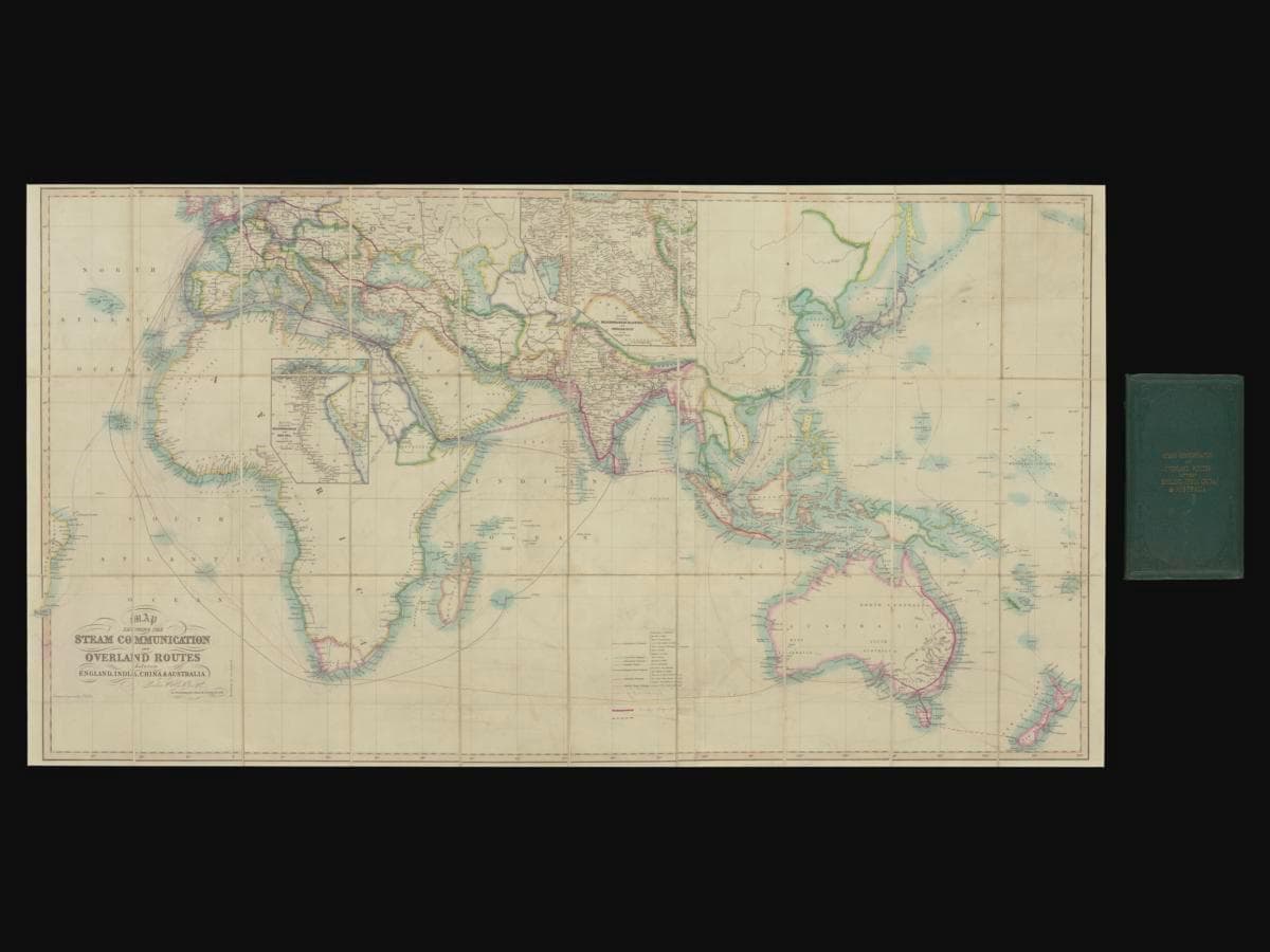
Map showing the Steam Communication and Overland Routes between England, India, China & Australia
Year/Period
1853
Region
India
Object Type
Material
Dimension
Image size: Refer to parts
Accession No.
2025-01335
Collection of
This map was engraved by John Walker and published by the W. H. Allen and Company, which was known for publishing maps related to the British colonies due to a close relationship with the East India Company. The map includes many annotations and line drawings which indicate new steamship routes and telegraph lines developed after 1853. The map was last annotated sometime in 1869. The map shows a proposed telegraph line from Suez to Bombay, and the envisioned route of the Darwin-Burketown Telegraph Line before the Australian Overland Telegraph Line was confirmed as Australia’s first international telegraph connection to the world.