

Title
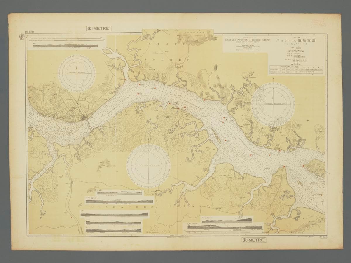
Japanese Hydrographic Map of Eastern Johor Straits
Year/Period
1939 (Updates included till 1954)
Region
Singapore and Malaya
Object Type
Material
Technique
Dimension
Image size: 77.0 x 107.9 cm
Accession No.
2025-01464
Collection of
This hydrographic chart depicts the Eastern part of the Johor Straits, from Pulau Ubin to Sungei Kranji. It was published by the Japanese Hydrographic Department of the Ministry of the Navy on 22 September 1939, with corrections included till 1954. This chart had referenced a hydrographic chart plotted by the British Admiralty in 1938 and included details on the location of rubber plantations, the causeway, as well as the Sembawang Naval Base which seemed to still be in construction in this chart.