

Title
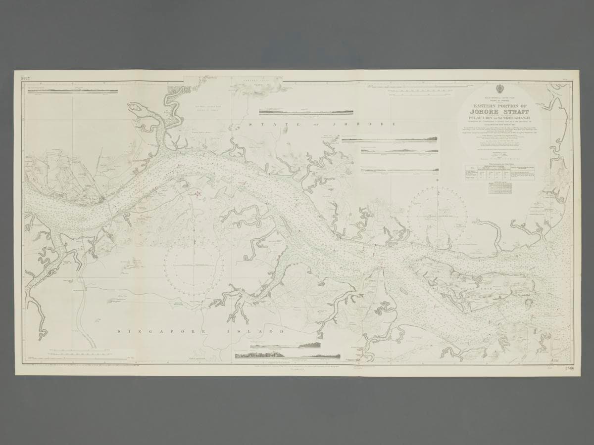
British Admiralty Map of Eastern Johor Straits
Year/Period
1924 (Updates included till 1958)
Region
Singapore and Malaya
Object Type
Material
Technique
Dimension
Image size: 71.4 x 131.8 cm
Accession No.
2025-01463
Collection of
The admiralty chart depicts the Eastern part of the Johor Straits. It was first published by the British Admiralty’s Hydrographic Office on 9th September 1924 based on a survey done in 1921 by HMS Merlin, with corrections up till 1958. The chart plotted in detail the location of rubber plantations, key areas in the Johor Straits such as the causeway and of significance would be a detailed outline of Sembawang Naval Base with the docks, dockyard reach, Quarantine Anchorage, Ordnance Reach clearly indicated.