

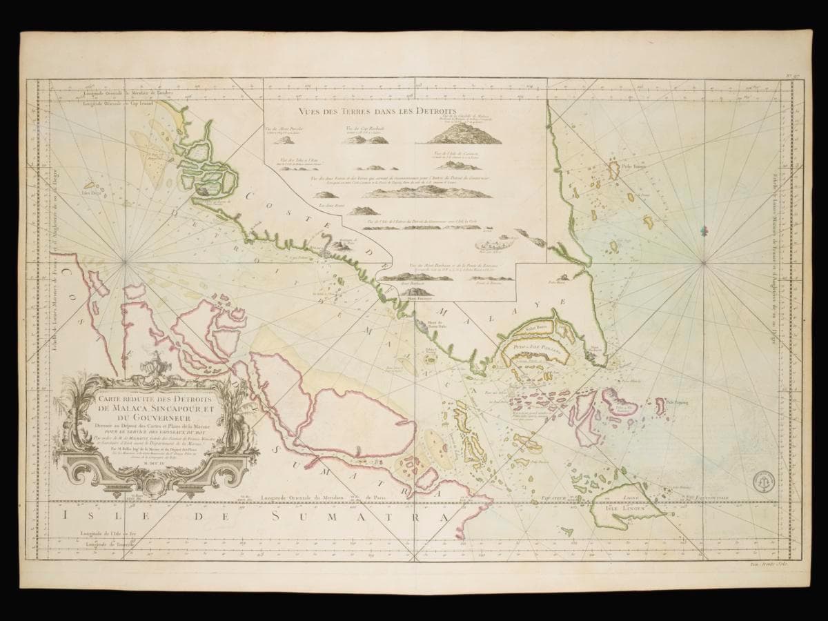
Title
Notable Navigational Chart of the Straits of Malacca and Singapore
Creator
Year/Period
1755
Region
Malacca and Singapore
Object Type
Material
Dimension
Object size: 64.3 x 91.4 cm
Accession No.
2025-00651
Collection of
This 1750 map was created by Jacques Nicolas Bellin, the first Ingénieur de la Marine of the French Hydrographical Office. As a hydrographer's map for the Navy, there is a heavy emphasis on accuracy when it comes to the marine features, especially the waterways that could be used.Interestingly however, while the Straits of Singapore were well-named, they were poorly understood by Bellin.