

Title
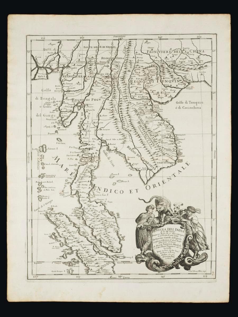
Map of Southeast Asia to the east of India
Creator
Year/Period
1683
Region
Malay Archipelago
Object Type
Material
Dimension
Object size: 61.8 x 47.8
Accession No.
2025-00652
Collection of
This 1757 map by Jacques-Nicolas Bellin shows us the larger Malay world in the 18th century. We see the area through the eyes of the Official Hydrographer to the French King, and learn what was of note for the French Navy. As Paris was the centre of cartography at the time, this map likely influenced how Europe saw the Malay world as well.Notably, there are 2 waterways that are overestimated in the map. The Mekong river is featured as a much larger-than-life waterway that allows inland travel in the Champa and Cambodian landmass. There is also a crescent-shaped strait that cuts into the Malayan Peninsula, possibly the Perak River, or the islands off Klang.