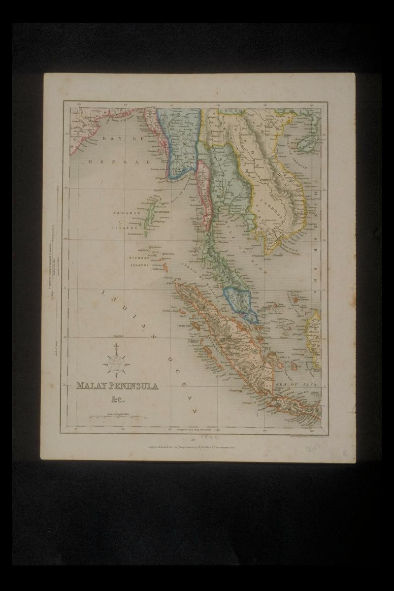
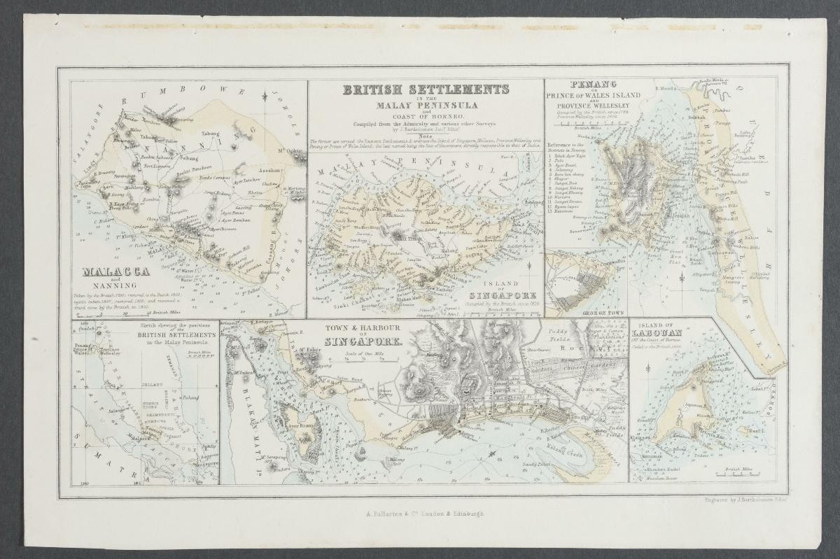
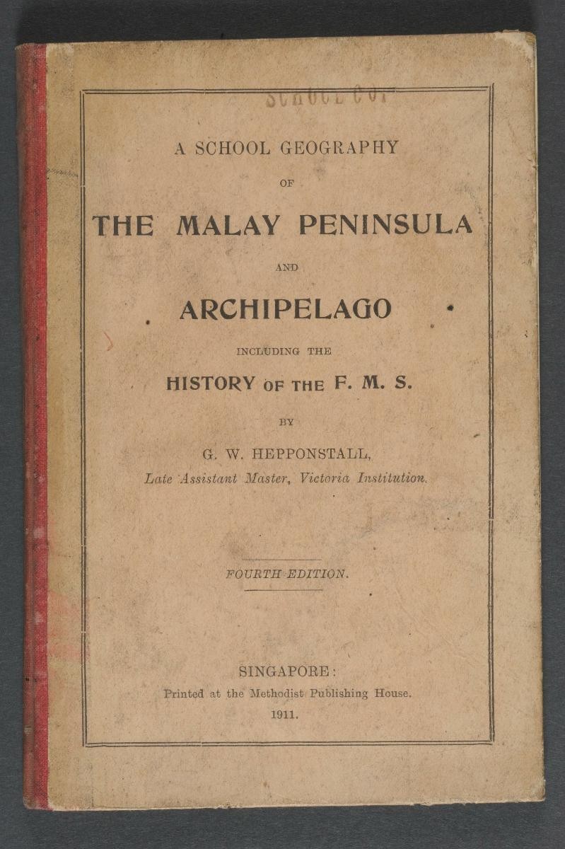
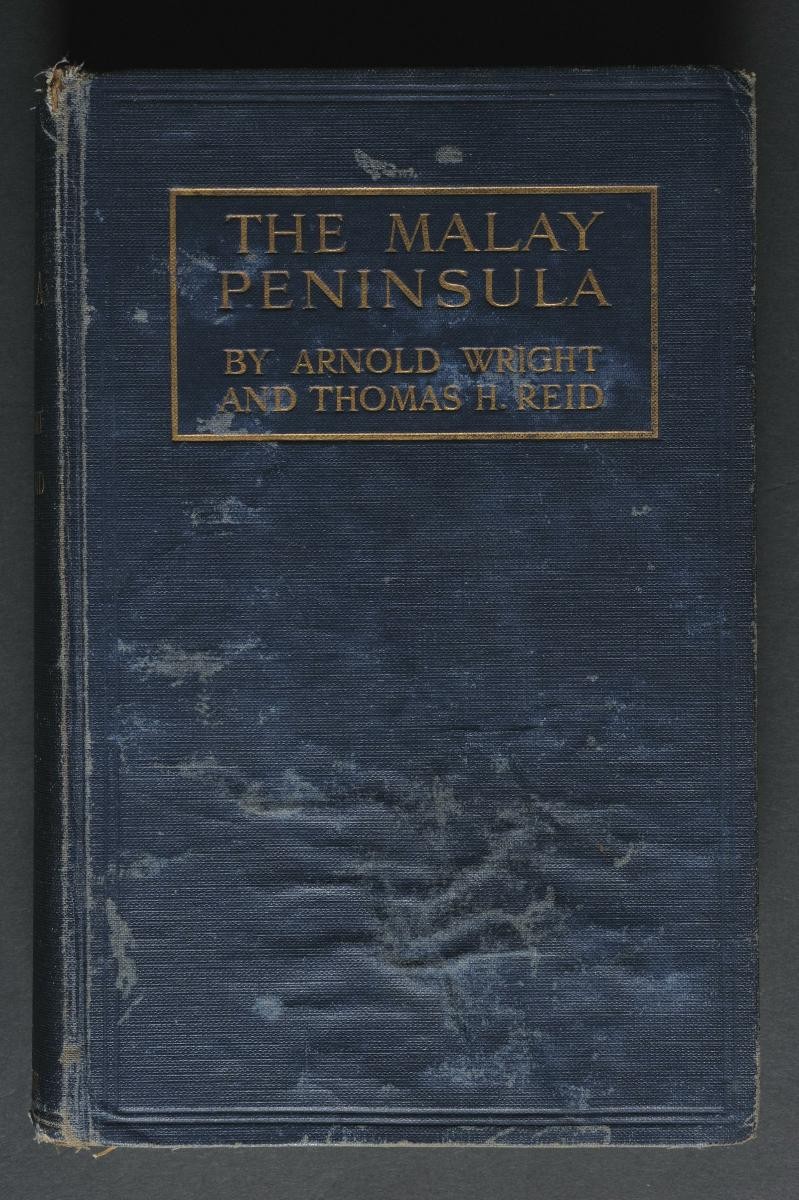
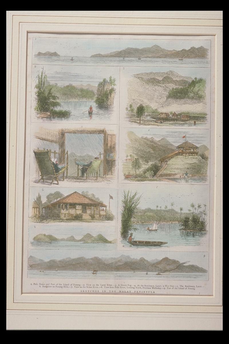
TitleMap of the Malay PeninsulaYear/PeriodLate 19th centuryRegionMalay PeninsulaObject Typemaps (documents)Materialpaper (fiber product), inkTechniqueprinting (process)DimensionImage size: L:27.0 x W:33.2Accession No.2000-06616Collection ofNational Museum of SingaporeShare onSee related itemsMap of British Settlements In Malay Peninsula and Coast of Borneo‘A School Geography of the Malay Peninsula and Archipelago including the History of the F.M.S’ by G.W. HepponstallThe Malay Peninsula: A Record of British Progress in the Middle East (1st Edition)'Sketches in the Malay Peninsula'