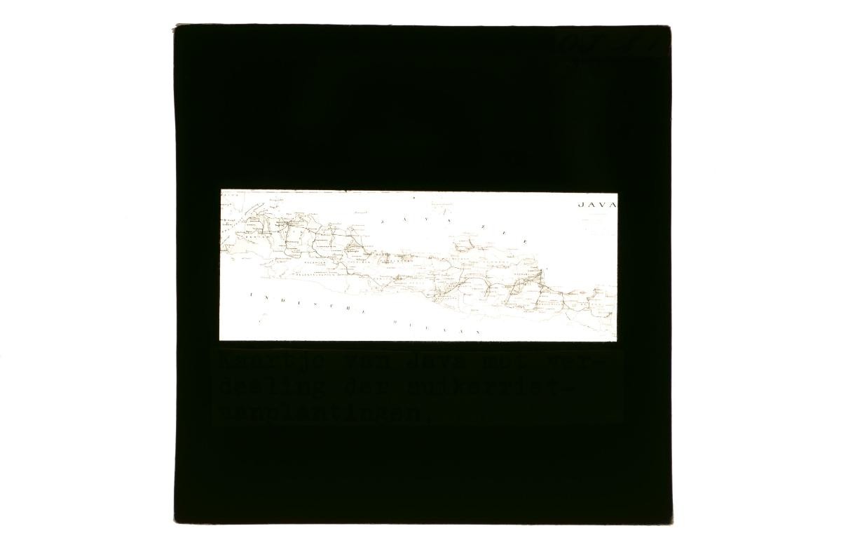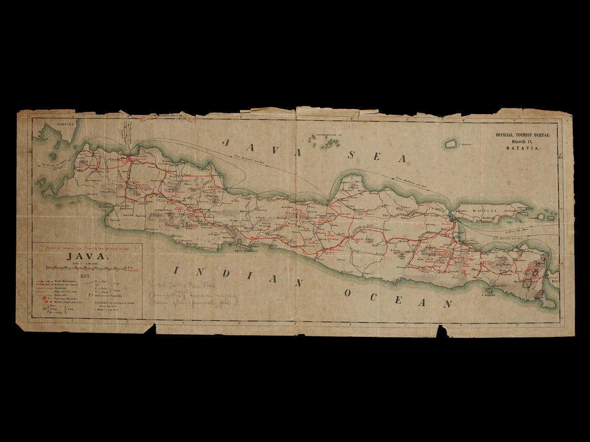
This map of Java was originally published by the Dutch East Indies Official Tourist Bureau in the early 20th century, but has been personalized with pencil shadings on various parts of the island. An accompanying legend written in pencil indicates that the shaded parts represent areas with rainforest, many of which corresponded with identified hills and mountains as indicated on the original map. The Dutch East Indies Official Tourist Bureau was set up in 1908, tasked to develop tourism as one of the economic drivers of the Dutch East Indies economy. One of the actions they took was to set up a large colonial district called Weltevreden towards the south of Batavia, to market it to European tourists transiting through the region, particularly Singapore. The early 20th century also saw to regular passage made by European naturalists and writers seeking to explore Southeast Asia, with many using Singapore as a base to transit from Europe to the Dutch East Indies and Borneo.