Title
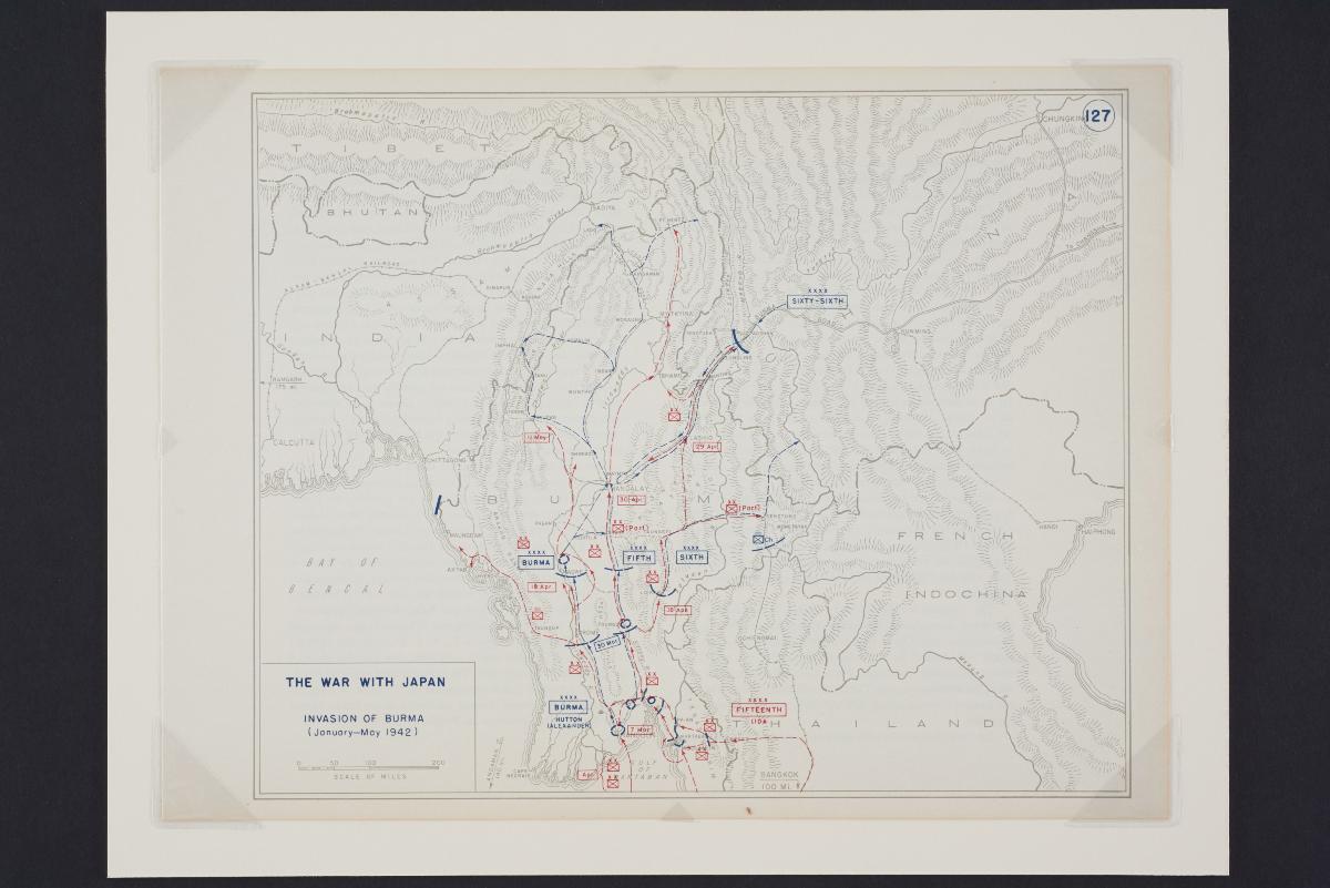
West Point training map titled "The War with Japan: Invasion of Burma (January-May 1942)"
Year/Period
1959
Material
Paper
Dimension
Object size: 25.8 x 34.4 cm
Accession No.
2017-00523
Collection of
NLB Type
Map
This is a topographical training map produced by West Point, the United States Military Academy, intended for use by its cadets. It documents the Japanese invasion of Burma from January to May 1942, with the movements of the Axis forces indicated in red and that of the Allied forces in blue.