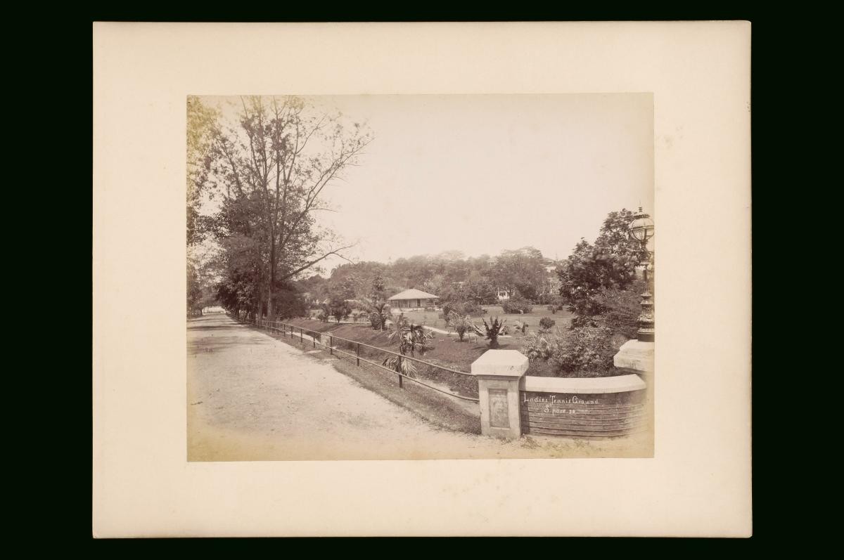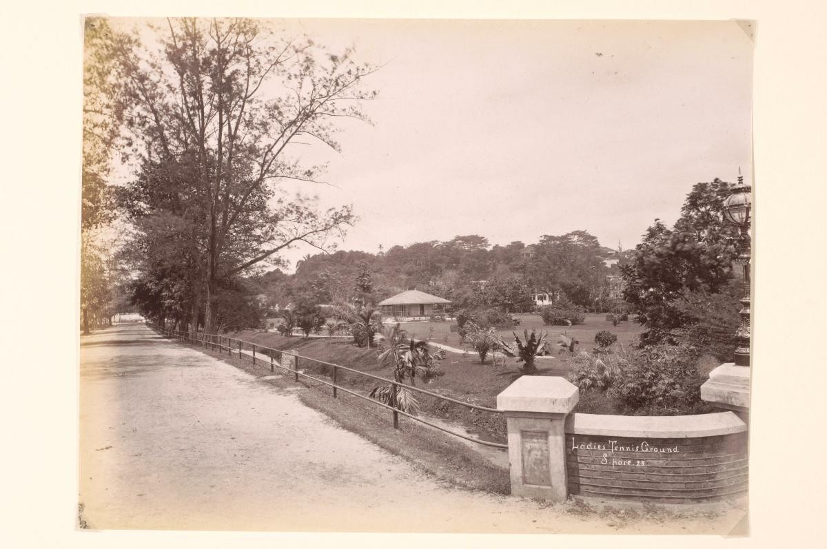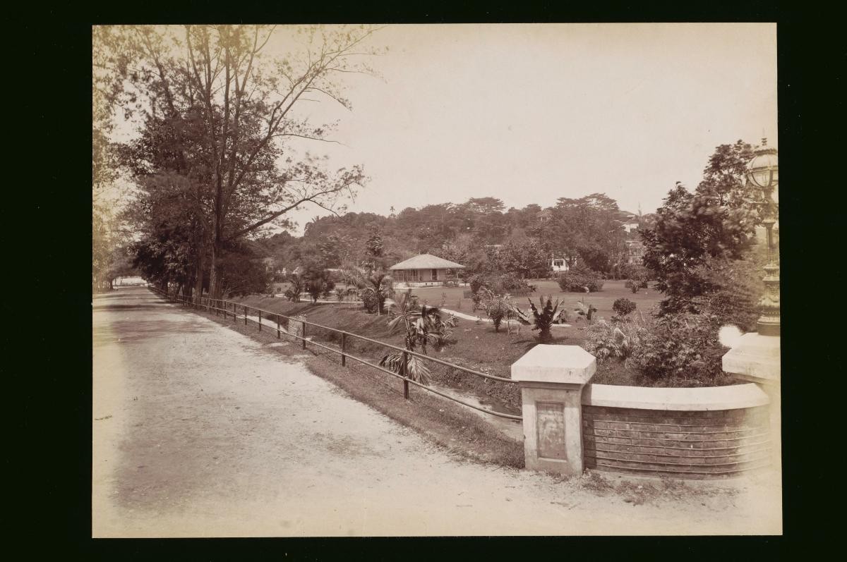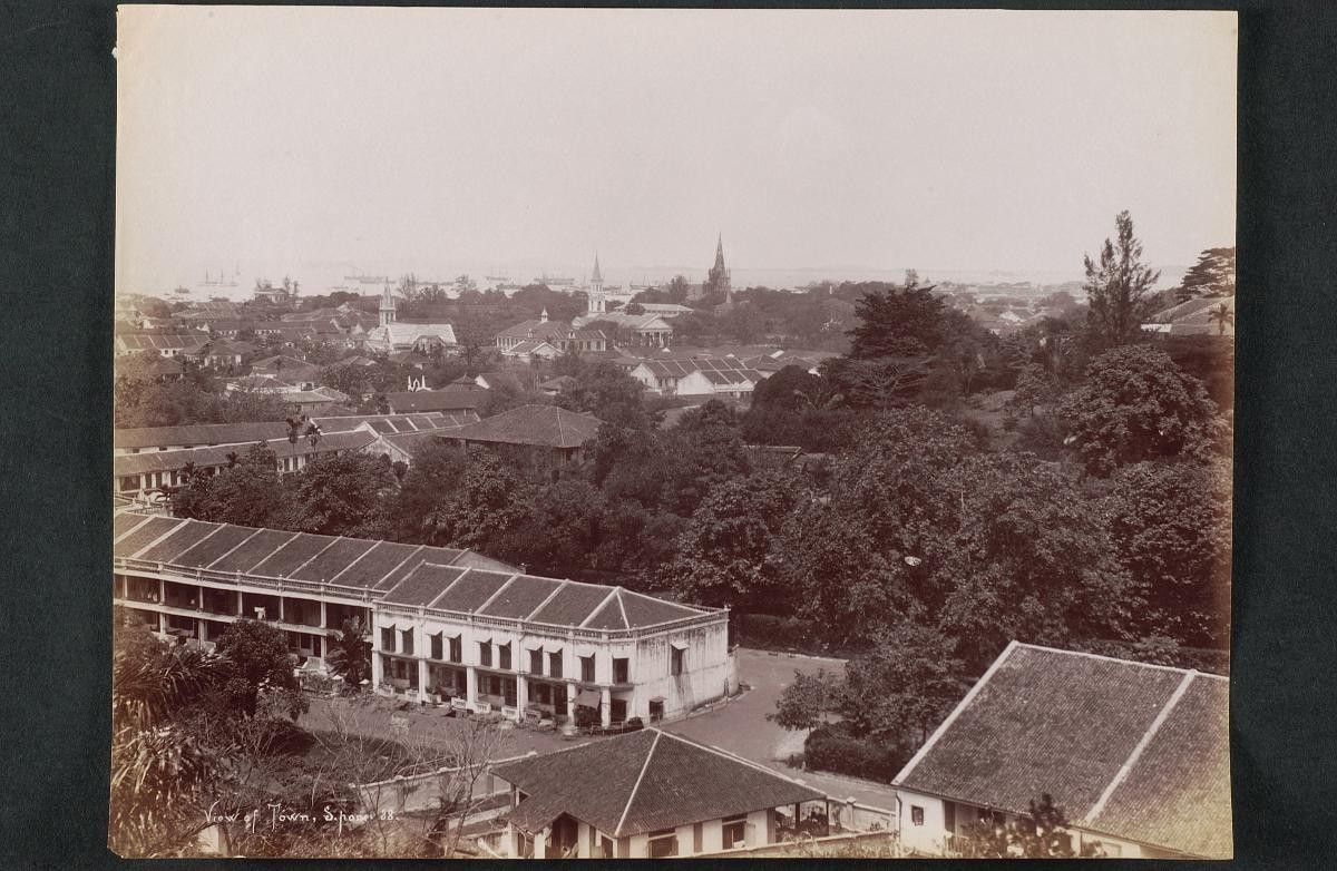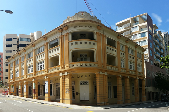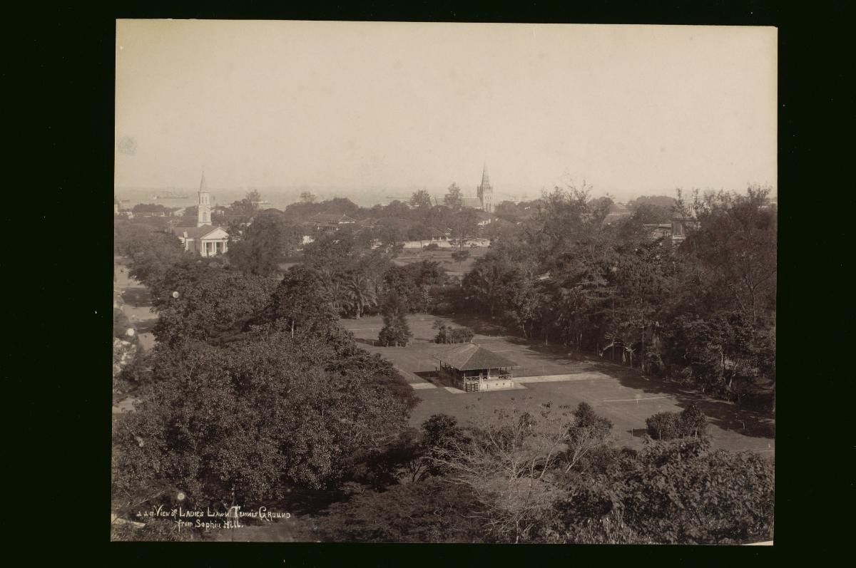
This view looks eastwards to the old European section of Singapore town. From left to right, one can see Bras Basah Road, the Cathedral of the Good Shepherd, St. Andrew’s Cathedral and even the dome of the Raffles Library and Museum. In the centre, one can see the main subject of the photograph, the Ladies’ Lawn Tennis Club grounds on Dhoby Ghaut. Mount Sophia was originally known as Bukit Seligi and is shown in the early survey maps of the town by John Turnbull Thomson, the Government Surveyor in the 1840s. Captain William Flint, Raffles’ brother-in-law and Singapore’s first Master Attendant, occupied the hill with his family from 1823 onwards. The hill was apparently named Mount Sophia by Flint in honour of Raffles’ second wife, Sophia Raffles, and also after his own daughter, Mary Sophia Anne. Mount Sophia was one of the earliest middle-class residential districts in Singapore.