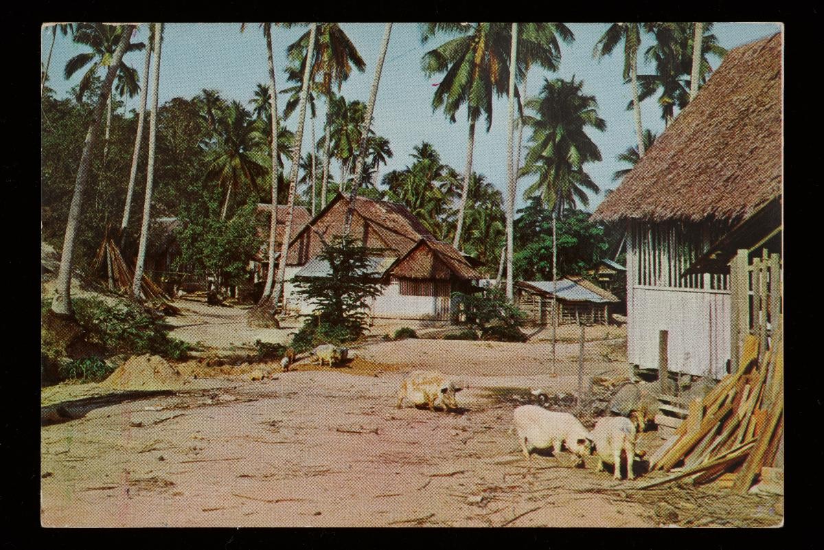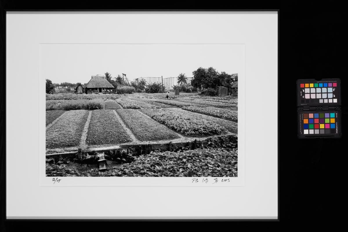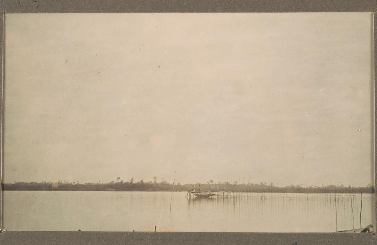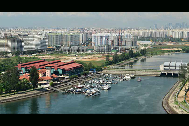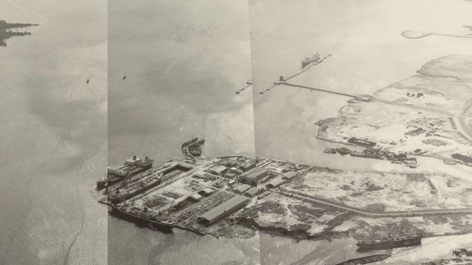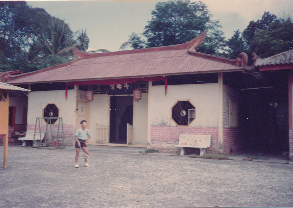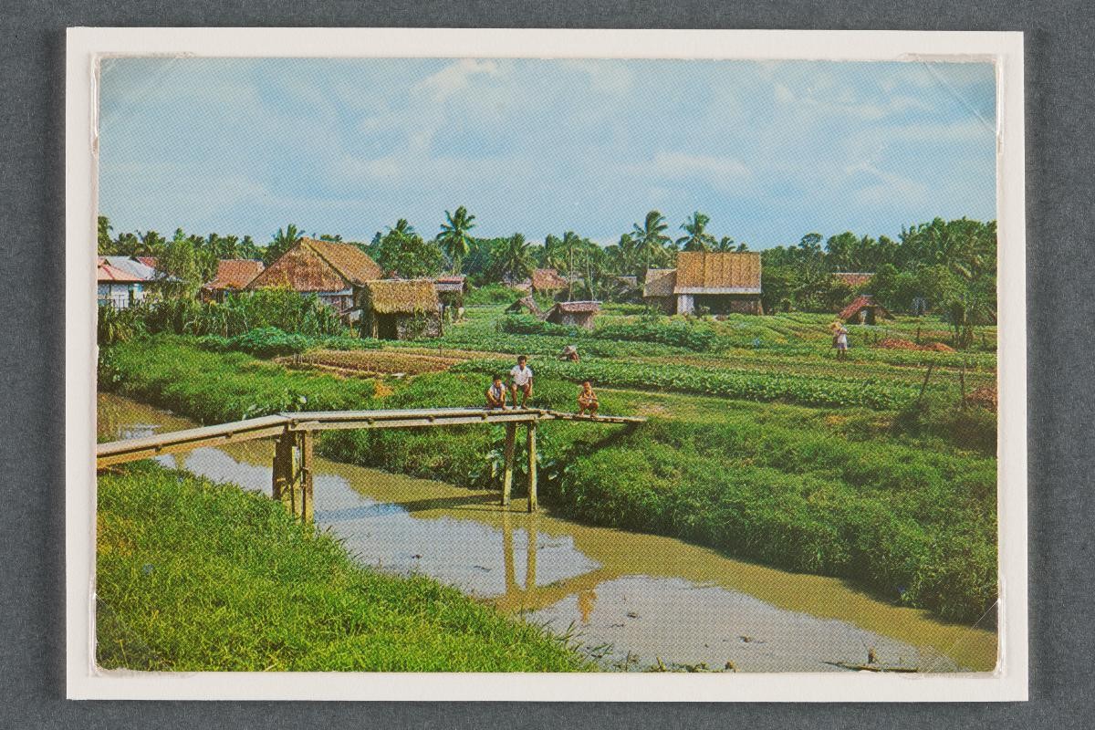
The Punggol district, situated at the northeastern part of Singapore, was first marked as ‘Tanjong Rangon’ in an 1828 map of Singapore by Franklin and Jackson. The term ‘Punggol’ (also spelt as ‘Ponggol’) means ‘hurling sticks at the branches of fruit trees to bring them down’ and probably indicates that the area was once a fruit growing district or the site of a produce market. Another theory is that the place was named after the Sungei Ponggol River located in the area. The Punggol district was originally a rural area where Chinese villagers engaged in poultry, pig, fish and vegetable farming activities. It was also the site of a Malay fishing village, Kampong Punggol, which was situated near the mouth of the Dekar River. The coastal area of Punggol was famous for its seafood restaurants and boatels offering recreational activities such as boating, water-skiing and skin-diving. Redevelopment of Punggol began in the 1970s and the area’s farms, seafood restaurants and boatels were gradually cleared out. In 1990, the government announced plans to build new public housing estates in the area under the Punggol 21 initiative. The Sengkang and Punggol New Towns were subsequently built in the area as part of the housing project.