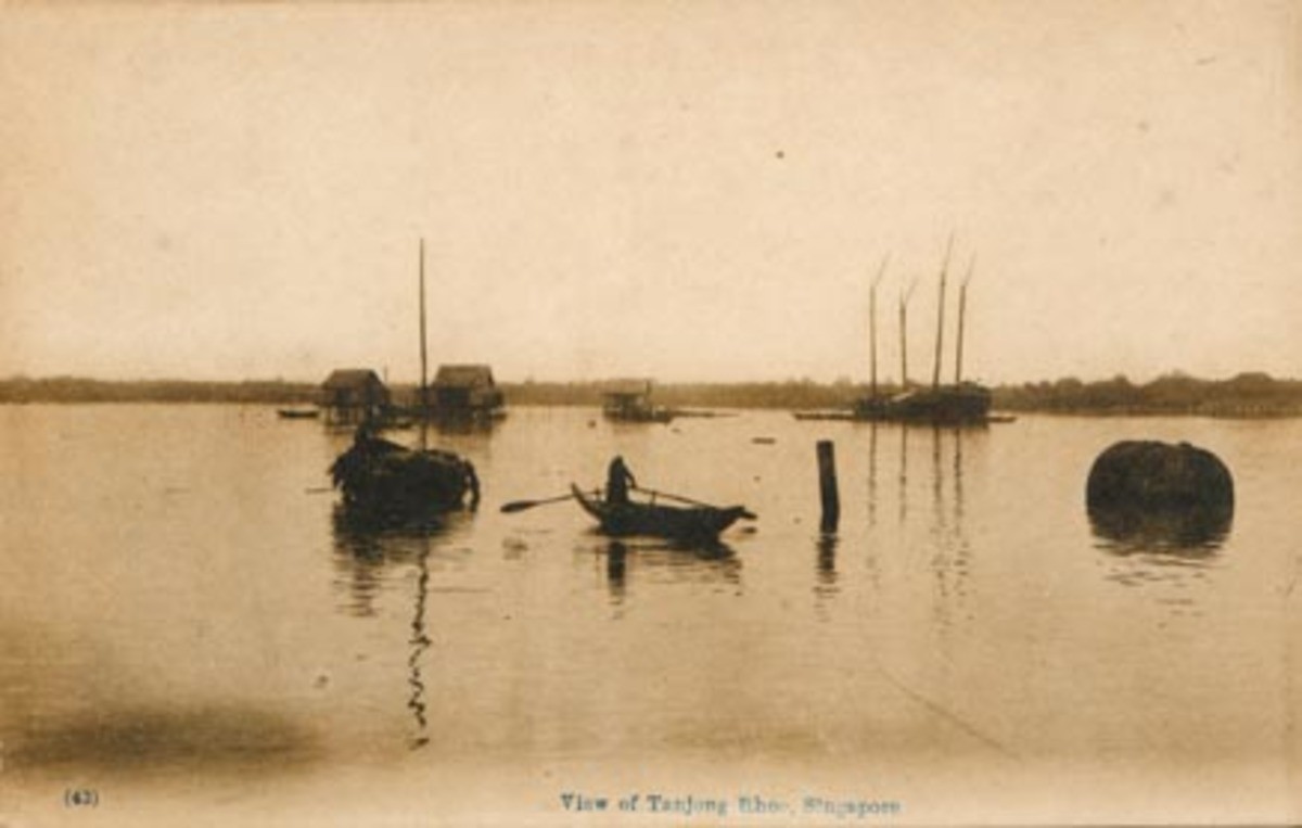
Title
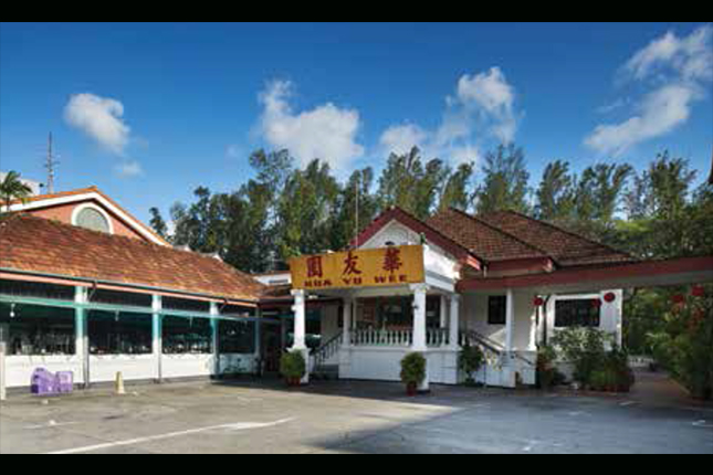
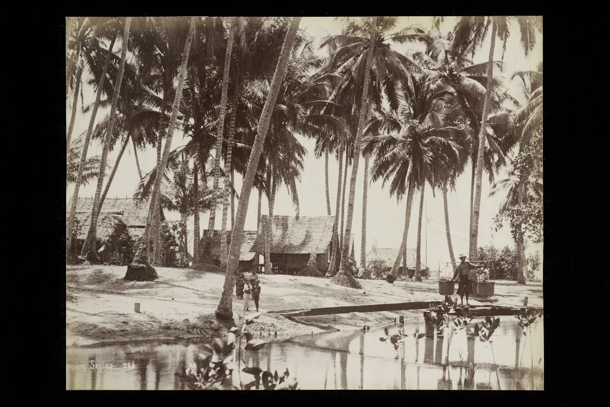
View of Tanjong Siglap
Year/Period
1890s
Region
Singapore
Object Type
Material
Dimension
Image size: L:21.1 * W:26.6cm
Accession No.
1996-00067
Collection of
The photograph shows a scene of village life in Siglap, on the east coast. A Siglap District—linked to the town via Geylang and Tanah Merah roads—had already existed in the 1846 Plan of Singapore Town and Adjoining Districts made by the Government Surveyor, John Turnbull Thomson. According to a Malay legend, dark thunder clouds had appeared as a Malay chief once landed in this area. This led the place to be known as Siglap, a corruption of the Malay word gelap, meaning “darkness that conceals”. Another interpretation was that nearby Bedok was a barren treeless area perceived as an open space, in contrast to the “dark” tree-shrouded area of Siglap.